Overview
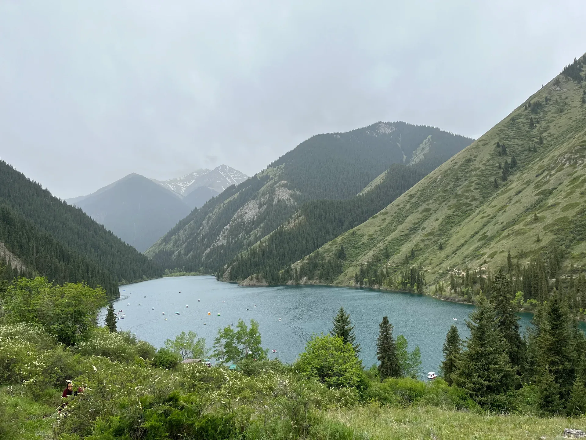
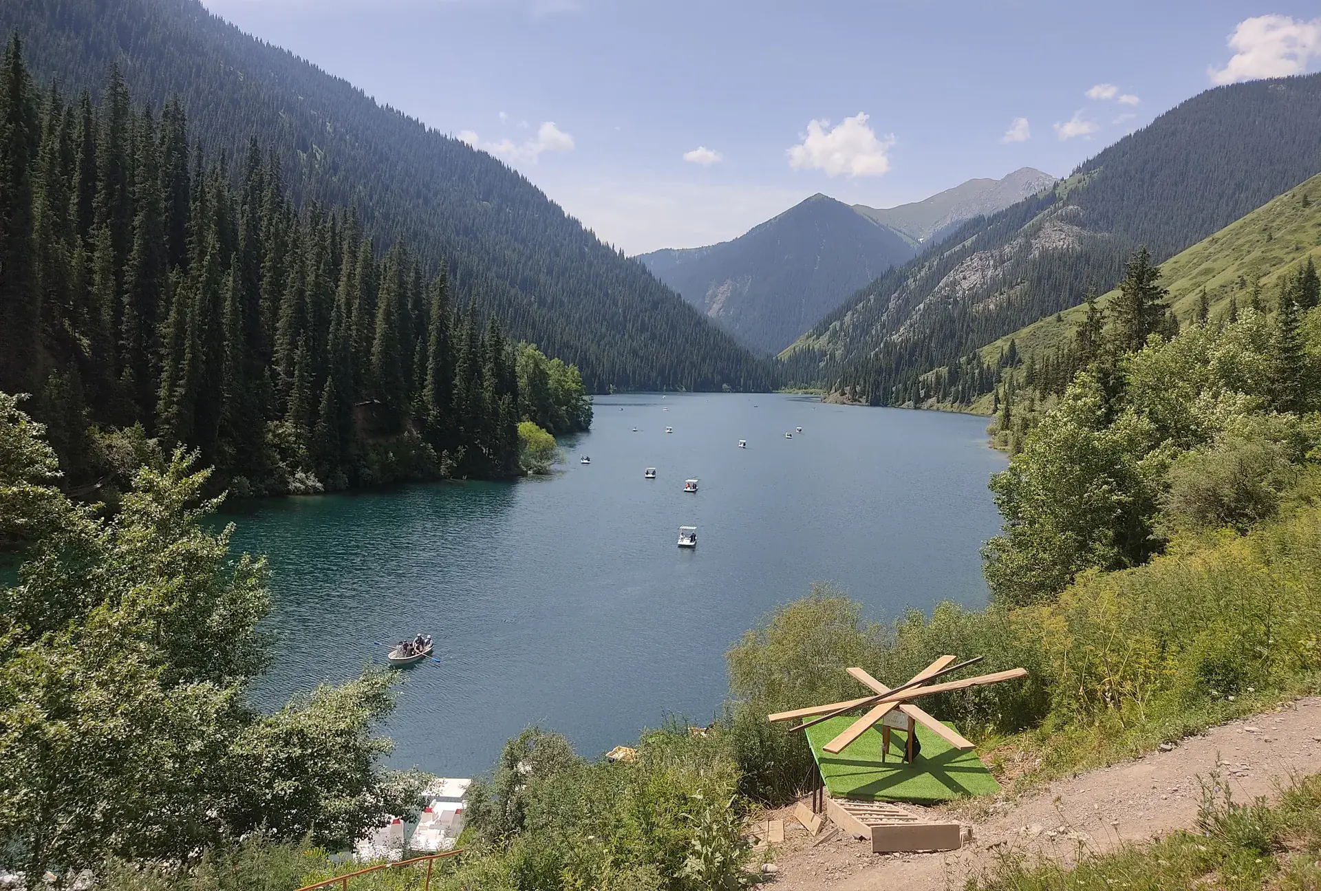
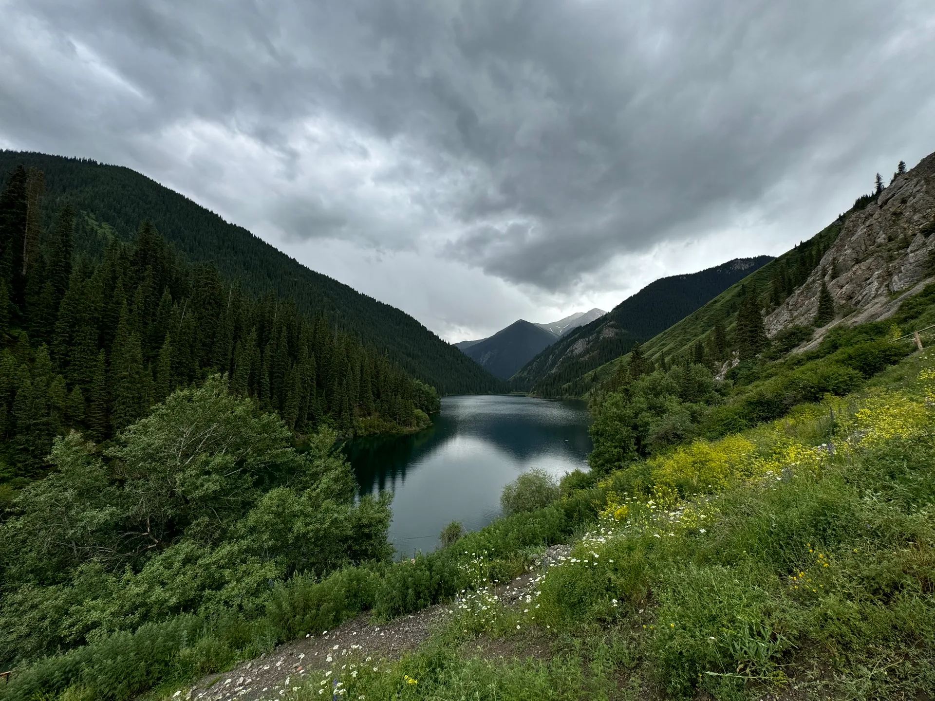
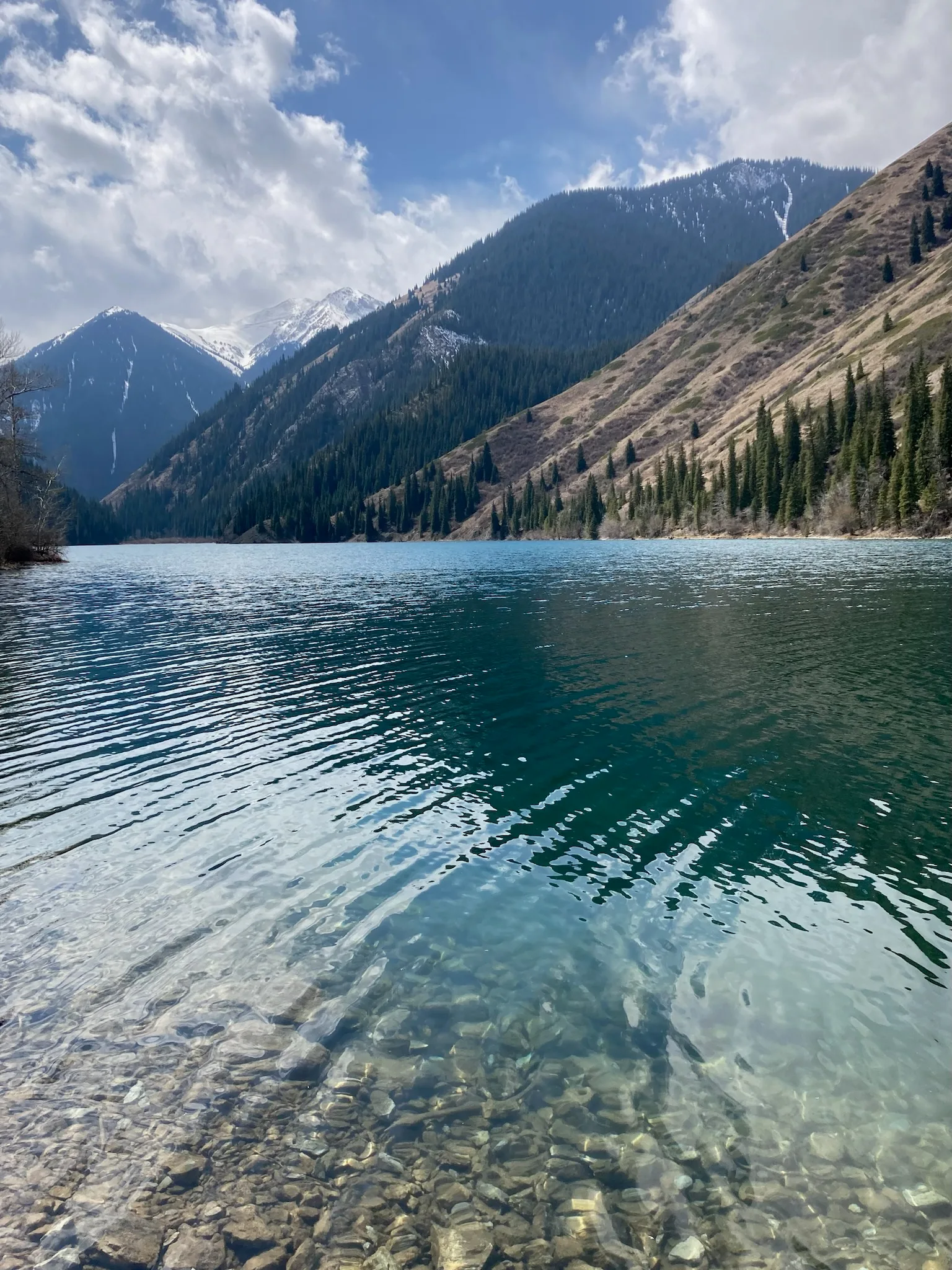
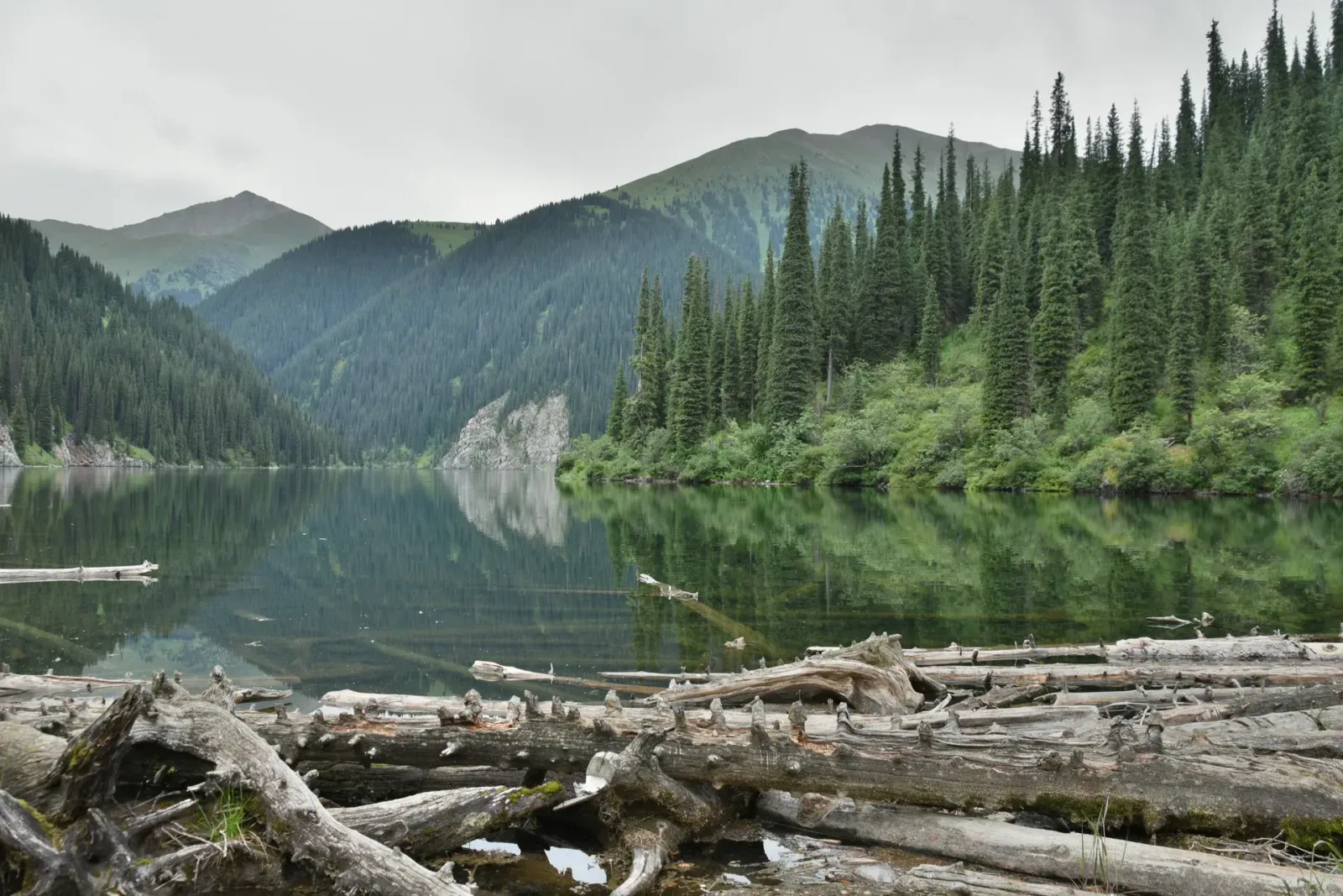
From Saty a paved road climbs 15 km to the Lower Kolsai Lake at 1,818 m. The lake sits at the foot of a steep gorge; a coniferous forest — Tien Shan spruce and fir — crowds the shoreline and the surrounding slopes. A marked trail follows the river upstream to Middle Kolsai at 2,252 m, a 3-4 hour round trip that gains about 430 m. The upper lake is not accessible without a special permit and guide due to the proximity of the Kyrgyz border. Border guards patrol the upper trail and check passports — carry yours. Horses are available for hire at the lower lake for those who prefer not to walk.
Open Kolsai Lakes in maps
Choose a map provider for this destination.
These links open only this place, not a full road-trip route. Links open in a new tab. 2GIS opens the map point; start navigation there.
Nearby planning from Kolsai Lakes
Kolsai planning separates the lower-lake visit from the longer climb toward Middle Kolsai and the rough road toward Kaindy.
Nearby from Kolsai Lakes
Lower Kolsai Lake Kolsai 1 — The lower lake sits at 1,818 m, about 1 km long, with a small beach area and a basic restaurant near the entrance.
- Mode
- Drive
- Approx. time
- 10 min
- Approx. distance
- 0 km
- Kind
- natural feature
The vehicle-accessible lake and practical starting point for most Kolsai walking.
Middle Kolsai Lake Kolsai 2 — The middle lake at 2,252 m is considered the most scenic of the three — wider, more open, and backed by higher ridgelines.
- Mode
- Walk
- Approx. time
- 240 min
- Approx. distance
- 8 km
- Kind
- natural feature
The uphill second-lake objective; budget the return to Lower Kolsai and do not continue higher without current border-zone clarity.
Saty Village — Saty is a small village of around 1,400 people at 1,450 m, tucked into the foothills south of the canyon country.
- Mode
- Drive
- Approx. time
- 35 min
- Approx. distance
- 15 km
- Kind
- village
The main village base for guesthouses, food, and transport checks.
Kaindy Lake — Kaindy Lake sits at 2,000 m and measures roughly 400 m long.
- Mode
- Drive
- Approx. time
- 90 min
- Approx. distance
- 27 km
- Kind
- natural feature
A separate rough-road lake plan from the same village base.
Gallery
Jump to visit notes
Visit notes
Viewing visit notes for Charyn–Kolsai–Kaindy Loop
Kolsai Lakes
Step 4 · 15 km from previous · 25 min drive

From Saty a paved road climbs 15 km to the Lower Kolsai Lake at 1,818 m. The lake sits at the foot of a steep gorge; a coniferous forest — Tien Shan spruce and fir — crowds the shoreline and the surrounding slopes. A marked trail follows the river upstream to Middle Kolsai at 2,252 m, a 3-4 hour round trip that gains about 430 m. The upper lake is not accessible without a special permit and guide due to the proximity of the Kyrgyz border. Border guards patrol the upper trail and check passports — carry yours. Horses are available for hire at the lower lake for those who prefer not to walk.