Overview
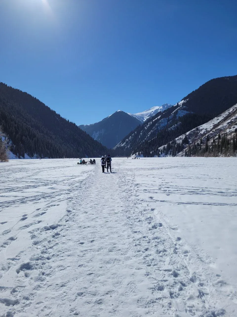
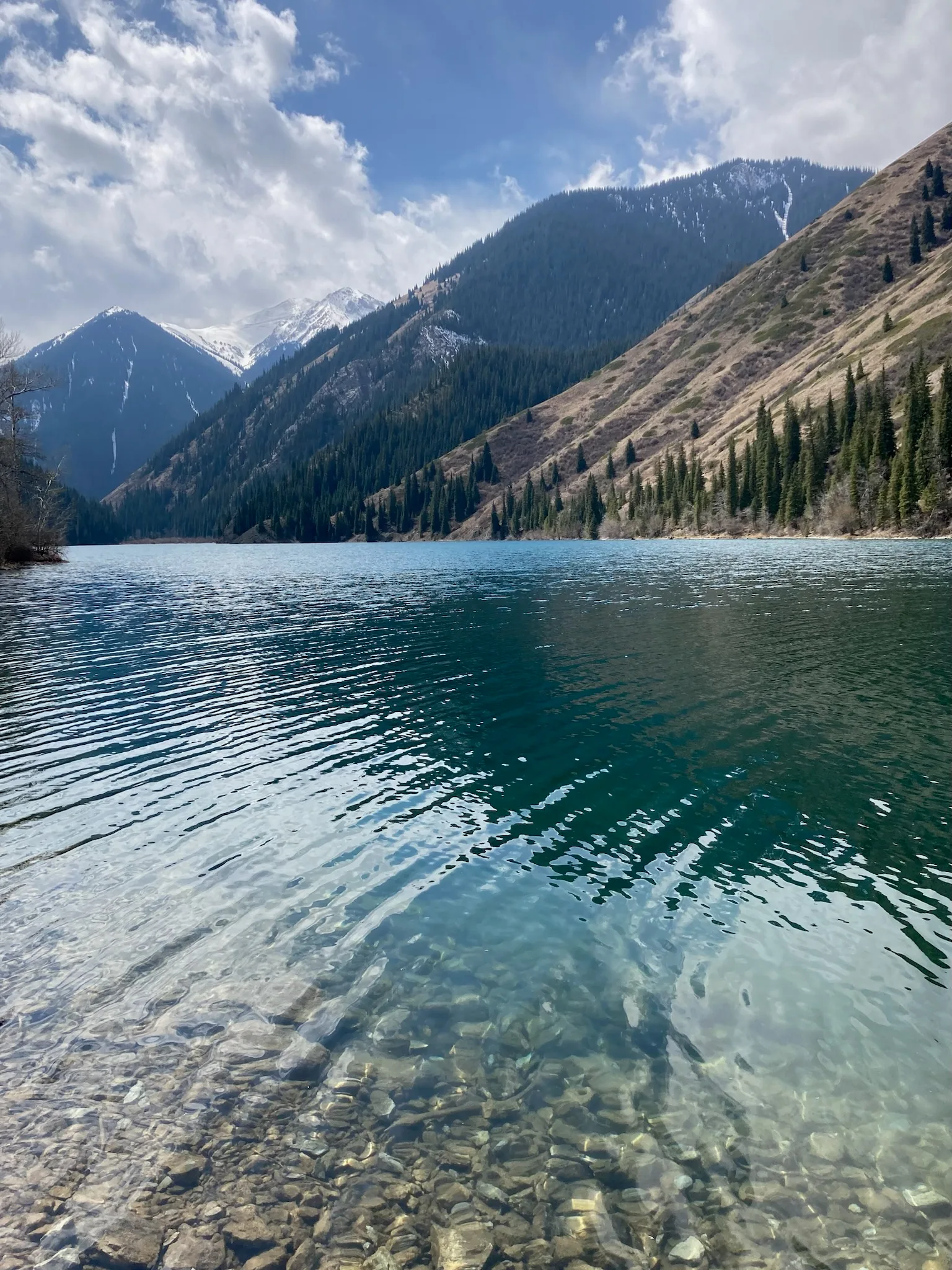
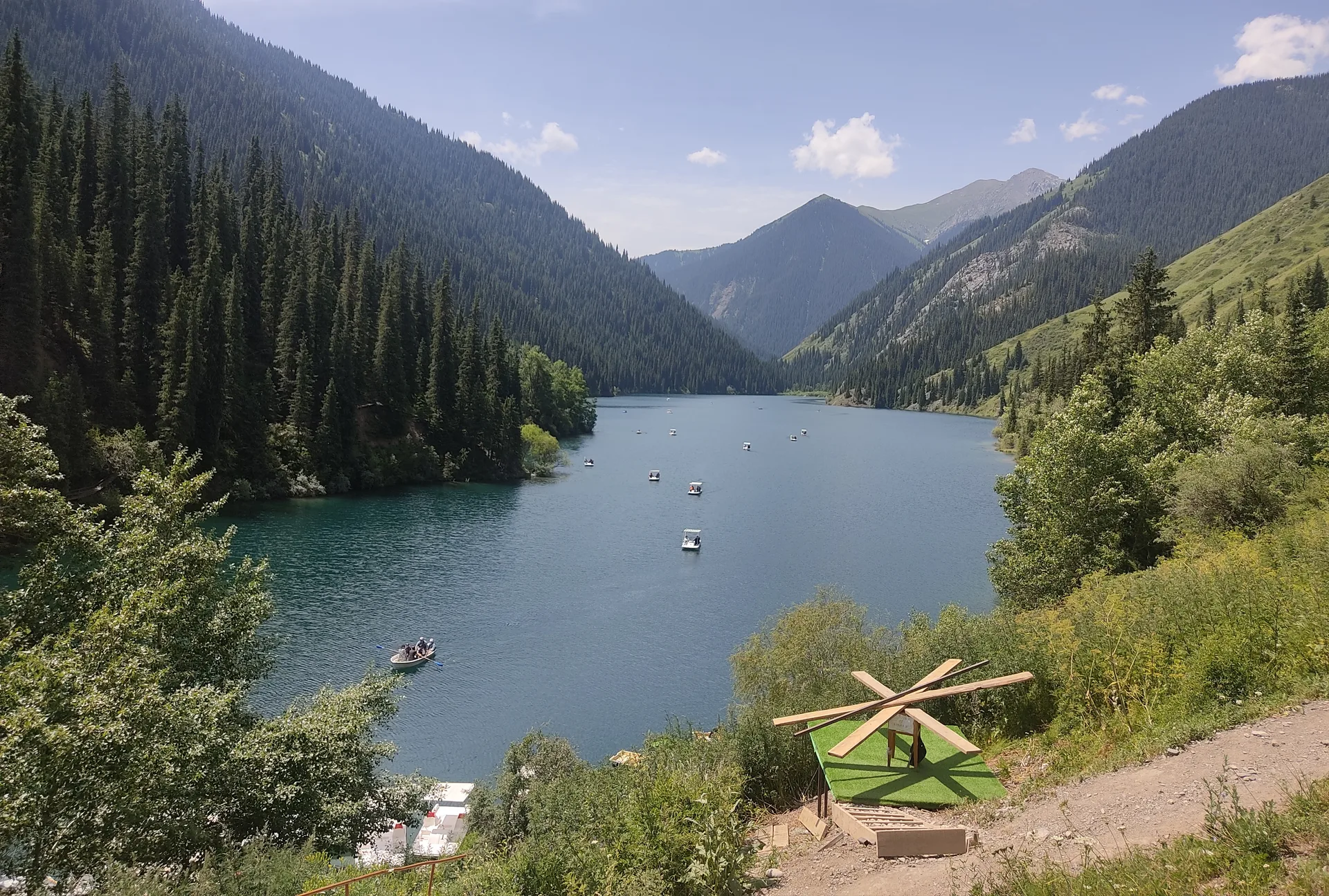
The lower lake sits at 1,818 m, about 1 km long, with a small beach area and a basic restaurant near the entrance. It is the only lake directly accessible by vehicle and the one most day-visitors see. The lake is deep (up to 39 m) and cold year-round. A loop trail around the lower lake takes 3–4 hours at a comfortable pace. Horse rentals are available from local herders at the trailhead for visitors who prefer not to hike upward. For those continuing to the middle lake, the trail climbs roughly 8 km through dense Tian Shan spruce.
Open Lower Kolsai Lake Kolsai 1 in maps
Choose a map provider for this destination.
These links open only this place, not a full road-trip route. Links open in a new tab. 2GIS opens the map point; start navigation there.
Curated trails and nearby things from Lower Kolsai Lake Kolsai 1
Lower Kolsai is the practical start for lake-edge walking and the climb toward Middle Kolsai.
Trail options
If the interactive map is unavailable, the trail cards and nearby list include the same critical details.
Selected trail: Lower Kolsai to Middle Kolsai lake trail. Critical route notes remain in the cards below.
Skip map and read trail details
Katariyakartikey via Wikimedia Commons · CC0 · Source
Lower Kolsai to Middle Kolsai lake trail
A strenuous out-and-back forest climb from the vehicle-accessible lower lake to Middle Kolsai, with park and border-zone rules shaping the turnaround.
Use this only when you have enough daylight for the climb to Middle Kolsai and the same return to the lower lake.
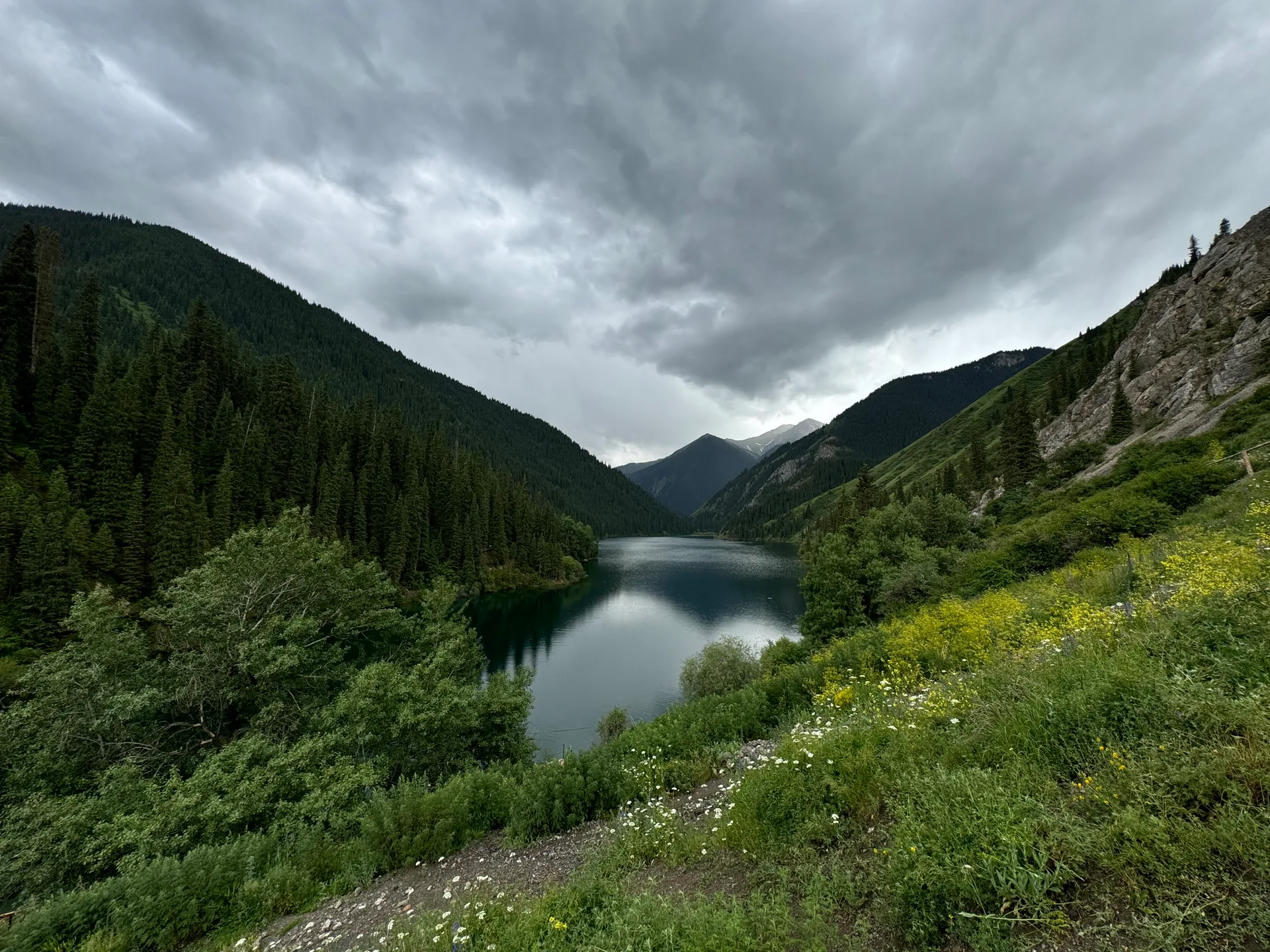
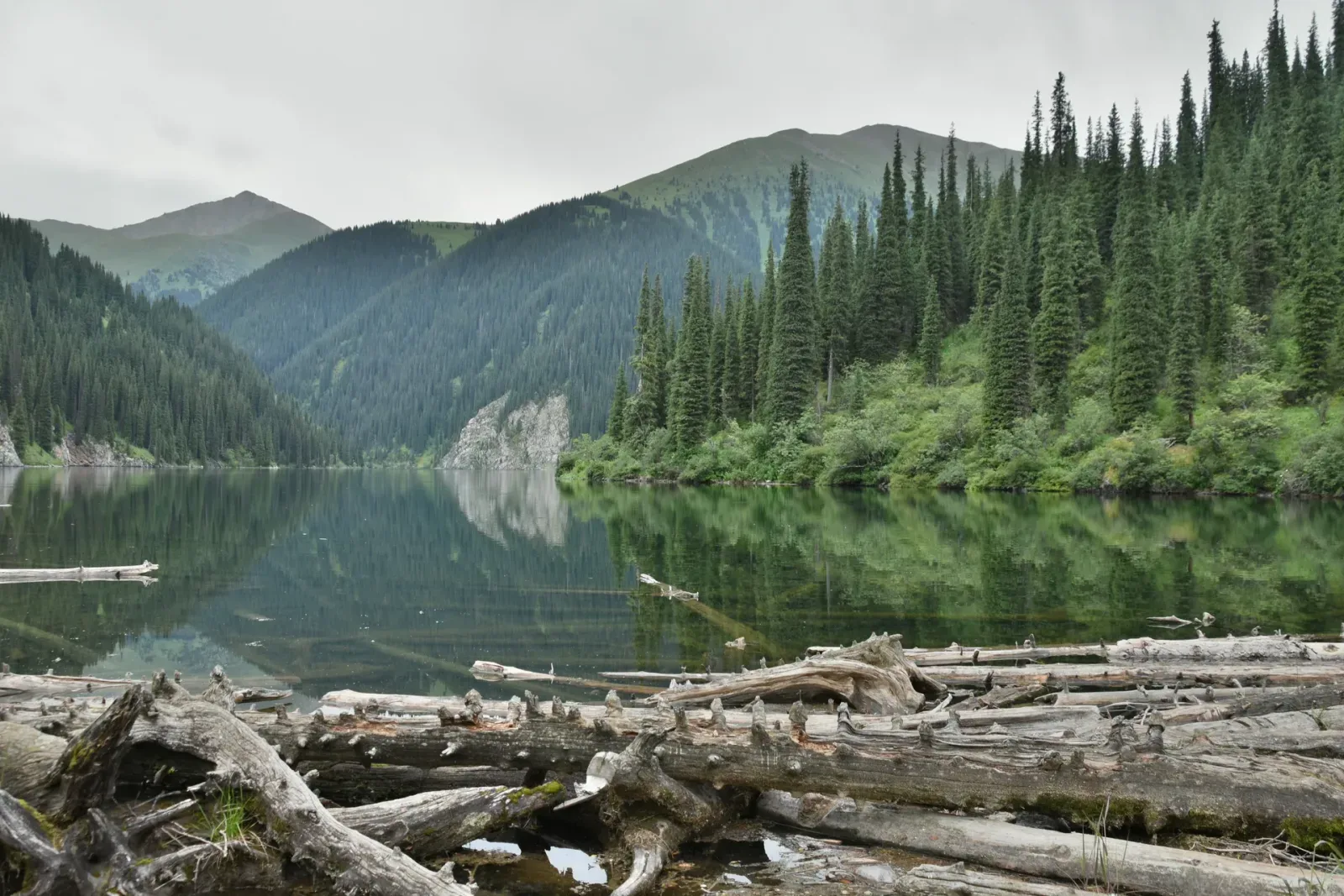
The route starts at the Lower Kolsai visitor area and follows the established lake-and-forest trail toward Middle Kolsai, then returns by the same path. The climb leaves the busy lower shore, passes through Tian Shan spruce, and gains height steadily before the second lake opens below the slopes. Treat Middle Kolsai as the turnaround unless current border-zone paperwork and local advice support continuing higher.
- Distance
- 16 km
- Time
- 8 hr
- Difficulty
- Hard
- Route
- Out and back
Hard because the route climbs for several hours at altitude, can be muddy or icy, and has limited services beyond the lower lake.
Approximate geometry: use the waypoint list as planning context, not a navigation track.
Access
Start from the Lower Kolsai visitor area reached by road from Saty. Horses may share the route in season.
Kolsai Lakes National Park entry rules apply. Carry passport; routes beyond Middle Kolsai toward upper lakes or passes can require border-zone permission.
Season: Best in the warmer hiking season after snowmelt. Mud, cold rain, and early snow can change the route quickly.
Cautions
- mud and wet roots
- horse traffic on the trail
- cold mountain weather
- altitude above 1,800 m
- border-zone restrictions beyond the middle lake
Waypoints
- Lower Kolsai visitor area — Start from the lake edge and visitor facilities.
- Lower lake south shore — Follow the established lake-edge path before the climb steepens.
- Lower lake head — The lake-edge section bends around the head of the lower lake before the forest climb.
- Spruce forest climb — The trail gains height through forest and can be muddy after rain.
- Upper forest approach — Stay on the established path and watch for horse traffic.
- Middle Kolsai turnaround — Use Middle Kolsai as the normal turnaround without border-zone clearance for higher routes.
Sources and review notes
- Detailed travel guide to Kolsai Lakes (en, retrieved 2026-04-27)
- Kolsai Lakes (en, retrieved 2026-04-27)
- Kolsai Lakes (ru, retrieved 2026-04-27)
- Border-zone permit service (ru, retrieved 2026-04-27)
Approximate planning geometry; distance and timing are round-trip and vary by condition and horse traffic. Do not imply access beyond Middle Kolsai without current border-zone confirmation. Owner queue has a non-blocking follow-up to confirm current border-zone wording.
Nearby from Lower Kolsai Lake Kolsai 1
Saty Village — Saty is a small village of around 1,400 people at 1,450 m, tucked into the foothills south of the canyon country.
- Mode
- Drive
- Approx. time
- 35 min
- Approx. distance
- 15 km
- Kind
- village
Saty is the main base for guesthouses, food, and road-condition checks before Kolsai or Kaindy days.
Middle Kolsai Lake Kolsai 2 — The middle lake at 2,252 m is considered the most scenic of the three — wider, more open, and backed by higher ridgelines.
- Mode
- Walk
- Approx. time
- 240 min
- Approx. distance
- 8 km
- Kind
- natural feature
The normal uphill objective from Lower Kolsai; budget the same route back unless current border-zone rules support going higher.
Kaindy Lake — Kaindy Lake sits at 2,000 m and measures roughly 400 m long.
- Mode
- Drive
- Approx. time
- 90 min
- Approx. distance
- 27 km
- Kind
- natural feature
A separate rough-road outing from the Saty area; road and ford conditions decide whether to combine it.
Kaindy Parking Area — The 12 km track from the Saty turnoff to the parking area is the crux of the trip.
- Mode
- Drive
- Approx. time
- 80 min
- Approx. distance
- 25 km
- Kind
- trailhead
The final vehicle stop for Kaindy; from there the lake still needs a short foot or horse segment.
Gallery

Jump to visit notes
Visit notes
Viewing visit notes for Charyn's Canyons, Kaindy & the Kolsai Lakes
Lower Kolsai Lake
Step 6 · 27 km from previous · 75 min drive
The lowest of the three Kolsai lakes at 1,818 m, ringed by dense Tian-Shan spruce. An easy 2 km shoreline loop; the middle lake is a 3-4 hour hike beyond and not compatible with driving home the same day.
Viewing visit notes for Kolsai Lakes
Lower Kolsai Lake (Kolsai-1)
Step 3 · 15 km from previous · 30 min drive

The lower lake sits at 1,818 m, about 1 km long, with a small beach area and a basic restaurant near the entrance. It is the only lake directly accessible by vehicle and the one most day-visitors see. The lake is deep (up to 39 m) and cold year-round. A loop trail around the lower lake takes 3–4 hours at a comfortable pace. Horse rentals are available from local herders at the trailhead for visitors who prefer not to hike upward. For those continuing to the middle lake, the trail climbs roughly 8 km through dense Tian Shan spruce.