
Overview
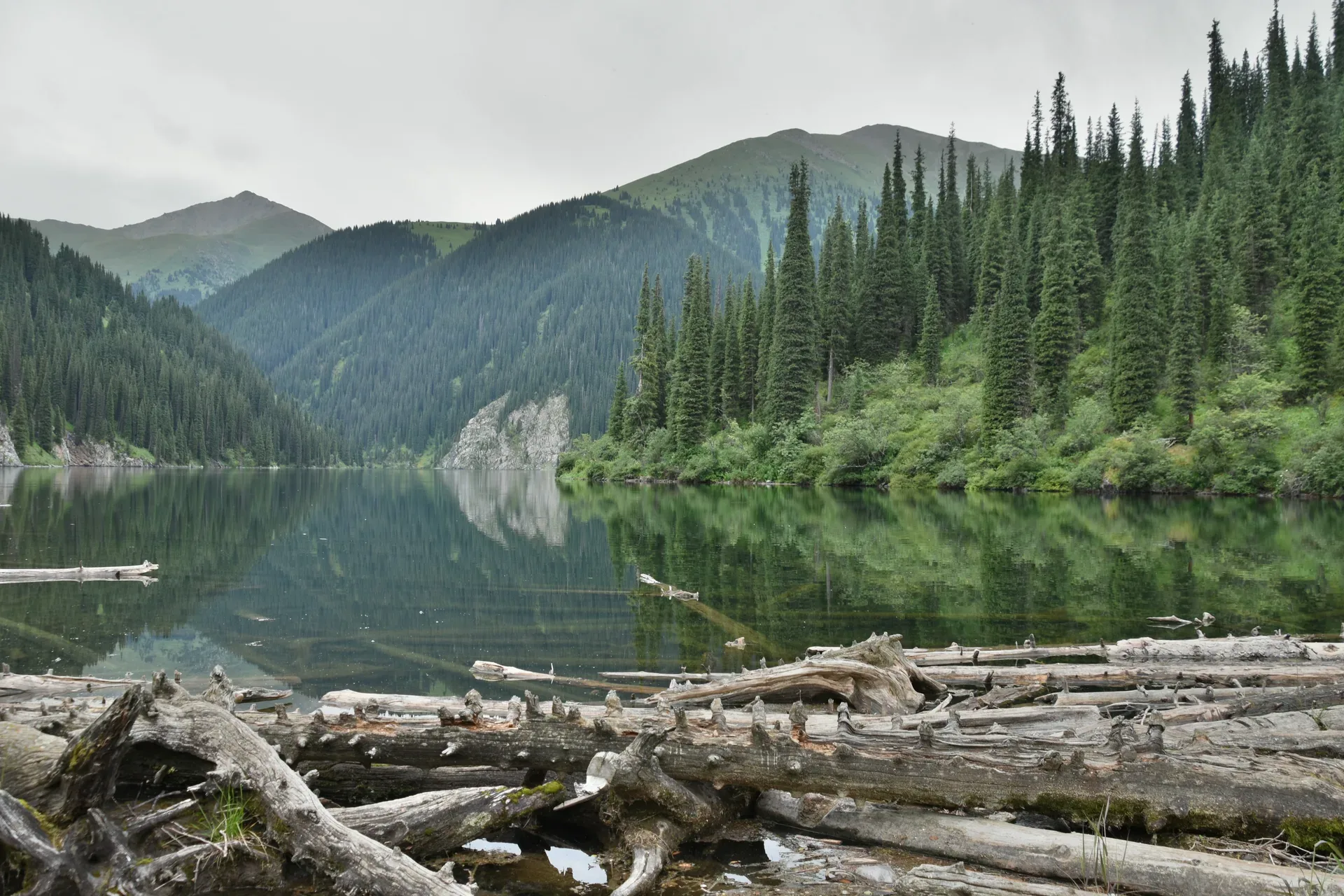
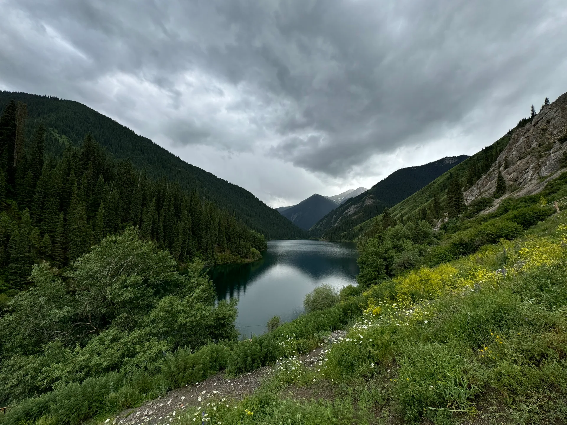
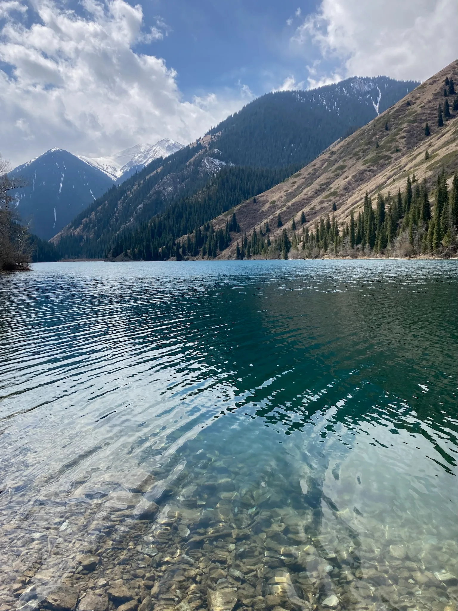
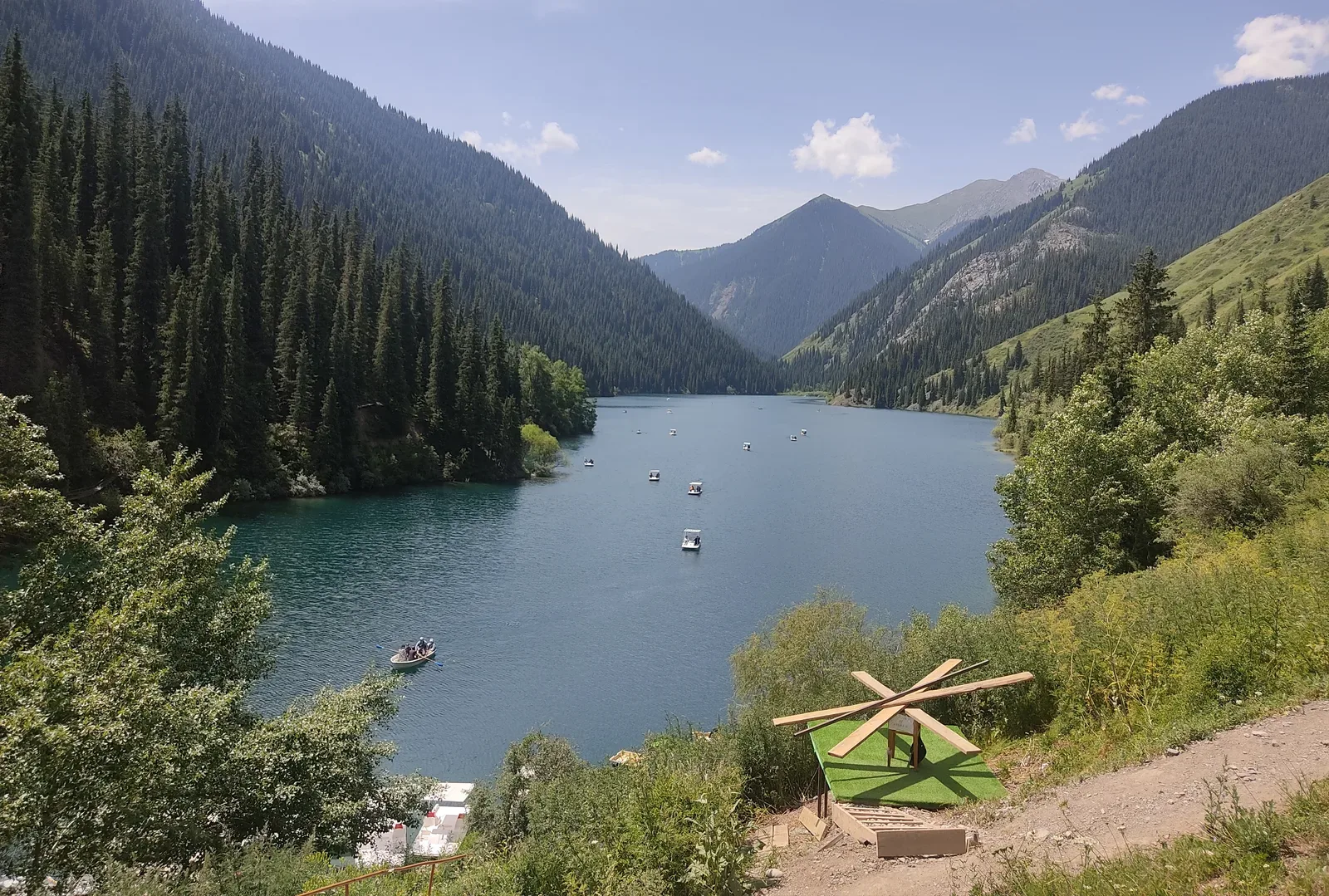
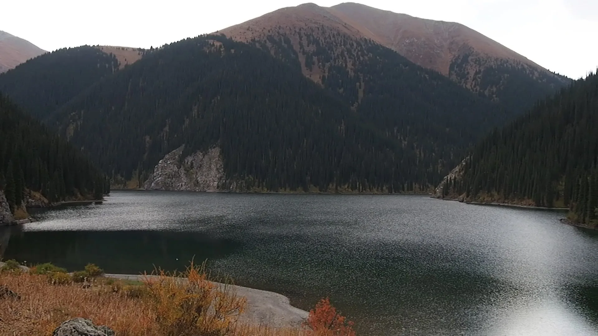
The middle lake at 2,252 m is considered the most scenic of the three — wider, more open, and backed by higher ridgelines. The 8 km trail from the lower lake gains around 430 m in elevation and takes 3–4 hours one way. Camping is permitted on the grassy meadows at the lake's edge; organized campsites with basic facilities are available. This is the practical turn-around point for a two-day trip without a border permit. The middle lake is also where guards check documents: beyond here, toward the upper lake and the Sary-Bulak pass, a пропуск is mandatory.
Open Middle Kolsai Lake Kolsai 2 in maps
Choose a map provider for this destination.
These links open only this place, not a full road-trip route. Links open in a new tab. 2GIS opens the map point; start navigation there.
Gallery
Jump to visit notes
Visit notes
Viewing visit notes for Kolsai Lakes
Middle Kolsai Lake (Kolsai-2)
Step 4 · 8 km from previous · 0 min drive
The middle lake at 2,252 m is considered the most scenic of the three — wider, more open, and backed by higher ridgelines. The 8 km trail from the lower lake gains around 430 m in elevation and takes 3–4 hours one way. Camping is permitted on the grassy meadows at the lake's edge; organized campsites with basic facilities are available. This is the practical turn-around point for a two-day trip without a border permit. The middle lake is also where guards check documents: beyond here, toward the upper lake and the Sary-Bulak pass, a пропуск is mandatory.