Overview
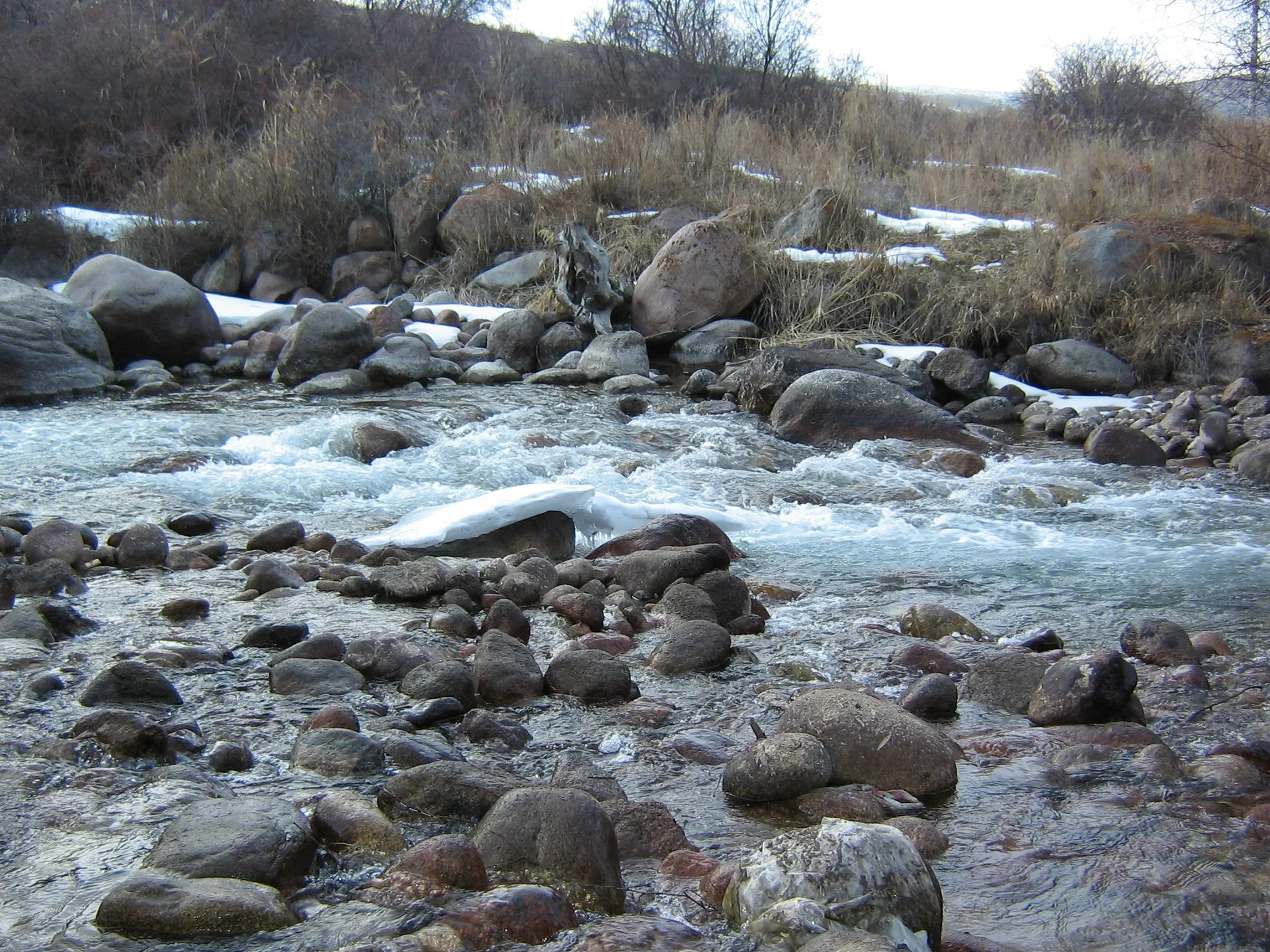
The gorge narrows noticeably about 3 km past the valley turn-off, where a barrier marks the Ile-Alatau National Park boundary. The eco-post collects the entry fee (approximately 380–500 KZT per person, cash only). The paved road continues another 10–11 km beyond this point, winding alongside the Kaskelen River through widening spruce-and-birch woodland. The canyon walls here are composed of folded metamorphic rock rather than the softer limestone in the lower section — the transition between rock types is visible in the cliff colours as you drive south. The river runs fast and cold even in summer and is audible but not always visible through the trees.
Open Gorge Canyon Entry Eco Post in maps
Choose a map provider for this destination.
These links open only this place, not a full road-trip route. Links open in a new tab. 2GIS opens the map point; start navigation there.
Nearby planning from Gorge Canyon Entry Eco Post
The Kaskelen gorge entry is nearby planning for fee checks, road condition, and low-impact stops farther up the valley.
Nearby from Gorge Canyon Entry Eco Post
Riverbed Walk Wild Apple Grove — At roughly 1,400–1,500 m elevation, the gorge floor widens briefly and the riverbank hosts the densest wild-apple and apricot stands in the area.
- Mode
- Drive
- Approx. time
- 20 min
- Approx. distance
- 5 km
- Kind
- natural feature
A lower-gorge natural stop; keep to existing access tracks and avoid fragile riverbank edges.
Dry Waterfall Limestone Strata — A seasonal waterfall drops over a limestone ledge at around 1,750 m.
- Mode
- Drive
- Approx. time
- 45 min
- Approx. distance
- 12 km
- Kind
- natural feature
A seasonal upper-gorge stop where wet road and limestone ledges affect access.
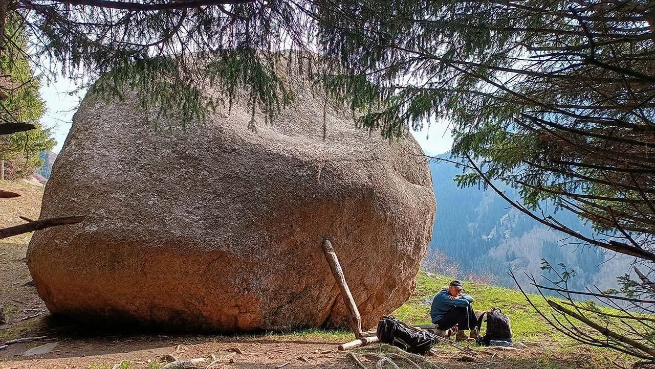
Uy Tas Glacial Erratic 2 000 M — Uy-Tas — Kazakh for 'stone house' or 'yurt stone' — sits alone on the ridge crest at approximately 2,000 m elevation, 1.5–2 km from the upper parking area on a clear trail through birch groves.
- Mode
- Drive
- Approx. time
- 55 min
- Approx. distance
- 13 km
- Kind
- natural feature
A higher objective that needs clearer route and coordinate review before a mapped trail is published.
Tegiszhol Petroglyph Area — The Tegiszhol sector of the gorge, at approximately 1,600–1,700 m, contains scattered Bronze-Age and Saka-period rock carvings on dark-patinated cliff faces along the right bank of the Kaskelen.
- Mode
- Drive
- Approx. time
- 30 min
- Approx. distance
- 7 km
- Kind
- cultural site
A fragile archaeology stop; use official or local guidance and do not leave marks or remove stones.
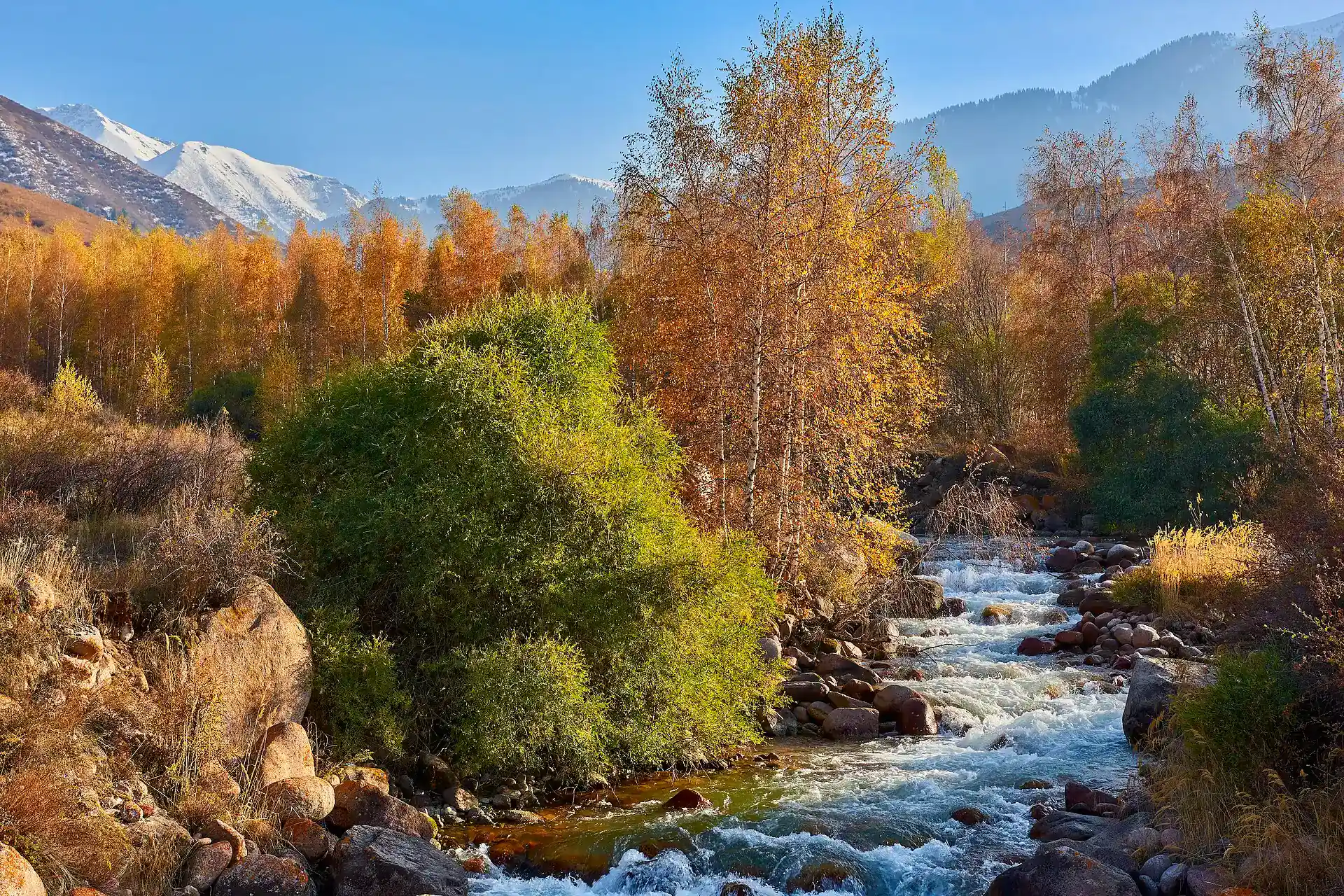
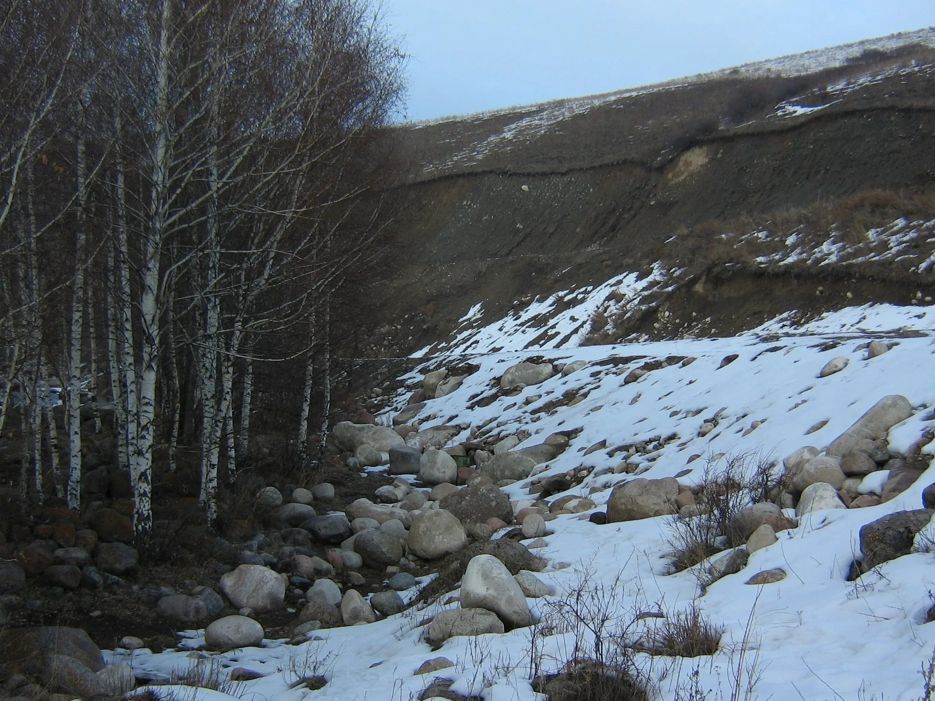
Gallery
.jpg)
.jpg)
Jump to visit notes
Visit notes
Viewing visit notes for Kaskelen Gorge
Gorge Canyon Entry — Eco-Post
Step 3 · 16 km from previous · 25 min drive

The gorge narrows noticeably about 3 km past the valley turn-off, where a barrier marks the Ile-Alatau National Park boundary. The eco-post collects the entry fee (approximately 380–500 KZT per person, cash only). The paved road continues another 10–11 km beyond this point, winding alongside the Kaskelen River through widening spruce-and-birch woodland. The canyon walls here are composed of folded metamorphic rock rather than the softer limestone in the lower section — the transition between rock types is visible in the cliff colours as you drive south. The river runs fast and cold even in summer and is audible but not always visible through the trees.