
Overview
A seasonal waterfall drops over a limestone ledge at around 1,750 m. By mid-July the upper catchment is dry and the fall runs as a trickle or stops entirely, leaving a polished channel and a stepped cascade of pale limestone bands that read clearly in afternoon light. The exposed strata show the alternating carbonite layers typical of the western Trans-Ili Alatau — a geological contrast to the granite-dominated eastern ranges around Almaty. The pool below the ledge holds water longer into summer and is a reliable rest point before the final push to the Uy-Tas ridge. Schrenk spruce trees thin out above this point and give way to sub-alpine meadow.
Open Dry Waterfall Limestone Strata in maps
Choose a map provider for this destination.
These links open only this place, not a full road-trip route. Links open in a new tab. 2GIS opens the map point; start navigation there.
Gallery
.jpg)
Jump to visit notes
Visit notes
Viewing visit notes for Kaskelen Gorge
Dry Waterfall — Limestone Strata
Step 6 · 2 km from previous · 0 min drive
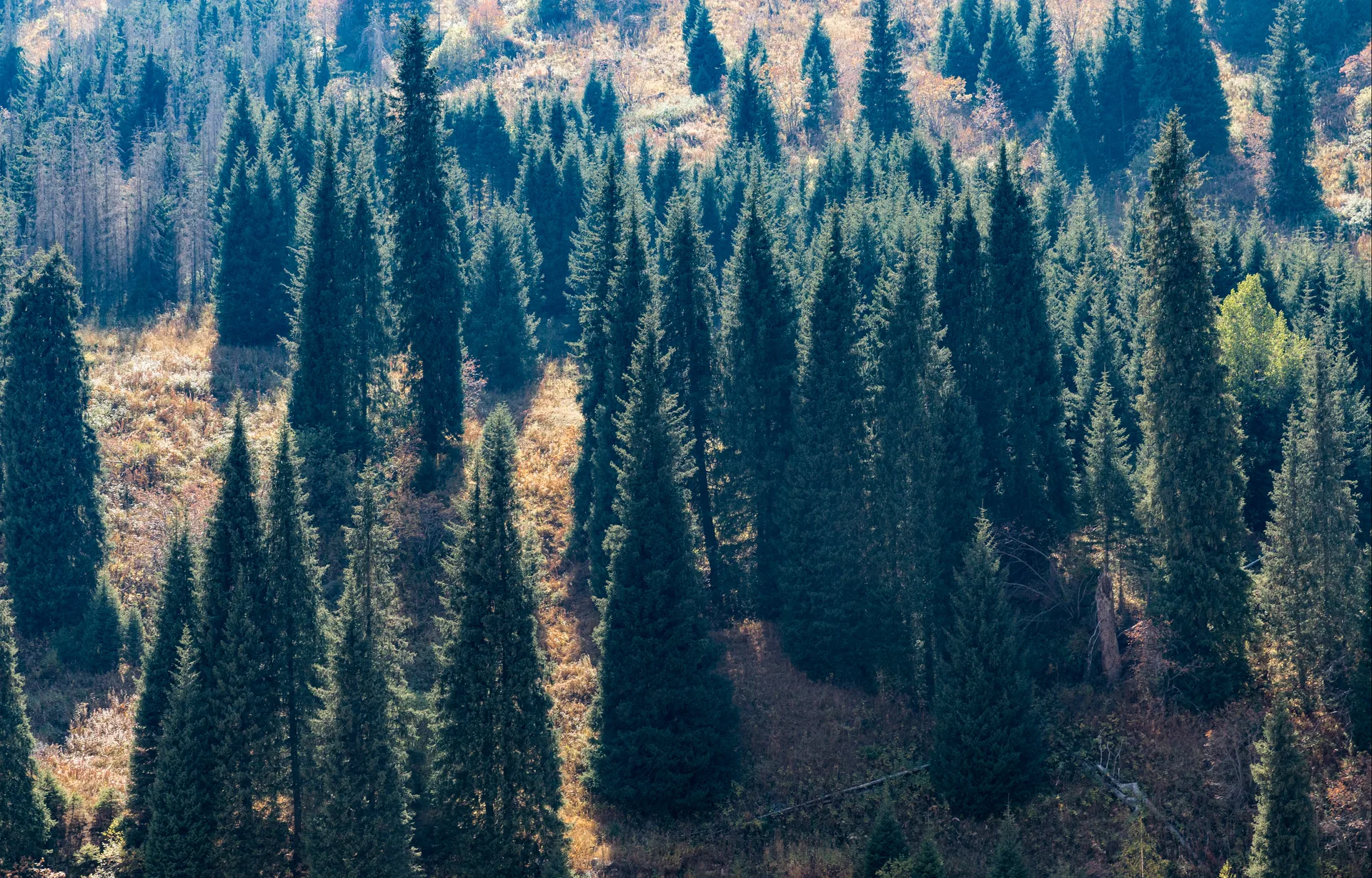
A seasonal waterfall drops over a limestone ledge at around 1,750 m. By mid-July the upper catchment is dry and the fall runs as a trickle or stops entirely, leaving a polished channel and a stepped cascade of pale limestone bands that read clearly in afternoon light. The exposed strata show the alternating carbonite layers typical of the western Trans-Ili Alatau — a geological contrast to the granite-dominated eastern ranges around Almaty. The pool below the ledge holds water longer into summer and is a reliable rest point before the final push to the Uy-Tas ridge. Schrenk spruce trees thin out above this point and give way to sub-alpine meadow.