Overview
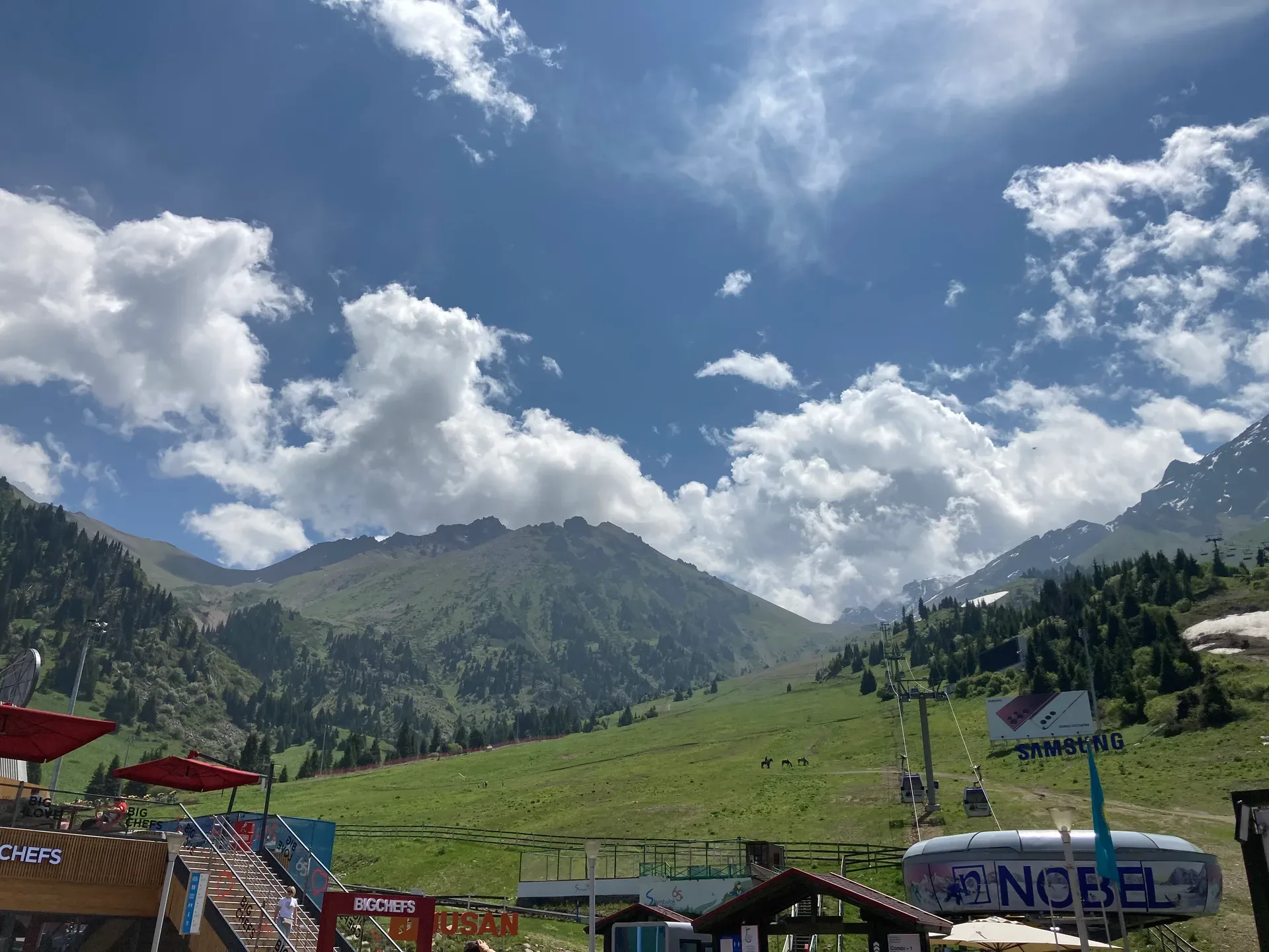
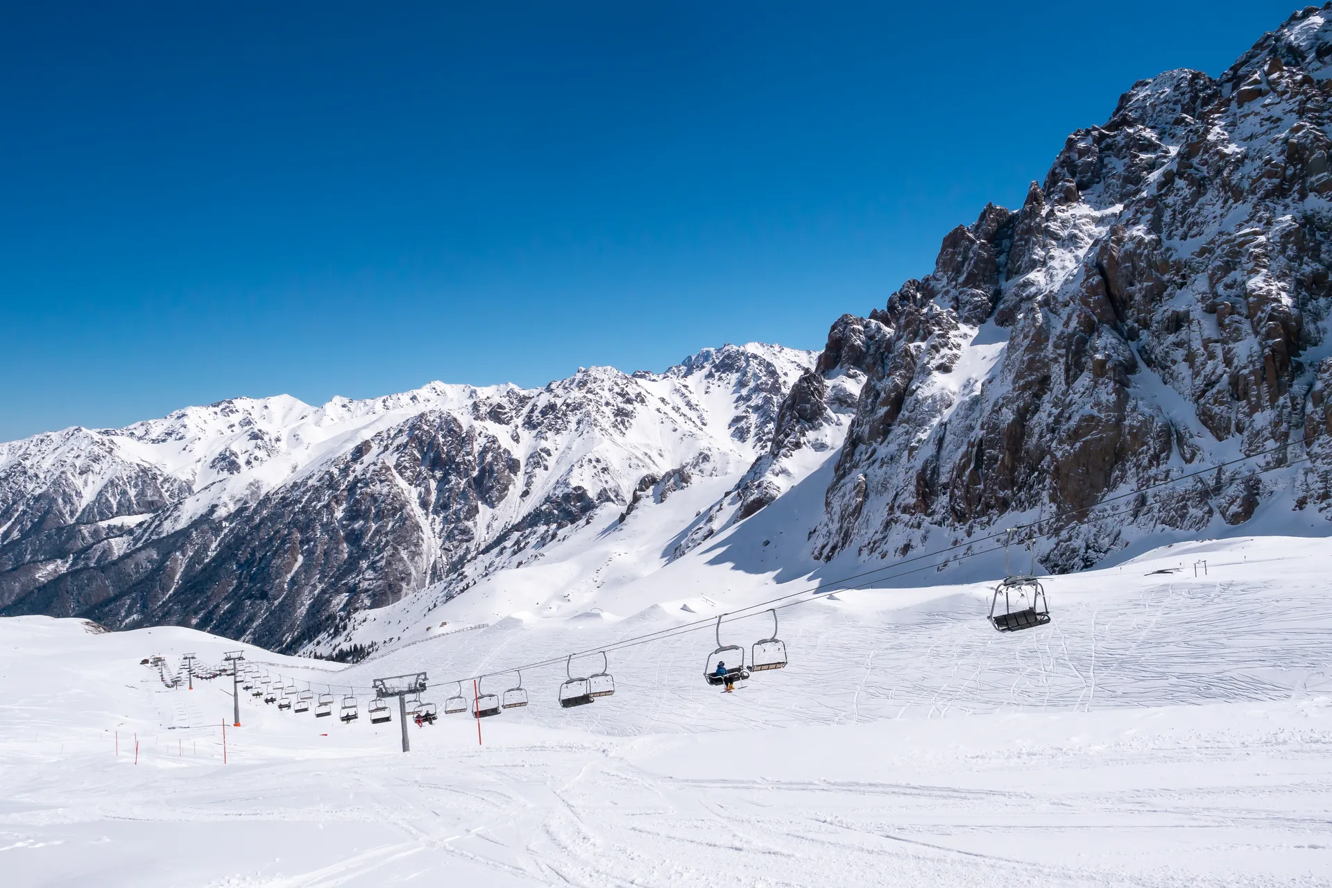
From the Medeu gondola station, 8-person cabins depart for Shymbulak, rising 570 m over 4.5 km in roughly 15–20 minutes. The resort base sits at 2,260 m among open alpine meadows that in summer fill with wildflowers. In winter the resort operates 20 km of pisted runs — green, blue, red, and black — spread across a 1,000 m vertical. Equipment rental, ski school, and several café-restaurants are available at the base. The resort is the largest ski area in Central Asia and drew amateur skiers from the 1940s onward before formal infrastructure arrived.
Open Shymbulak in maps
Choose a map provider for this destination.
These links open only this place, not a full road-trip route. Links open in a new tab. 2GIS opens the map point; start navigation there.
Nearby planning from Shymbulak
Shymbulak is a planning base for cable-car viewpoints and high-valley starts where weather, altitude, and last-descent timing matter.
Nearby from Shymbulak
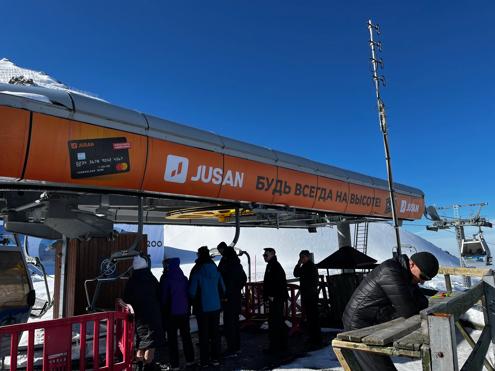
Talgar Pass 3 200 M — A second gondola stage continues south from the Shymbulak base to Talgar Pass at 3,200 m — the highest point accessible by the cable car system.
- Mode
- Shuttle
- Approx. time
- 35 min
- Approx. distance
- 5 km
- Kind
- natural feature
Reach the pass by lift when operating; exposure and weather at 3,200 m can close the plan fast.
Tuyuksu Gate And Alpinists Memorial 2 500 M — The trail south from Shymbulak passes through the Tuyuksu mountaineering camp and reaches the Alpinists' Memorial at around 2,500 m — a monument to climbers killed in the Zailiysky Alatau.
- Mode
- Walk
- Approx. time
- 90 min
- Approx. distance
- 4 km
- Kind
- trailhead
A lower high-valley objective from the resort area; confirm conditions before continuing higher.
Mynzhylki Plateau And Dam 3 000 M — The gorge opens abruptly onto the Mynzhylki plateau at 3,000 m — a wide, flat alpine valley whose Kazakh name means 'a thousand mares,' reflecting its historical use as high-altitude pasture.
- Mode
- Walk
- Approx. time
- 150 min
- Approx. distance
- 7 km
- Kind
- natural feature
A harder high-altitude continuation where snow, wind, and last lift timing shape the day.
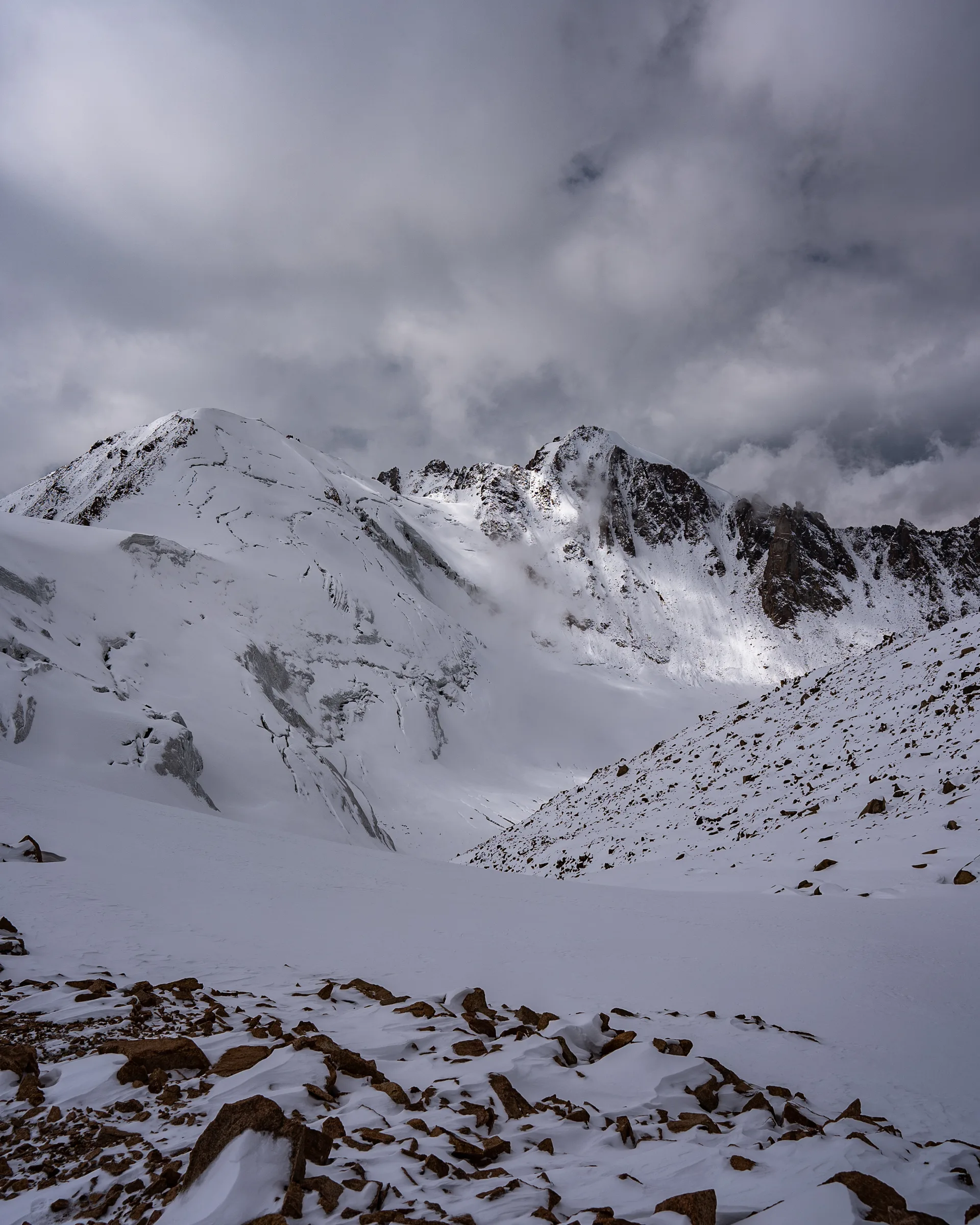
Glacier Terminus Viewpoint 3 400 M — The T-1 glaciological station sits on the moraine at 3,445 m, approximately 1.5 km from the current glacier terminus.
- Mode
- Walk
- Approx. time
- 270 min
- Approx. distance
- 9 km
- Kind
- natural feature
A serious upper-moraine objective, not a casual extension from the ski area.
Gallery

.jpg)
.jpg)
Jump to visit notes
Visit notes
Viewing visit notes for Medeu & Shymbulak
Shymbulak ski resort base (2,260 m)
Step 3 · 5 km from previous · 20 min drive
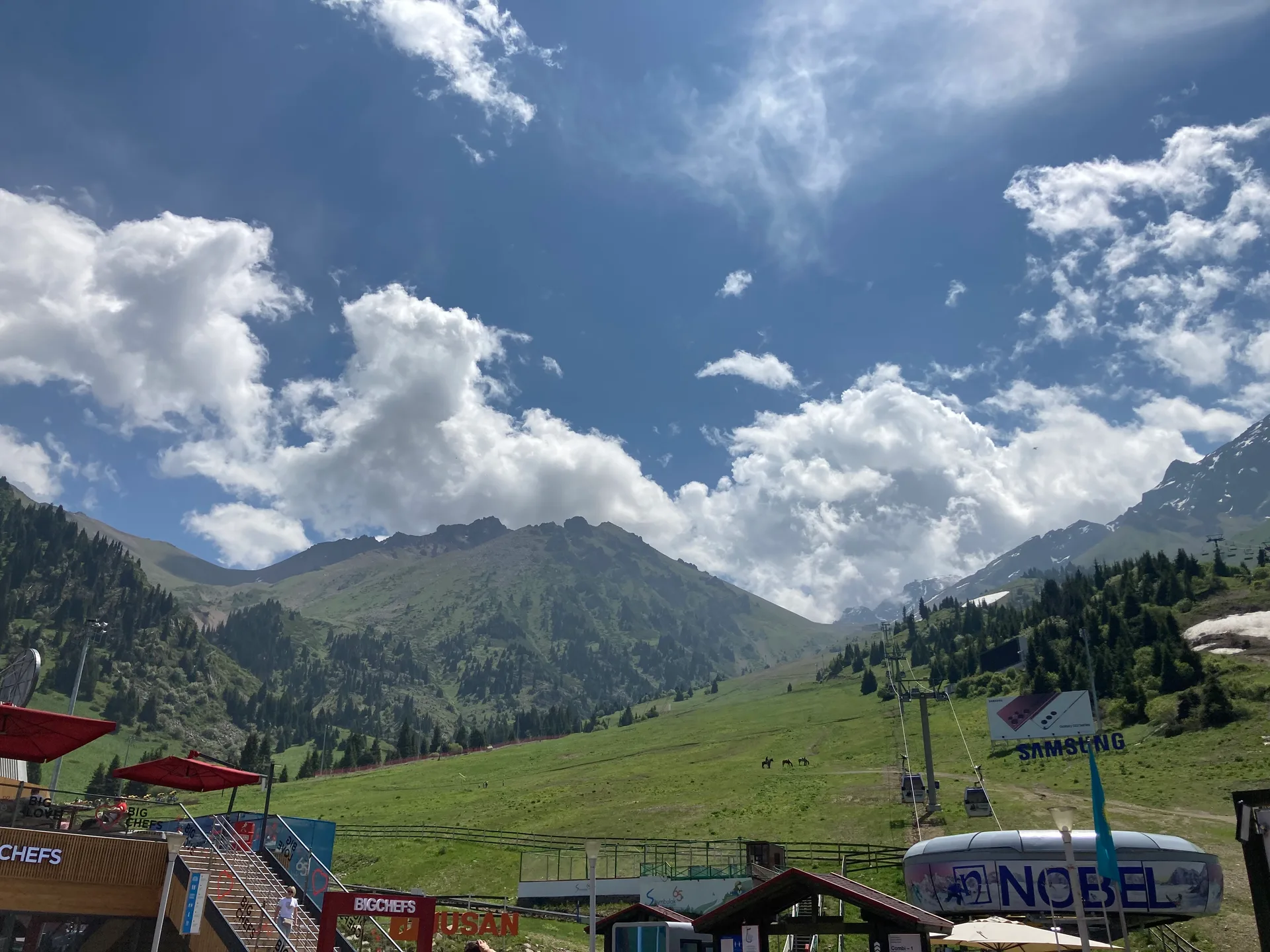
From the Medeu gondola station, 8-person cabins depart for Shymbulak, rising 570 m over 4.5 km in roughly 15–20 minutes. The resort base sits at 2,260 m among open alpine meadows that in summer fill with wildflowers. In winter the resort operates 20 km of pisted runs — green, blue, red, and black — spread across a 1,000 m vertical. Equipment rental, ski school, and several café-restaurants are available at the base. The resort is the largest ski area in Central Asia and drew amateur skiers from the 1940s onward before formal infrastructure arrived.
Viewing visit notes for Tuyuk-Su Glacier
Shymbulak resort base (2,260 m)
Step 3 · 5 km from previous · 20 min drive
From Medeu the gondola climbs 570 m over 4.5 km in 15–20 minutes to the Shymbulak ski resort base at 2,260 m. This is the trailhead for the Tuyuk-Su hike. The resort's ski infrastructure — lifts, restaurant terraces, alpine meadows — marks the boundary between the road-accessible zone and the national park interior. Fill water bottles here if not already full: the next reliable water source is the Malaya Almatinka river below the Mynzhylki dam, not higher. The trail to Mynzhylki begins south of the main resort buildings and follows a maintained dirt road. A park entry checkpoint is located along this initial section.