Overview
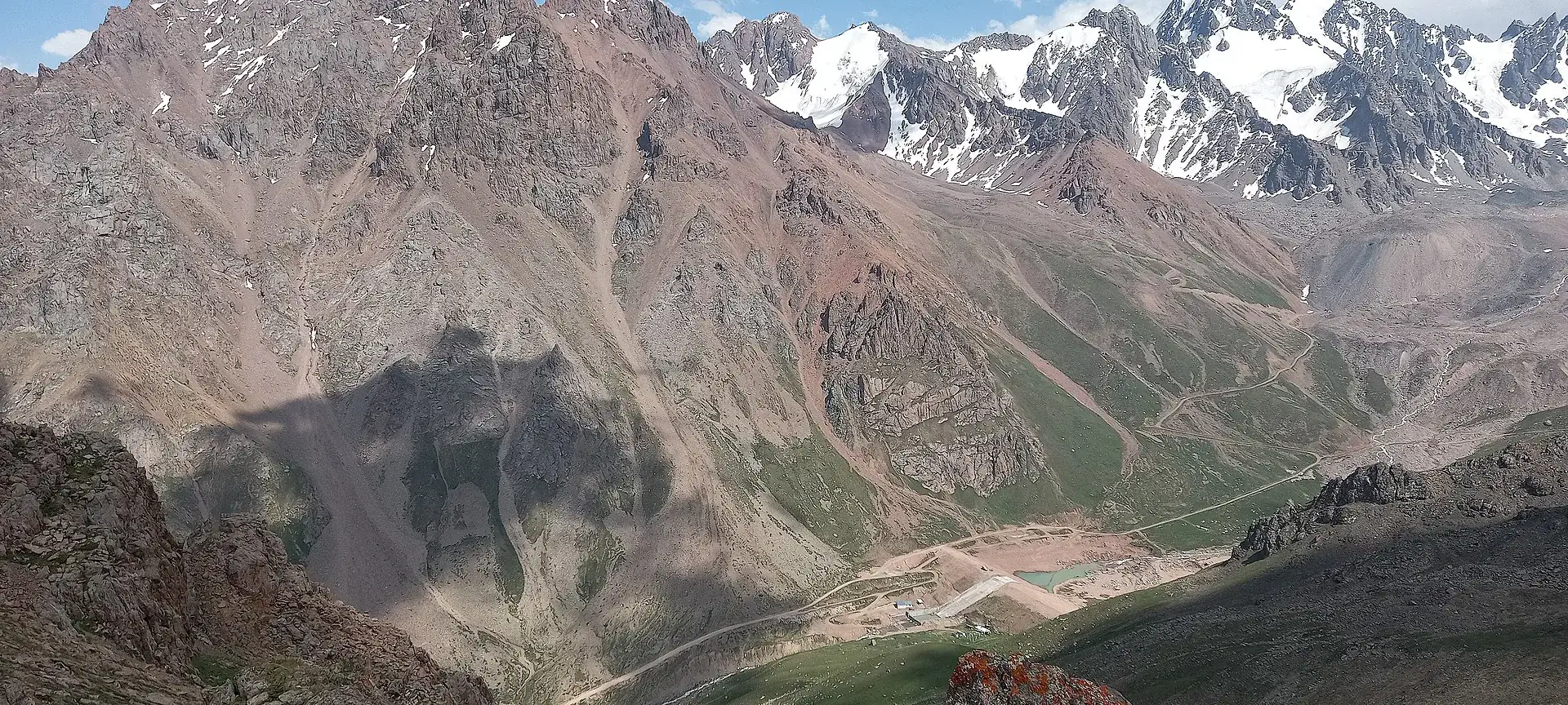
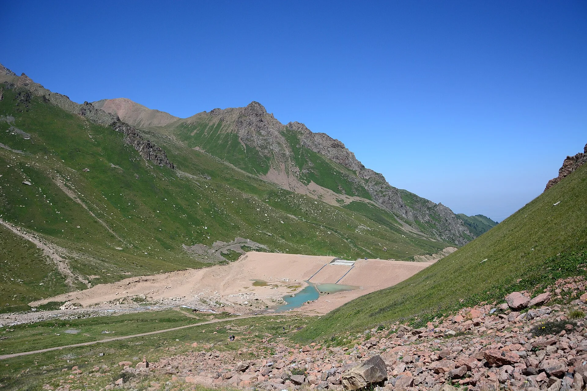
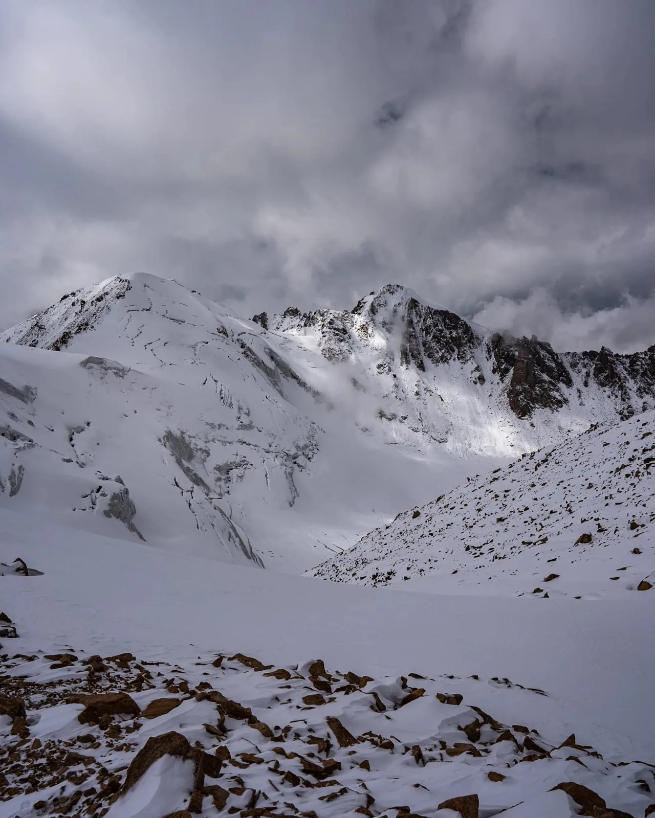
The gorge opens abruptly onto the Mynzhylki plateau at 3,000 m — a wide, flat alpine valley whose Kazakh name means 'a thousand mares,' reflecting its historical use as high-altitude pasture. A 300-metre concrete anti-mudflow dam crosses the valley; the Mynzhylki hydrometeorological station behind it has operated continuously since 1936, making it one of the oldest high-altitude weather stations in Central Asia. From here the Tuyuksu glacier is visible upvalley as a grey-white mass between rocky ridges. The total altitude gain from Shymbulak to this point is 730 m over approximately 7 km and takes 2–2.5 hours of walking. The terrain above becomes steeper and looser.
Open Mynzhylki Plateau And Dam 3 000 M in maps
Choose a map provider for this destination.
These links open only this place, not a full road-trip route. Links open in a new tab. 2GIS opens the map point; start navigation there.
Gallery
Jump to visit notes
Visit notes
Viewing visit notes for Tuyuk-Su Glacier
Mynzhylki plateau and dam (3,000 m)
Step 5 · 5 km from previous · 90 min drive

The gorge opens abruptly onto the Mynzhylki plateau at 3,000 m — a wide, flat alpine valley whose Kazakh name means 'a thousand mares,' reflecting its historical use as high-altitude pasture. A 300-metre concrete anti-mudflow dam crosses the valley; the Mynzhylki hydrometeorological station behind it has operated continuously since 1936, making it one of the oldest high-altitude weather stations in Central Asia. From here the Tuyuksu glacier is visible upvalley as a grey-white mass between rocky ridges. The total altitude gain from Shymbulak to this point is 730 m over approximately 7 km and takes 2–2.5 hours of walking. The terrain above becomes steeper and looser.