
Overview
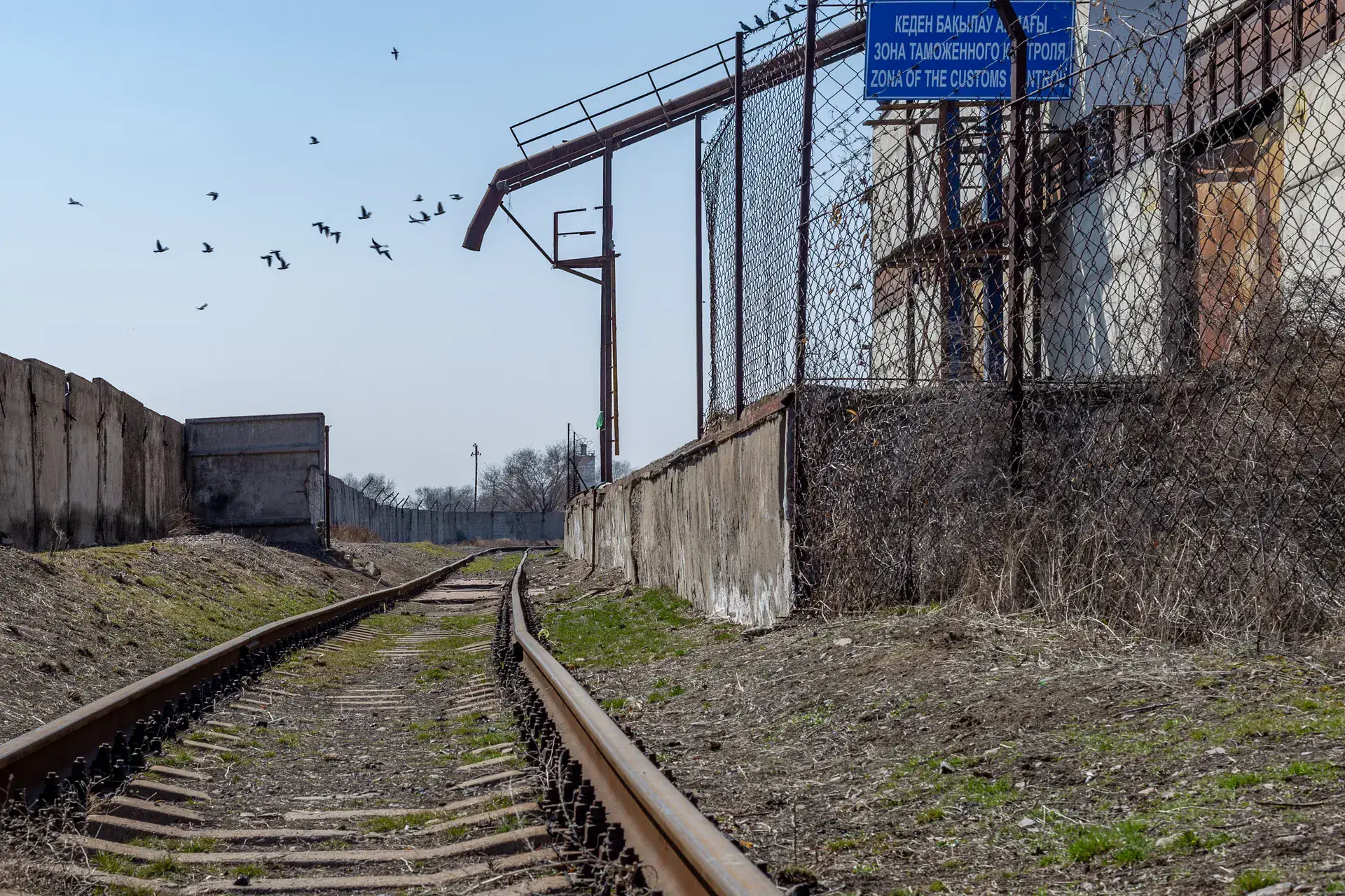
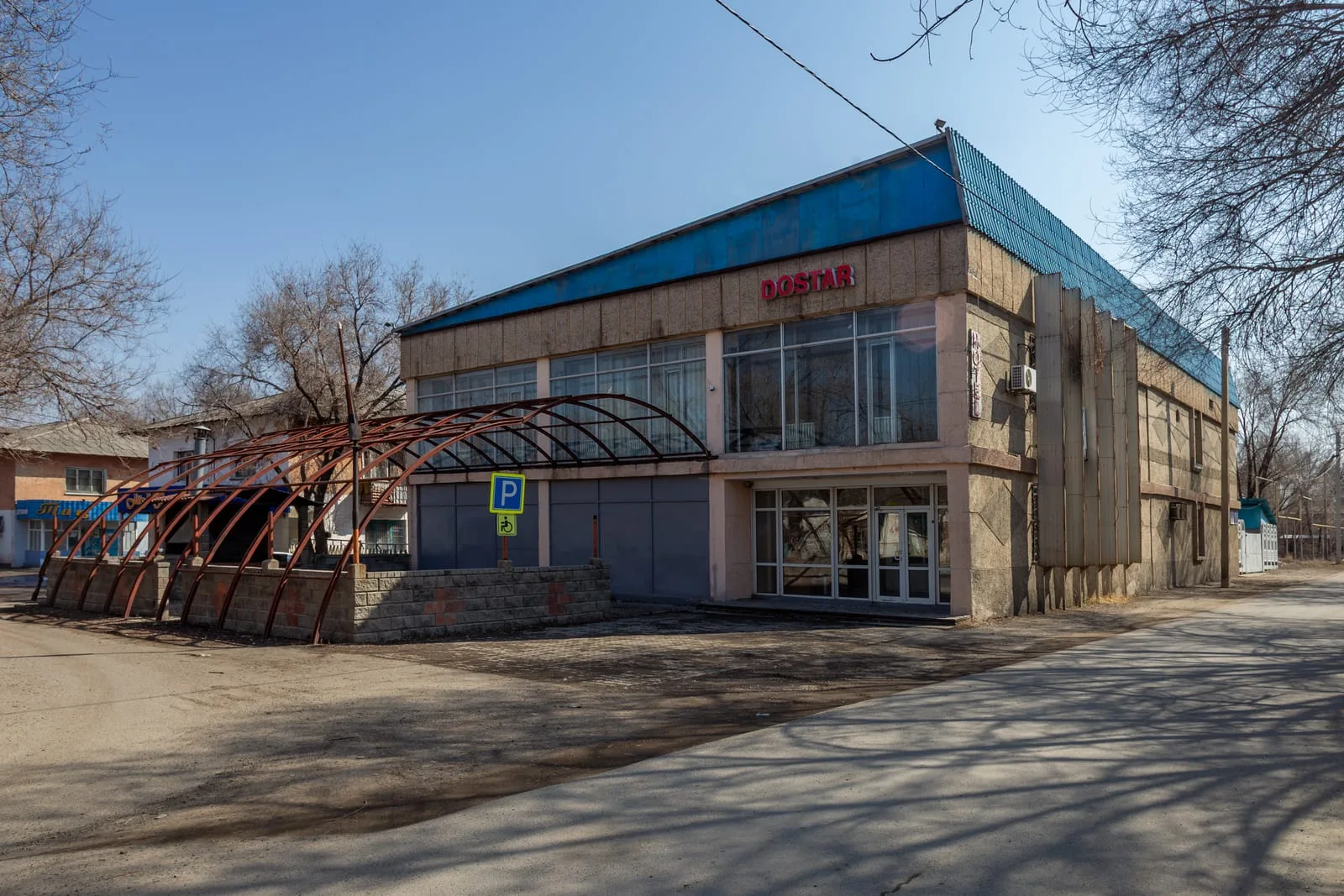
Ushtobe is a compact railway town of roughly 25,000 residents in Karatal District. The A3 enters from the southwest, passing the grain elevator and railway junction that made this the deportation terminus in 1937 — the trains could go no further east on the existing track network. The town centre is laid out on a Soviet grid: Abylai Khan Street runs east–west as the main commercial axis; the bus station (a Soviet modernist block) marks the central junction. Orientation is straightforward. The Kazakhstan–Korea Friendship Park on Bastobe Hill is visible from the southern approach — a low ridge with a flagpole and the upper memorial stele. Park the car in the town centre and plan the day around the two main sites: Bastobe Hill and the Karatal Korean History Center. Both are within 1.5 km of each other.
Open Ushtobe Town in maps
Choose a map provider for this destination.
These links open only this place, not a full road-trip route. Links open in a new tab. 2GIS opens the map point; start navigation there.
Gallery
.jpg)
Jump to visit notes
Visit notes
Viewing visit notes for Ushtobe — Koryo-saram Memorial
Ushtobe — Town Arrival
Step 4 · 44 km from previous · 35 min drive
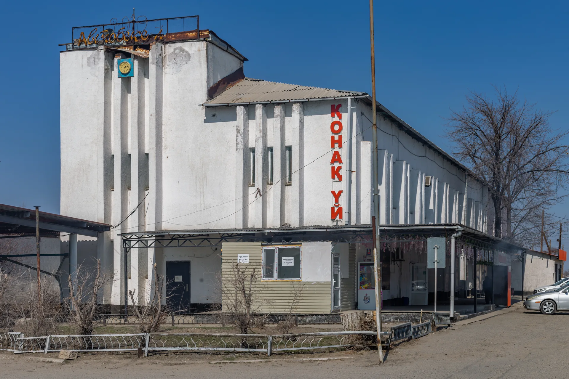
Ushtobe is a compact railway town of roughly 25,000 residents in Karatal District. The A3 enters from the southwest, passing the grain elevator and railway junction that made this the deportation terminus in 1937 — the trains could go no further east on the existing track network. The town centre is laid out on a Soviet grid: Abylai Khan Street runs east–west as the main commercial axis; the bus station (a Soviet modernist block) marks the central junction. Orientation is straightforward. The Kazakhstan–Korea Friendship Park on Bastobe Hill is visible from the southern approach — a low ridge with a flagpole and the upper memorial stele. Park the car in the town centre and plan the day around the two main sites: Bastobe Hill and the Karatal Korean History Center. Both are within 1.5 km of each other.