Overview
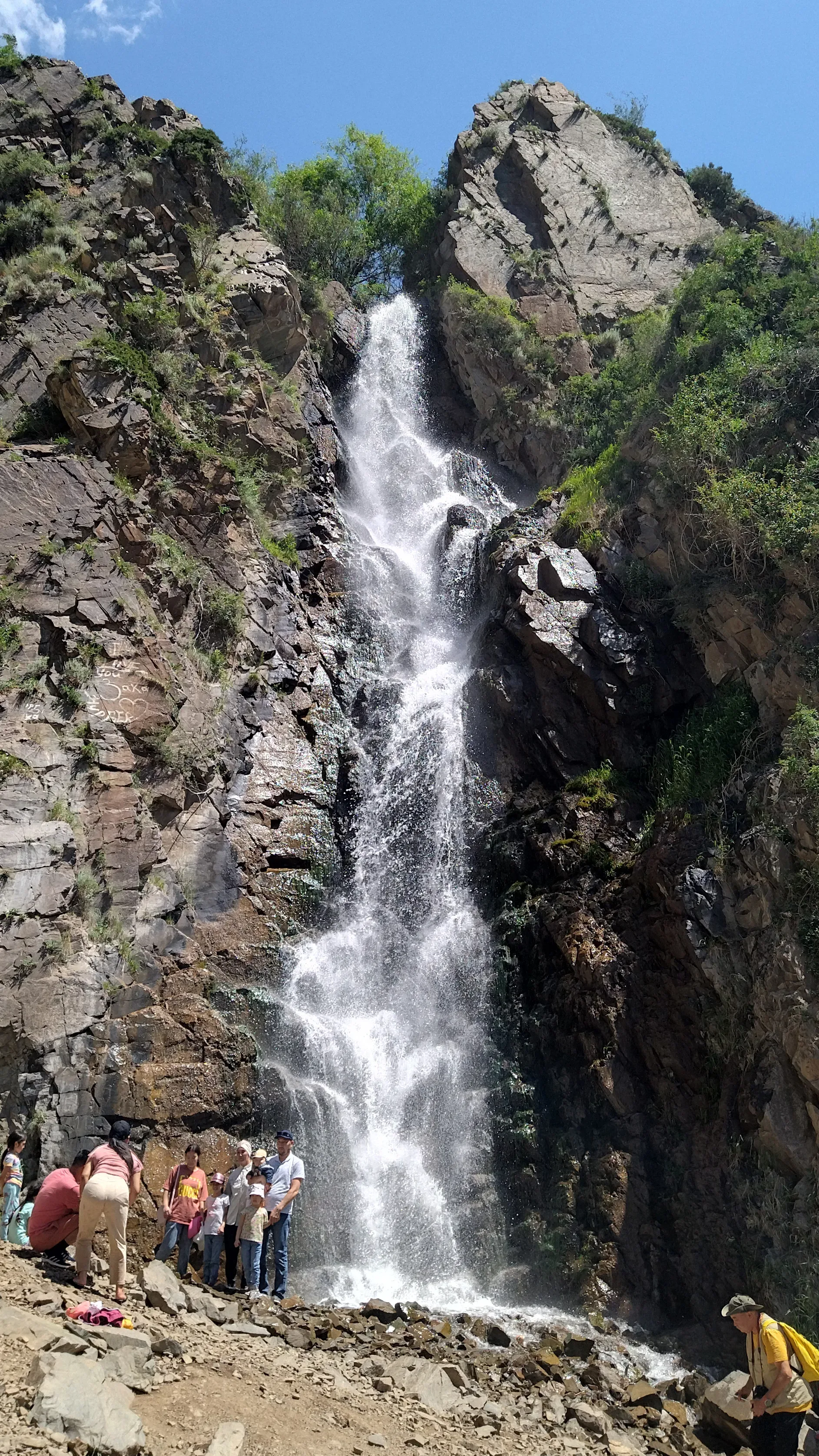
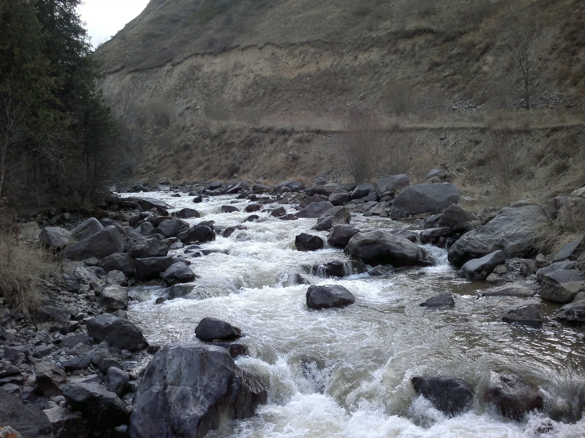
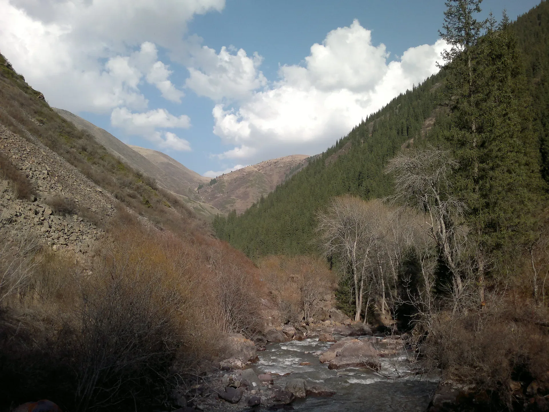
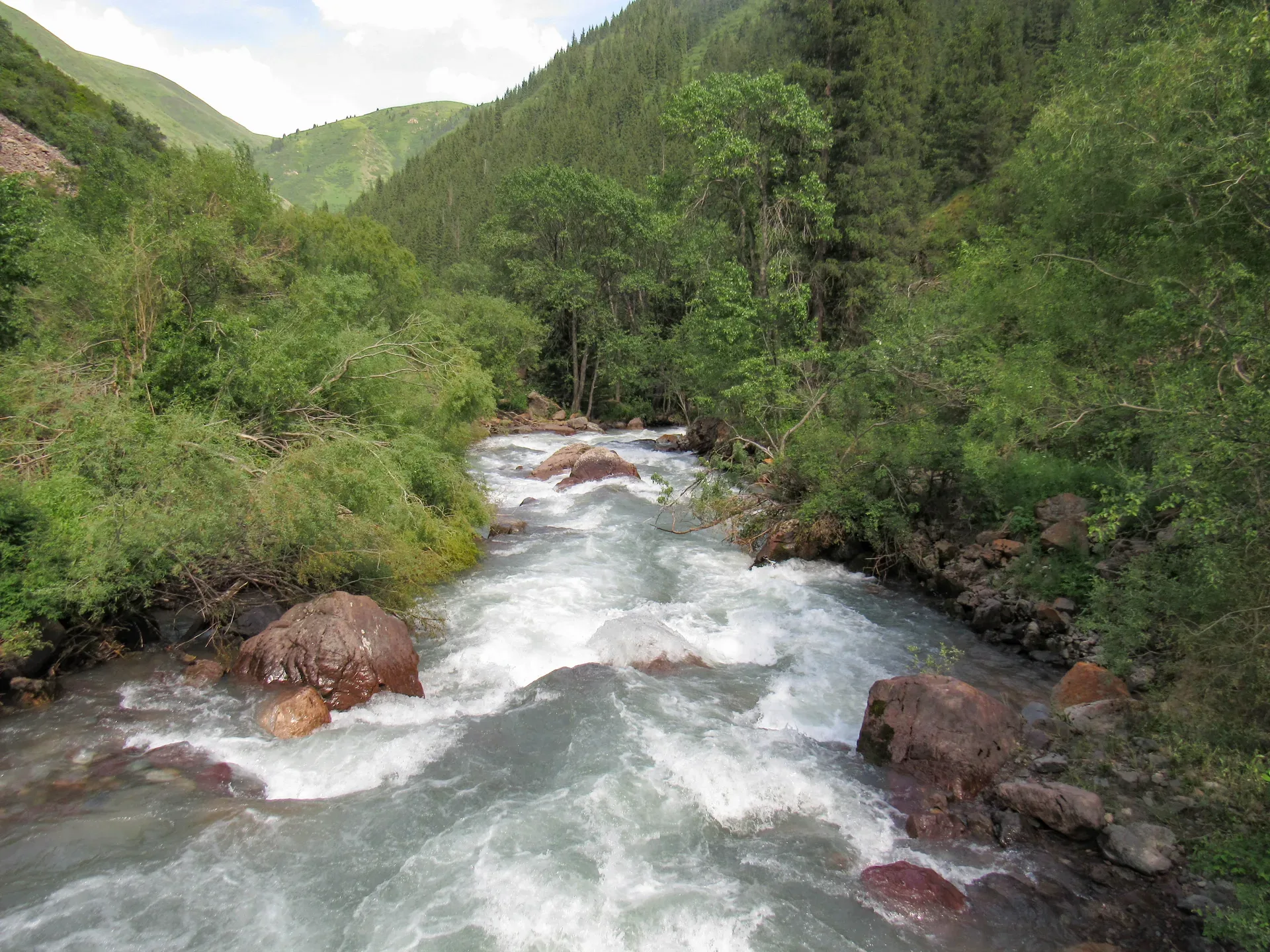
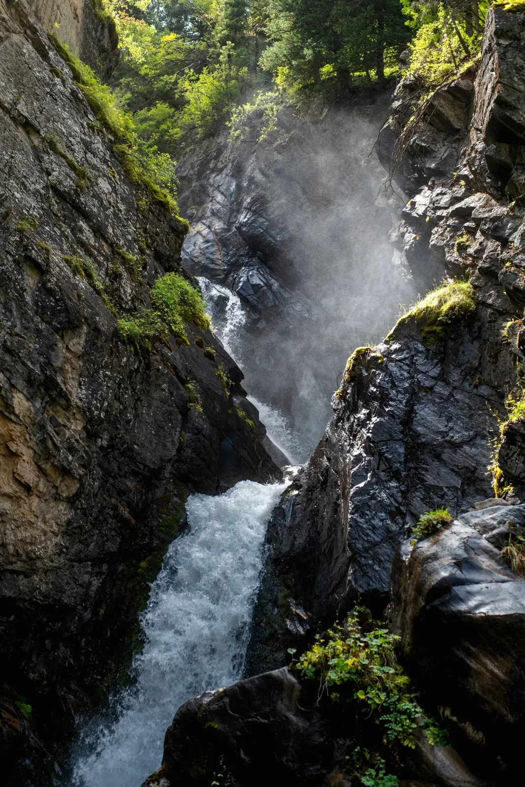
The Turgen Gorge runs roughly 30 km from the national park gate up to the Asy Pass. The gorge walls tighten around dense pine forest and a series of waterfalls — Bear Falls (Medvezhiy), at 28–30 m, is the most visited. The road deteriorates quickly past the gate: packed earth, loose gravel, and the first of several shallow river crossings appear within a few kilometres. Keep momentum on the rocky sections but go slowly at fords to check depth. Altitude here ranges from 1300 m at the gate to 2600 m at the pass.
Open Turgen Gorge in maps
Choose a map provider for this destination.
These links open only this place, not a full road-trip route. Links open in a new tab. 2GIS opens the map point; start navigation there.
Nearby planning from Turgen Gorge
Turgen Gorge planning works best by choosing specific waterfall, road-condition, and entry-check stops rather than treating the gorge as one walk.
Nearby from Turgen Gorge
Park Ecopost And Trout Farm — The Ile-Alatau National Park ecopost is located roughly 10 km into the gorge from the main road junction.
- Mode
- Drive
- Approx. time
- 30 min
- Approx. distance
- 12 km
- Kind
- trailhead
Use this lower stop for entry checks, food, and deciding whether the upper gorge is sensible.
Medvezhiy Bear Waterfall — Bear Waterfall is the easiest and most-visited waterfall in the gorge.
- Mode
- Drive
- Approx. time
- 25 min
- Approx. distance
- 8 km
- Kind
- natural feature
The shorter waterfall choice when time or road condition makes Kairak too much.
Batan Trailhead Kairak Waterfall — Batan is a small settlement at the confluence of the Turgen and Batan rivers, approximately 83 km from Almaty.
- Mode
- Drive
- Approx. time
- 55 min
- Approx. distance
- 21 km
- Kind
- trailhead
The upper start for the long Kairak forest day; check road condition before continuing.
Gallery
.jpg)
.jpg)
.jpg)
Jump to visit notes
Visit notes
Viewing visit notes for Assy Plateau
Turgen Gorge
Step 2 · 80 km from previous · 120 min drive

The Turgen Gorge runs roughly 30 km from the national park gate up to the Asy Pass. The gorge walls tighten around dense pine forest and a series of waterfalls — Bear Falls (Medvezhiy), at 28–30 m, is the most visited. The road deteriorates quickly past the gate: packed earth, loose gravel, and the first of several shallow river crossings appear within a few kilometres. Keep momentum on the rocky sections but go slowly at fords to check depth. Altitude here ranges from 1300 m at the gate to 2600 m at the pass.