Overview
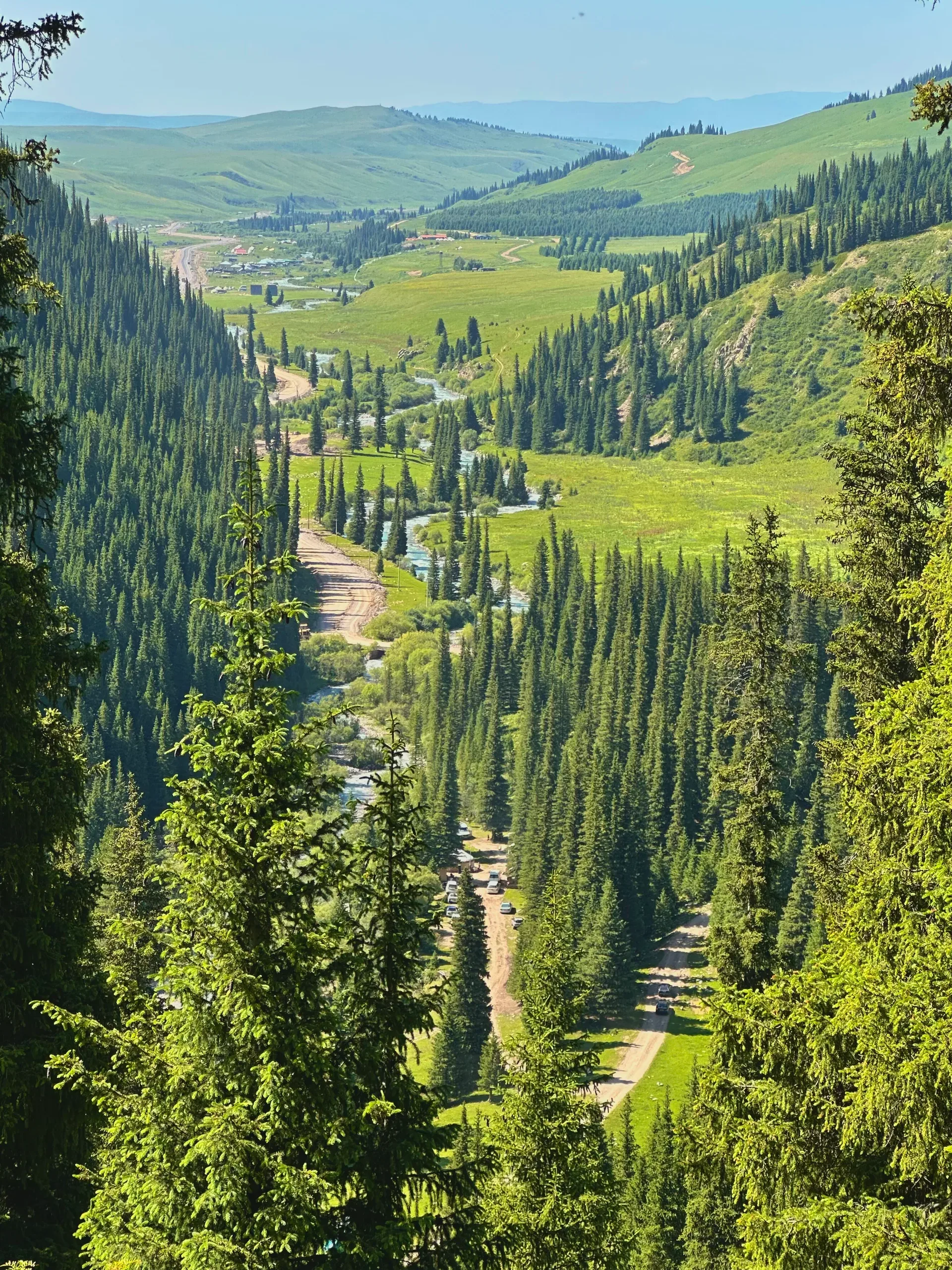
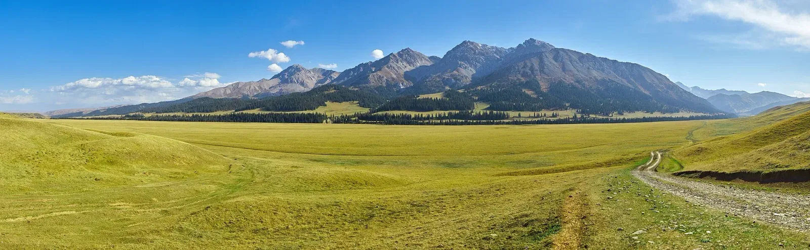
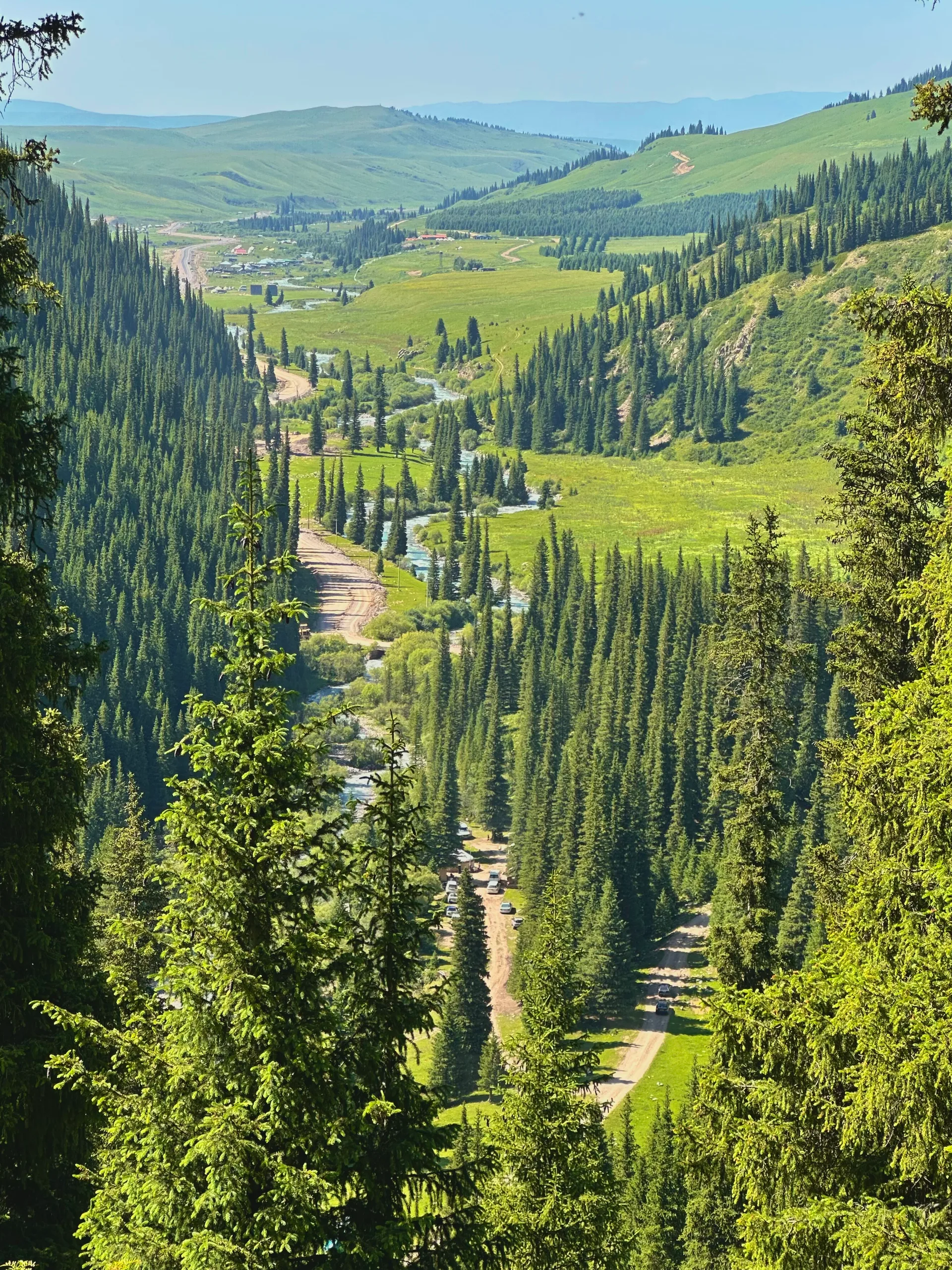
The Tekes River in Kazakhstan flows through a broad intermountain valley roughly 112 km long, at an elevation of 1,700–1,800 m on the valley floor. The river carries clear glacial meltwater from the northern slopes of the Terskey Alatau range and supports a narrow band of willow and sedge vegetation along its banks. The wide valley separates the Eastern Tien Shan from the Ketmen Ridge. The Kyrgyzstan border follows the upper Tekes further east and south, but the valley access points on this route — north of the river near Kegen — are unrestricted. Small herder camps appear along the valley in summer, moving livestock between the valley floor and higher jailau. The river is easily waded in most summer conditions.
Open Tekes Riverbank in maps
Choose a map provider for this destination.
These links open only this place, not a full road-trip route. Links open in a new tab. 2GIS opens the map point; start navigation there.
Gallery

.jpg)
Jump to visit notes
Visit notes
Viewing visit notes for Kegen–Tekes Plateau
Tekes riverbank
Step 5 · 15 km from previous · 30 min drive
The Tekes River in Kazakhstan flows through a broad intermountain valley roughly 112 km long, at an elevation of 1,700–1,800 m on the valley floor. The river carries clear glacial meltwater from the northern slopes of the Terskey Alatau range and supports a narrow band of willow and sedge vegetation along its banks. The wide valley separates the Eastern Tien Shan from the Ketmen Ridge. The Kyrgyzstan border follows the upper Tekes further east and south, but the valley access points on this route — north of the river near Kegen — are unrestricted. Small herder camps appear along the valley in summer, moving livestock between the valley floor and higher jailau. The river is easily waded in most summer conditions.