
Overview
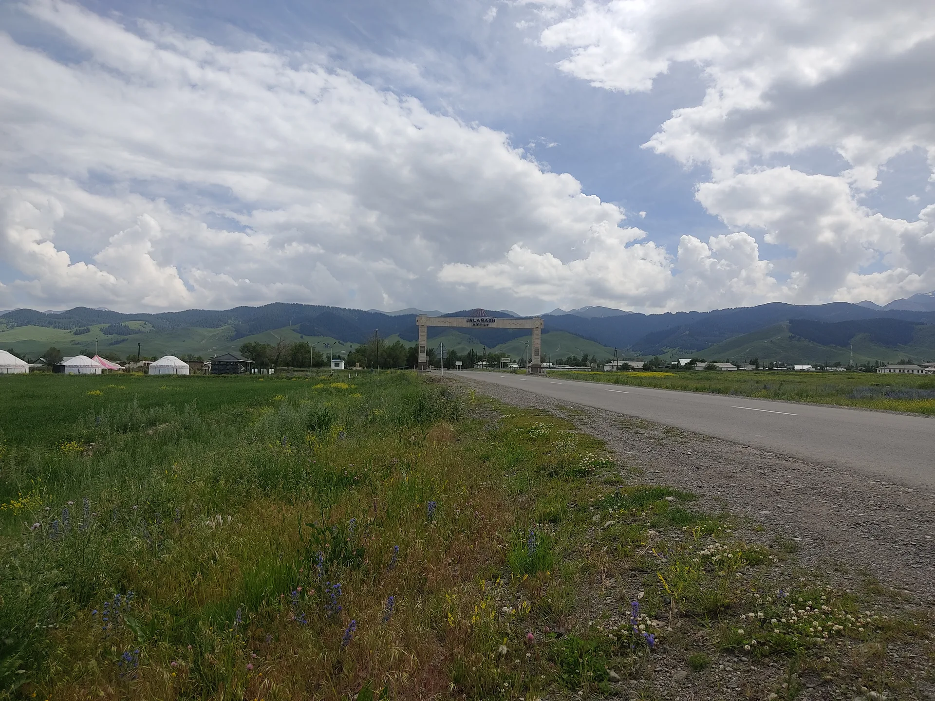
Shelek (the town formerly known as Chilik) sits at the junction where the A351 continues east toward Charyn and a secondary road turns south toward Kegen. The town is at roughly 800 m, surrounded by apple orchards and dry steppe hillsides — the Chilik River valley is fertile enough here for irrigated agriculture before the terrain rises sharply. Fuel stations operate at the main junction. From here, the road south climbs steadily through the Kegen pass area, reaching about 1,945 m before descending into the Kegen basin. Driving time from Shelek to Kegen is about 1.5 hours (roughly 130 km on a road that mixes paved sections with some rough patches).
Open Shelek Chilik A351 Fuel And Rest in maps
Choose a map provider for this destination.
These links open only this place, not a full road-trip route. Links open in a new tab. 2GIS opens the map point; start navigation there.
Gallery
_(28754128301).jpg)
_(28754130621).jpg)
Jump to visit notes
Visit notes
Viewing visit notes for Kegen–Tekes Plateau
Shelek (Chilik) — A351 fuel and rest
Step 2 · 120 km from previous · 90 min drive
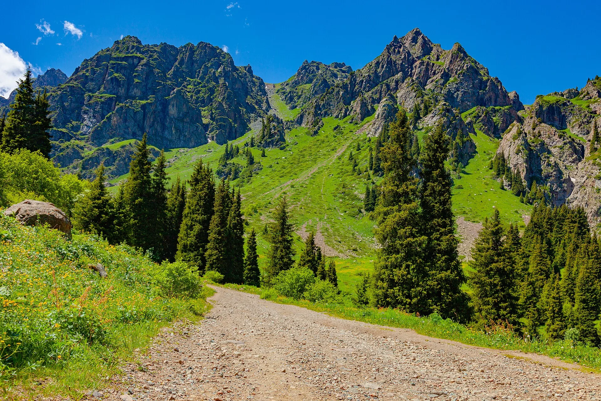
Shelek (the town formerly known as Chilik) sits at the junction where the A351 continues east toward Charyn and a secondary road turns south toward Kegen. The town is at roughly 800 m, surrounded by apple orchards and dry steppe hillsides — the Chilik River valley is fertile enough here for irrigated agriculture before the terrain rises sharply. Fuel stations operate at the main junction. From here, the road south climbs steadily through the Kegen pass area, reaching about 1,945 m before descending into the Kegen basin. Driving time from Shelek to Kegen is about 1.5 hours (roughly 130 km on a road that mixes paved sections with some rough patches).