Overview
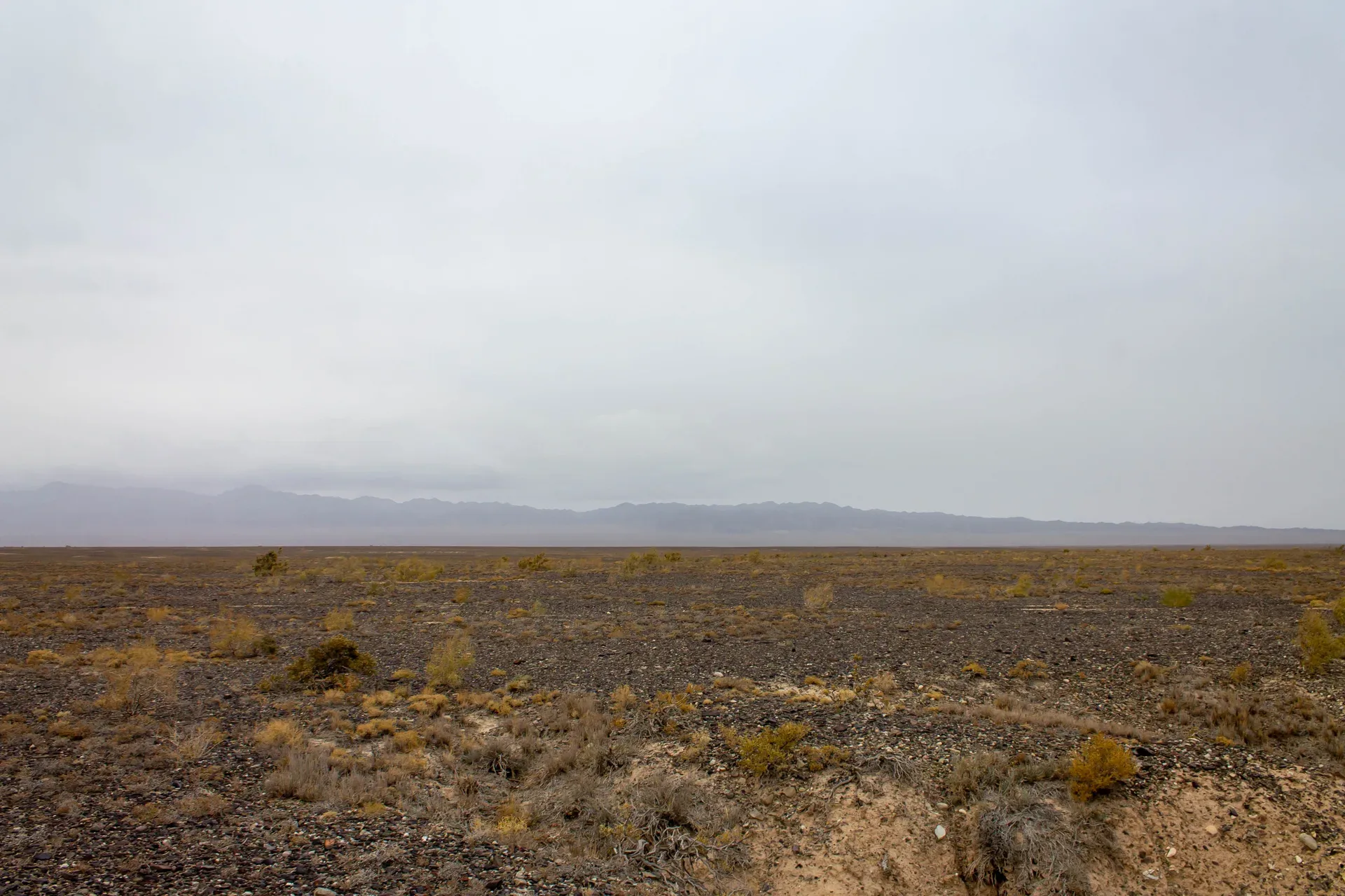
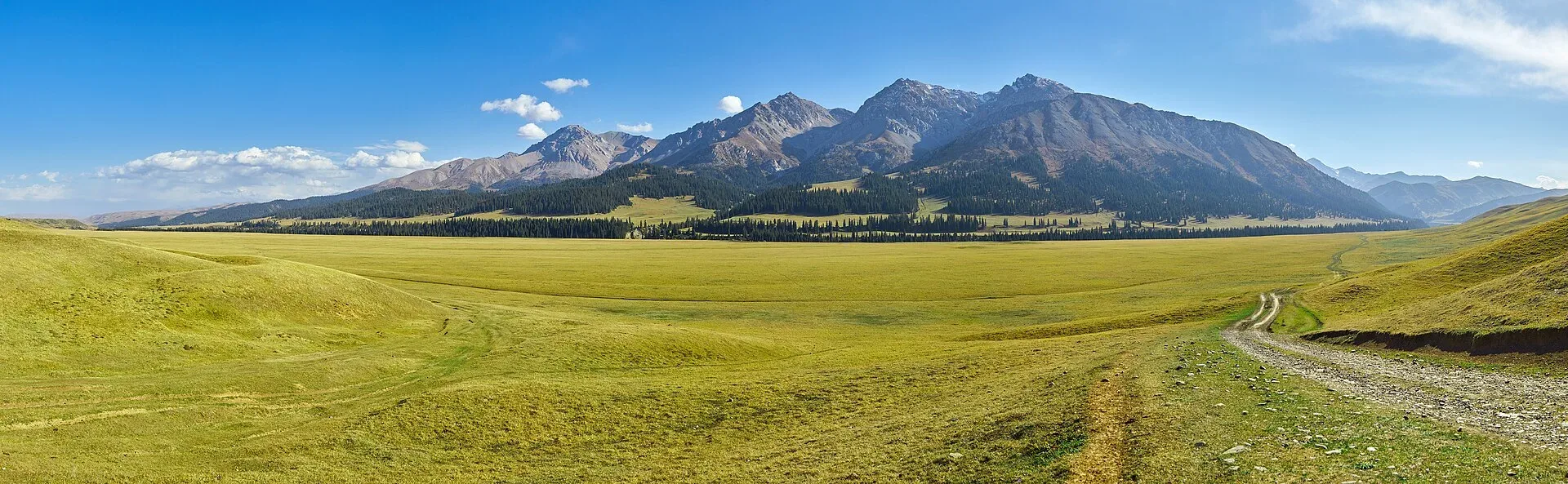
From Kegen, graded dirt tracks lead south roughly 30 km to the plateau rim, climbing from the 1,800 m valley floor to about 2,000 m. The character of the terrain changes noticeably: the valley agriculture gives way to open, nearly treeless steppe, with rounded ridgelines and wide saddles of dry grass. From the rim, the Tekes valley floor opens to the southwest — a pale green band of riparian vegetation following the river, flanked by the Kungey Alatau range on the Kyrgyzstan side. On clear days the snowfields of the Terskey Alatau are visible to the southeast. Volcanic dyke intrusions appear as dark linear ridges cutting across the steppe surface — remnants of ancient igneous activity in this section of the Tien Shan system.
Open Plateau Rim Overlook 2 000 M in maps
Choose a map provider for this destination.
These links open only this place, not a full road-trip route. Links open in a new tab. 2GIS opens the map point; start navigation there.
Gallery
.jpg)
_Kazakhstan.JPG)
Jump to visit notes
Visit notes
Viewing visit notes for Kegen–Tekes Plateau
Plateau rim overlook — 2,000 m
Step 4 · 30 km from previous · 50 min drive
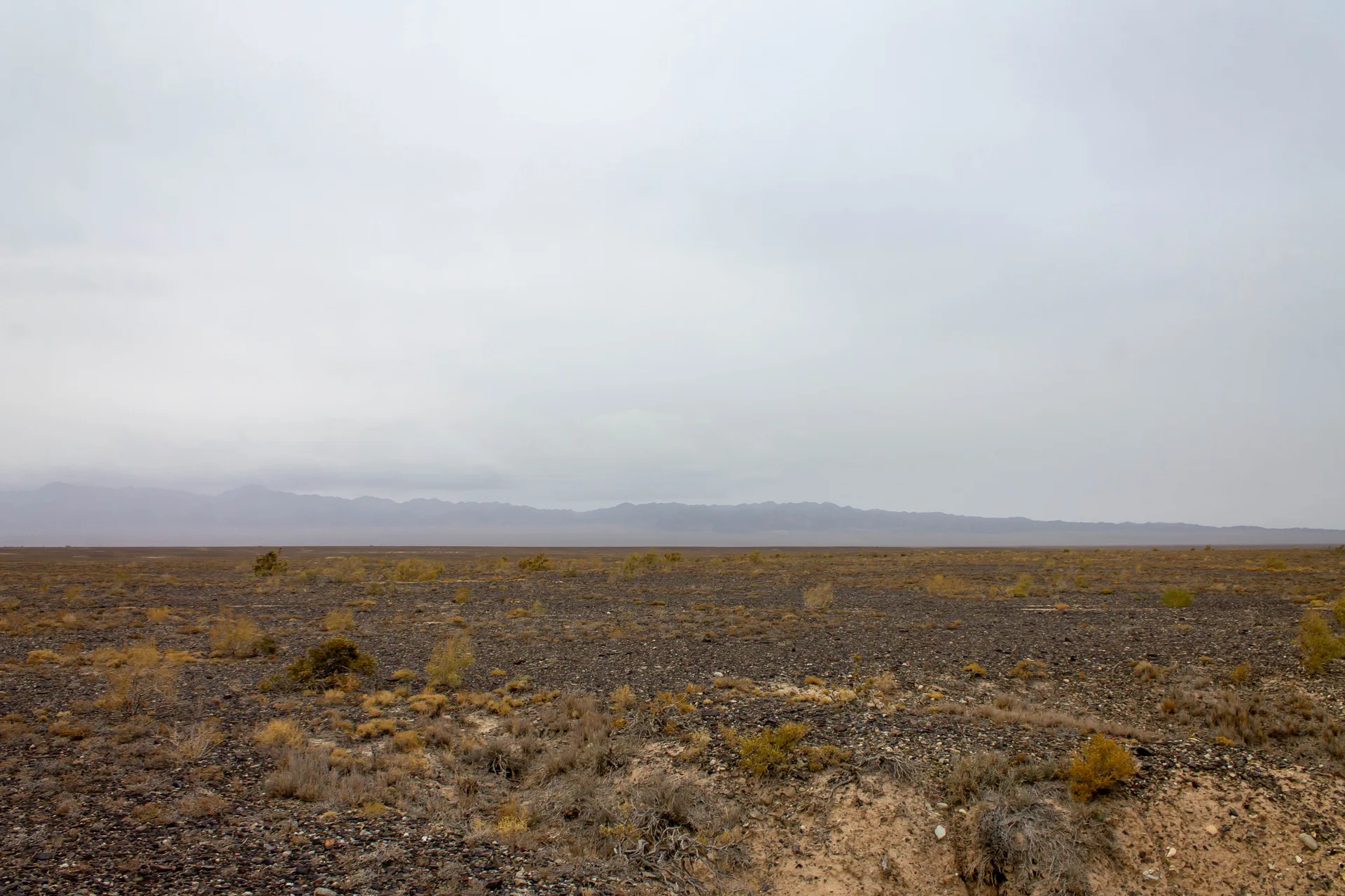
From Kegen, graded dirt tracks lead south roughly 30 km to the plateau rim, climbing from the 1,800 m valley floor to about 2,000 m. The character of the terrain changes noticeably: the valley agriculture gives way to open, nearly treeless steppe, with rounded ridgelines and wide saddles of dry grass. From the rim, the Tekes valley floor opens to the southwest — a pale green band of riparian vegetation following the river, flanked by the Kungey Alatau range on the Kyrgyzstan side. On clear days the snowfields of the Terskey Alatau are visible to the southeast. Volcanic dyke intrusions appear as dark linear ridges cutting across the steppe surface — remnants of ancient igneous activity in this section of the Tien Shan system.