Overview
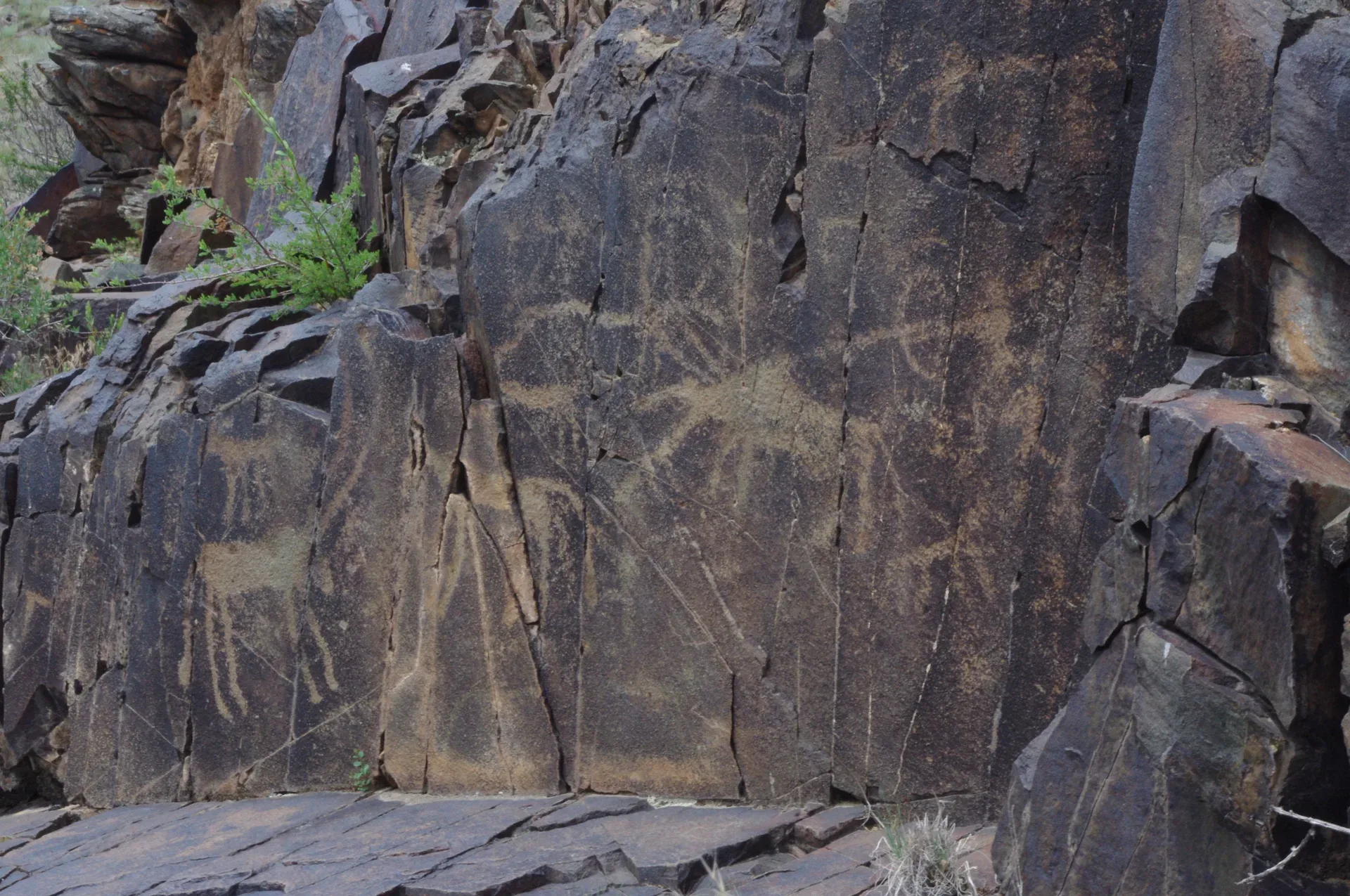
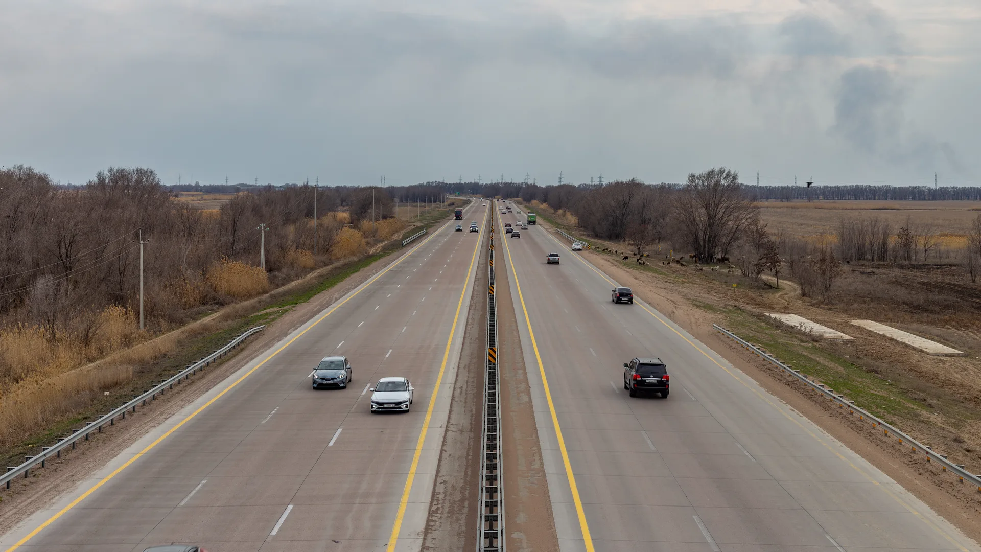
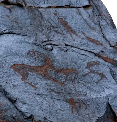
From Tekeli, head south on the unpaved track that follows the right (north) bank of the Koksu River. The track is 20–30 km to the main petroglyph access point and involves several stream crossings and rocky sections through dry river terraces. The Koksu runs milky-blue from glacial sources in the Dzungarian Alatau; the valley floor is narrow with steep gorge walls closing in as you approach the ridge. The track skirts the southern foot of the Eshkiolmes ridge and is passable to high-clearance vehicles in dry conditions. In wet weather or during spring snowmelt (April–May), the Koksu crossings become dangerous and the track turns to deep mud. Allow 1–1.5 hours for the approach drive from Tekeli. Park at a wide section at the ridge base — there is no formal parking area.
Open Off Road Track To Eshkiolmes Ridge Approach in maps
Choose a map provider for this destination.
These links open only this place, not a full road-trip route. Links open in a new tab. 2GIS opens the map point; start navigation there.
Gallery
.jpg)
Jump to visit notes
Visit notes
Viewing visit notes for Eshkiolmes Petroglyphs
Off-road track to Eshkiolmes ridge approach
Step 5 · 25 km from previous · 75 min drive

From Tekeli, head south on the unpaved track that follows the right (north) bank of the Koksu River. The track is 20–30 km to the main petroglyph access point and involves several stream crossings and rocky sections through dry river terraces. The Koksu runs milky-blue from glacial sources in the Dzungarian Alatau; the valley floor is narrow with steep gorge walls closing in as you approach the ridge. The track skirts the southern foot of the Eshkiolmes ridge and is passable to high-clearance vehicles in dry conditions. In wet weather or during spring snowmelt (April–May), the Koksu crossings become dangerous and the track turns to deep mud. Allow 1–1.5 hours for the approach drive from Tekeli. Park at a wide section at the ridge base — there is no formal parking area.