Overview
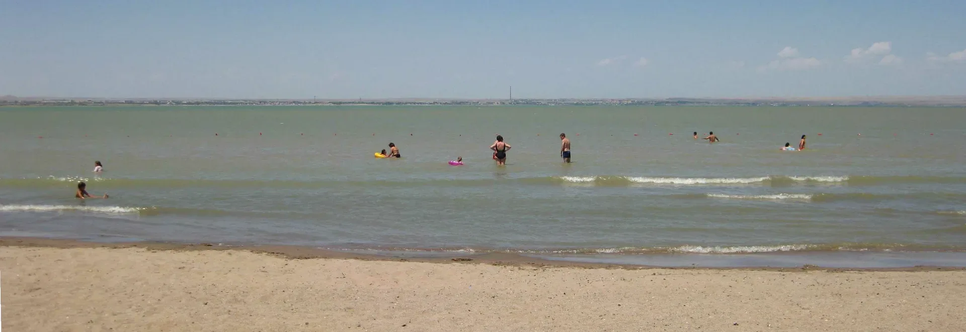
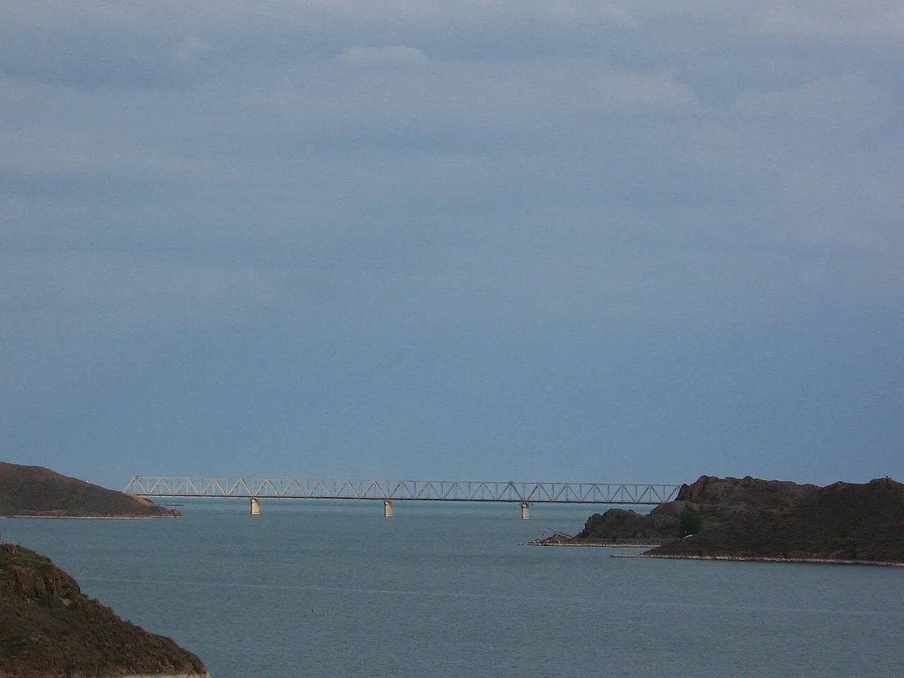
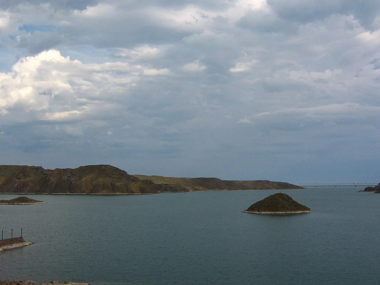
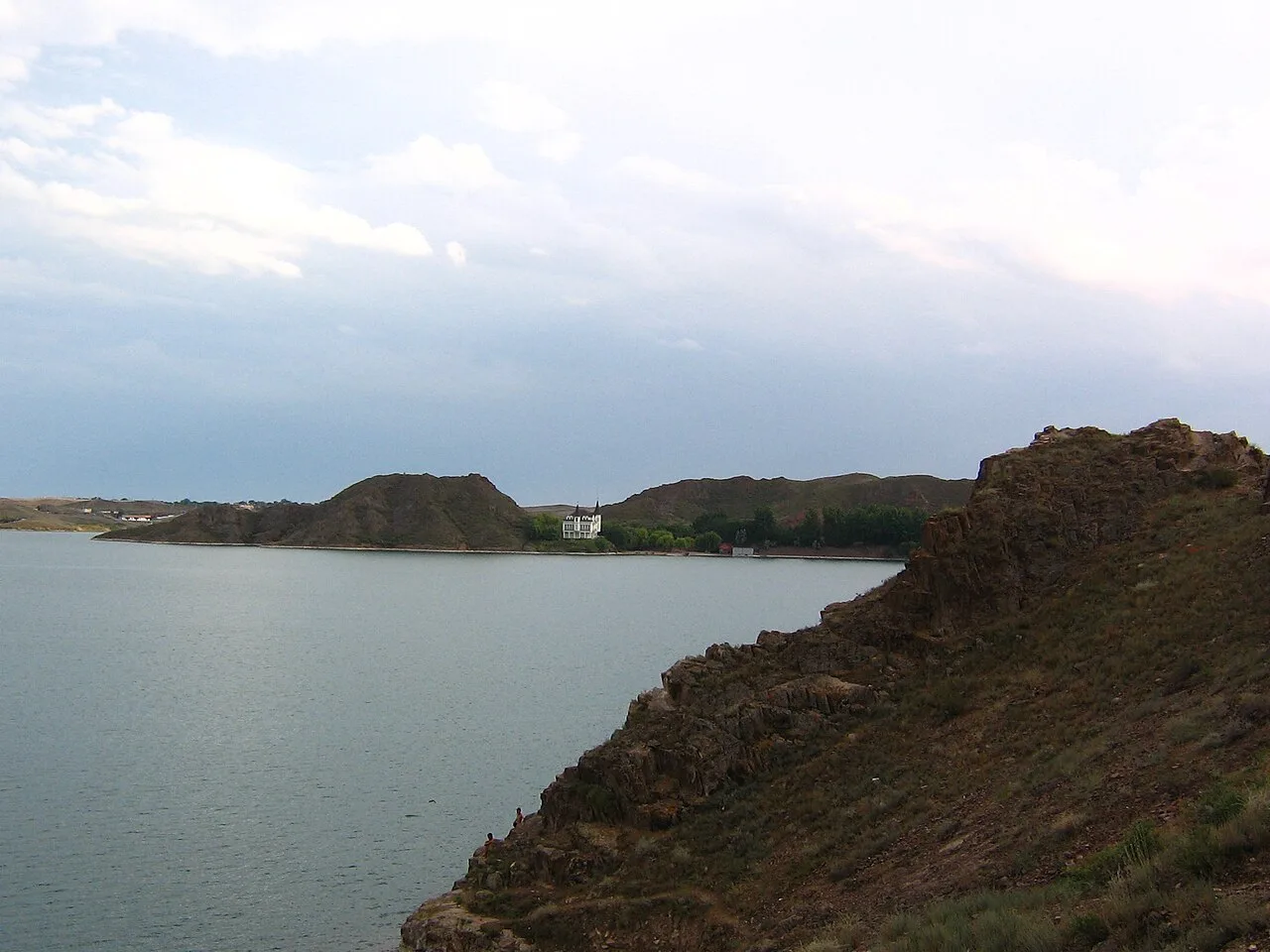
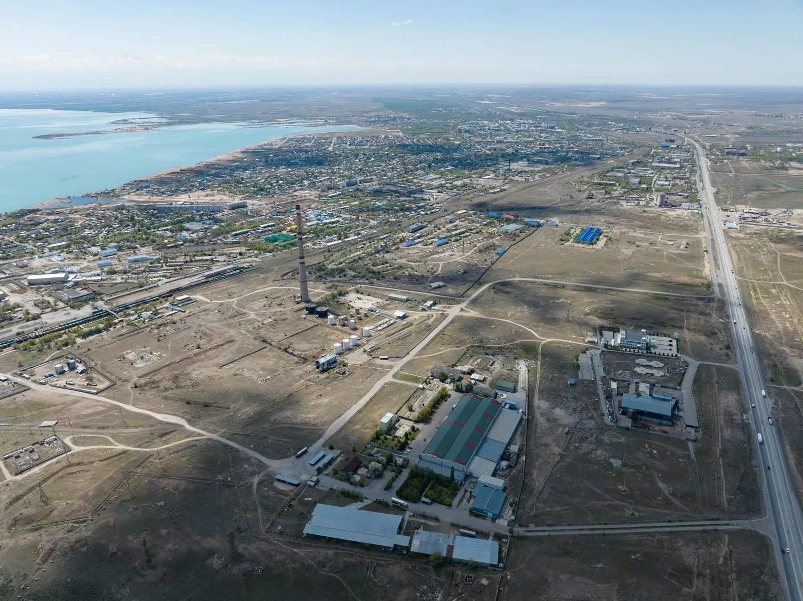
The A-3 crosses the Kapchagai Reservoir via the dam road approximately 70 km northeast of Almaty. The Kapshagay Hydroelectric Power Plant has impounded the Ili River here since 1970, forming a reservoir roughly 100 km long. The crossing takes 10 minutes; the wide flat water and semi-desert shore on both banks mark the transition from the Almaty basin steppe into the open Zhetisu region. Continue northeast on the A-3 after the crossing — do not turn off toward the Kapchagai resort town. The road ahead runs through open steppe with the low ridges of the Malaisary range to the south and flat semi-desert plains to the north.
Open Kapchagai Reservoir Crossing in maps
Choose a map provider for this destination.
These links open only this place, not a full road-trip route. Links open in a new tab. 2GIS opens the map point; start navigation there.
Gallery
.jpg)
.jpg)
.jpg)
Jump to visit notes
Visit notes
Viewing visit notes for Eshkiolmes Petroglyphs
Kapchagai Reservoir crossing
Step 2 · 70 km from previous · 60 min drive

The A-3 crosses the Kapchagai Reservoir via the dam road approximately 70 km northeast of Almaty. The Kapshagay Hydroelectric Power Plant has impounded the Ili River here since 1970, forming a reservoir roughly 100 km long. The crossing takes 10 minutes; the wide flat water and semi-desert shore on both banks mark the transition from the Almaty basin steppe into the open Zhetisu region. Continue northeast on the A-3 after the crossing — do not turn off toward the Kapchagai resort town. The road ahead runs through open steppe with the low ridges of the Malaisary range to the south and flat semi-desert plains to the north.