Overview
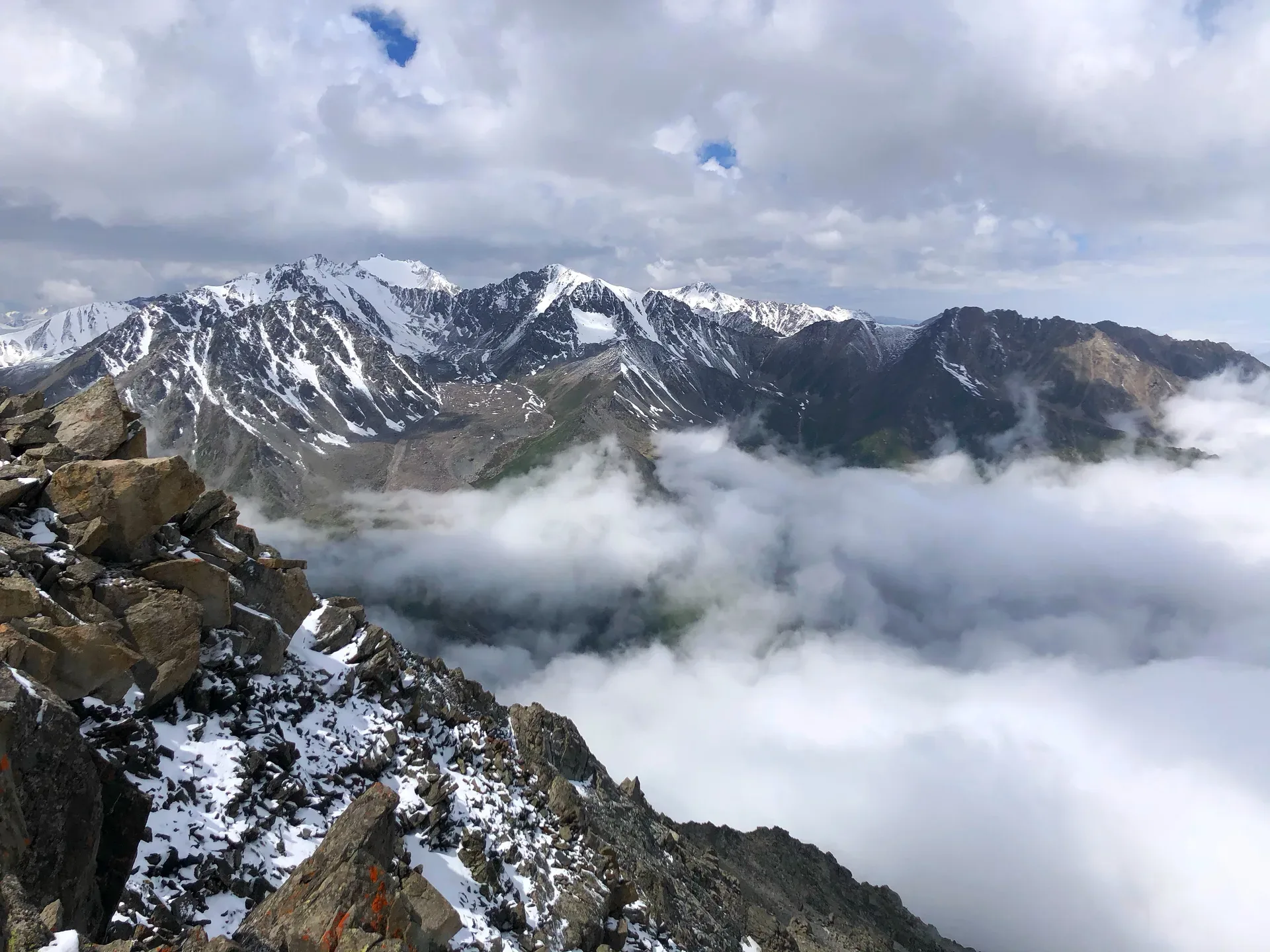
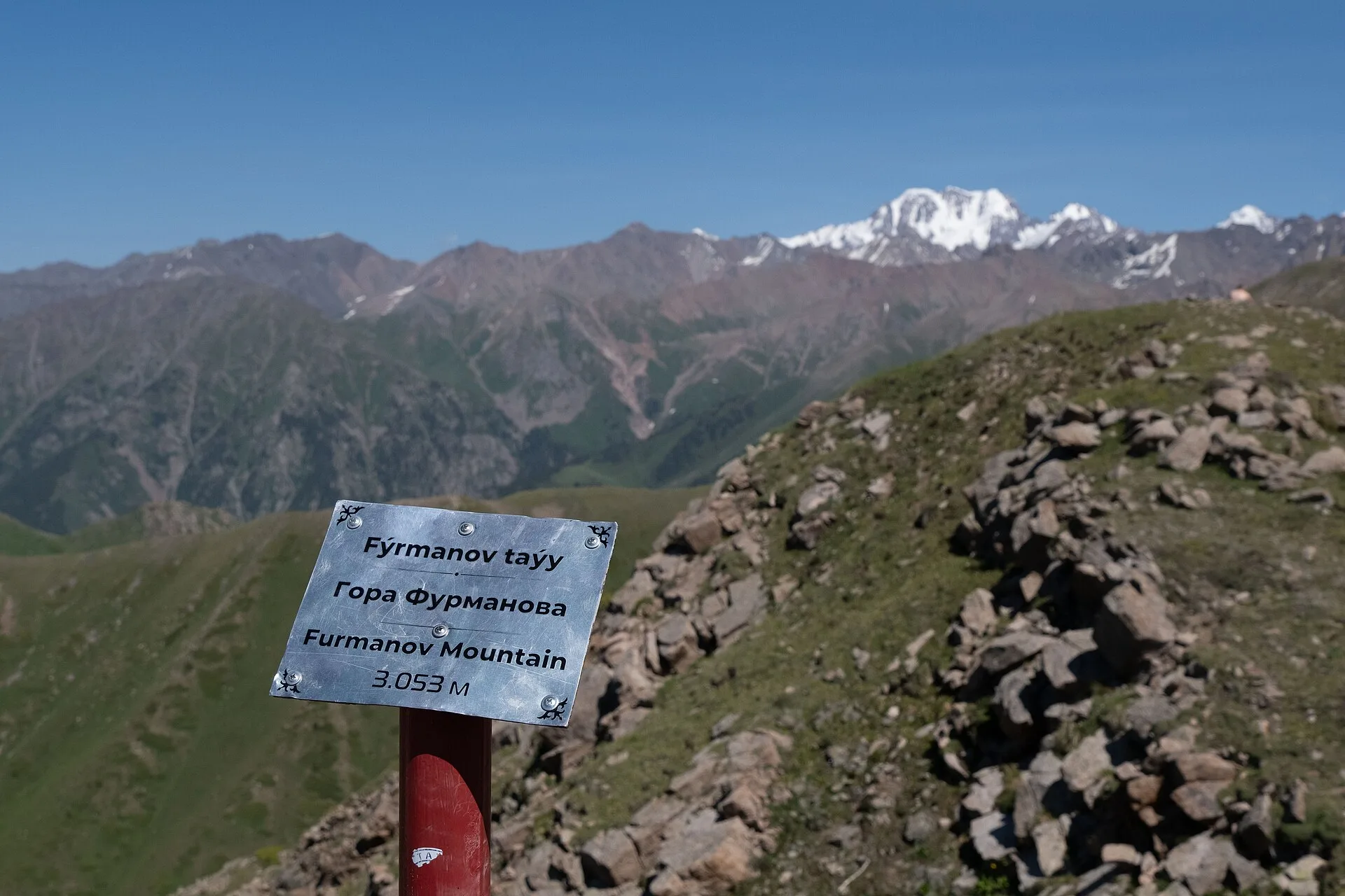
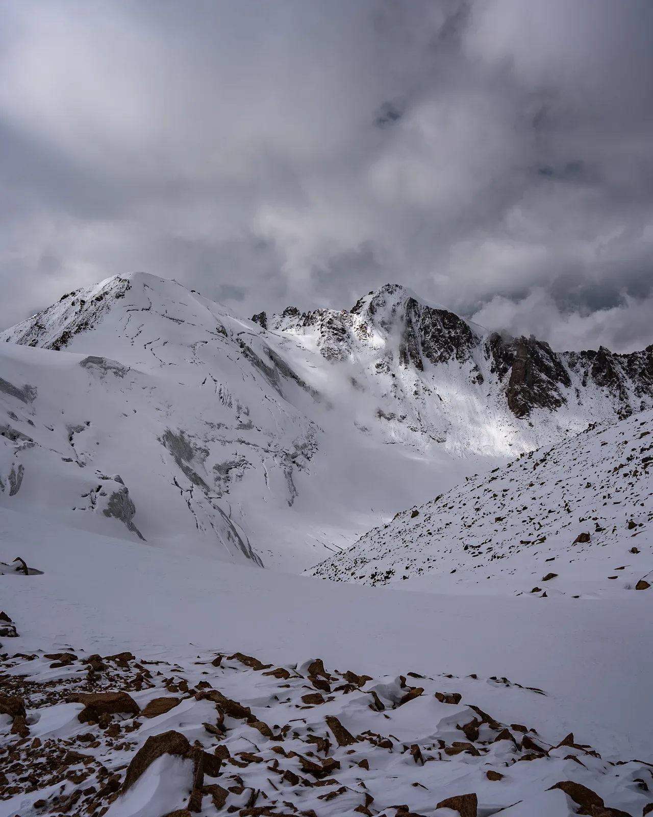
The summit of Furmanov Peak is marked by a small cairn and occasional flagging at 3,053 m. The final 500 m of altitude gain from the swing involves sustained scrambling over boulders; there is no fixed route — follow the ridge crest and pick the most stable footing. The view from the top takes in all of Almaty spread across the steppe to the north, the Ile river valley beyond, and the higher ridges of the Trans-Ili Alatau to the south and east, including the glaciated faces above Big Almaty Lake. On clear days the peaks above Shymbulak's Talgar Pass are visible to the southwest. Allow 20–30 minutes at the summit before beginning the descent, which follows the same route back to Medeu.
Open Furmanov Peak 3 053 M in maps
Choose a map provider for this destination.
These links open only this place, not a full road-trip route. Links open in a new tab. 2GIS opens the map point; start navigation there.
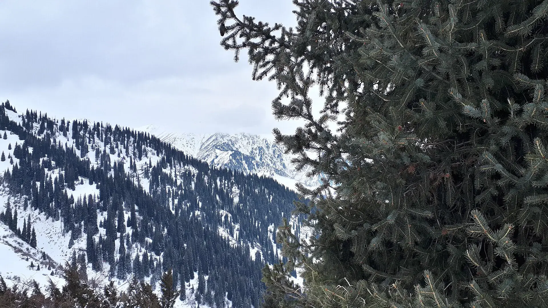
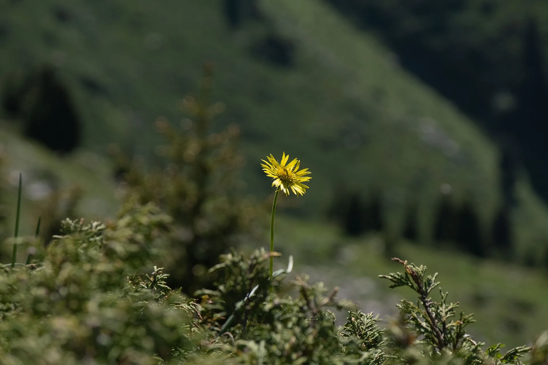
Gallery
Jump to visit notes
Visit notes
Viewing visit notes for Furmanov Peak — Ile-Alatau Day Hike
Furmanov Peak (3,053 m)
Step 4 · 4 km from previous · 0 min drive

The summit of Furmanov Peak is marked by a small cairn and occasional flagging at 3,053 m. The final 500 m of altitude gain from the swing involves sustained scrambling over boulders; there is no fixed route — follow the ridge crest and pick the most stable footing. The view from the top takes in all of Almaty spread across the steppe to the north, the Ile river valley beyond, and the higher ridges of the Trans-Ili Alatau to the south and east, including the glaciated faces above Big Almaty Lake. On clear days the peaks above Shymbulak's Talgar Pass are visible to the southwest. Allow 20–30 minutes at the summit before beginning the descent, which follows the same route back to Medeu.