Overview
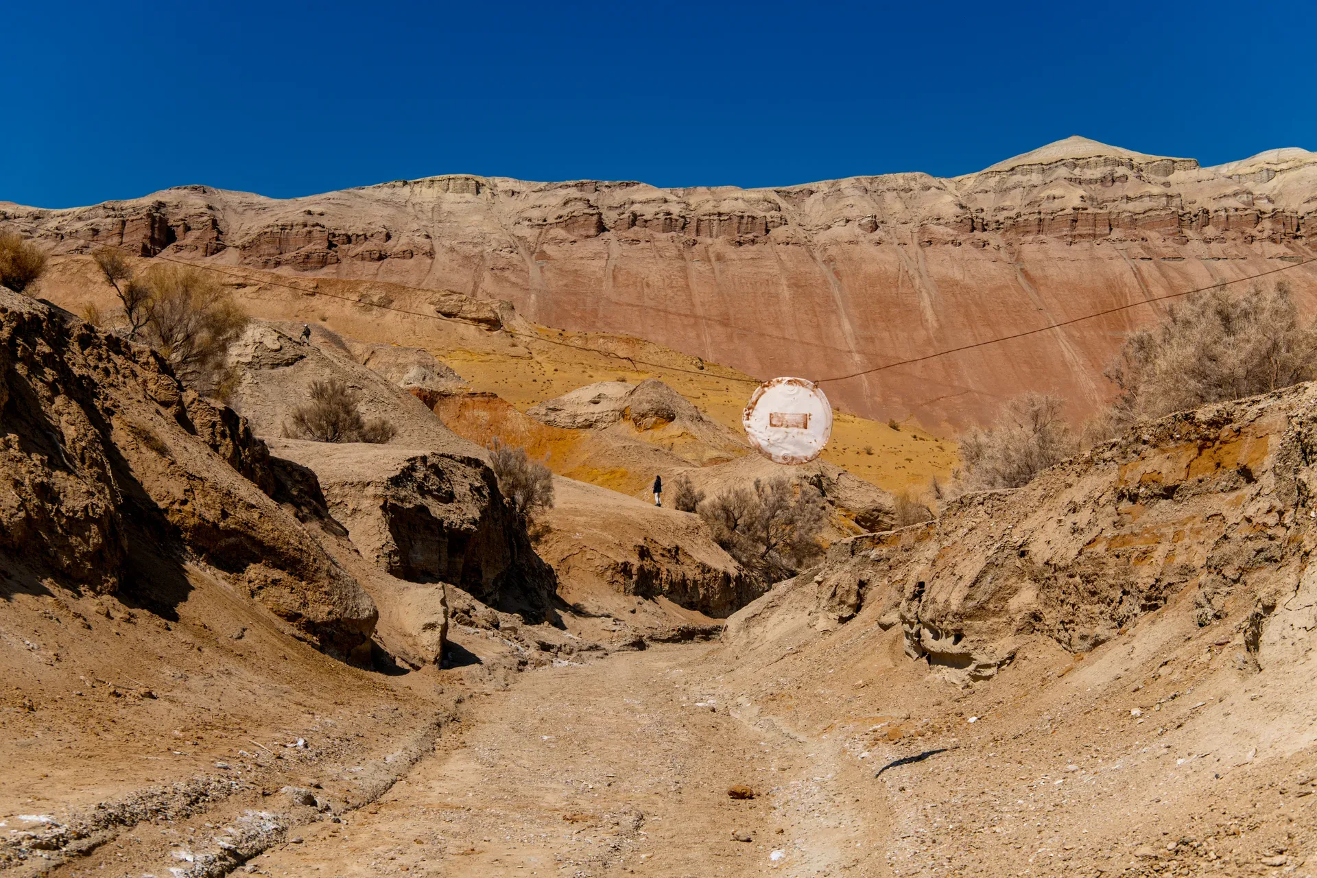
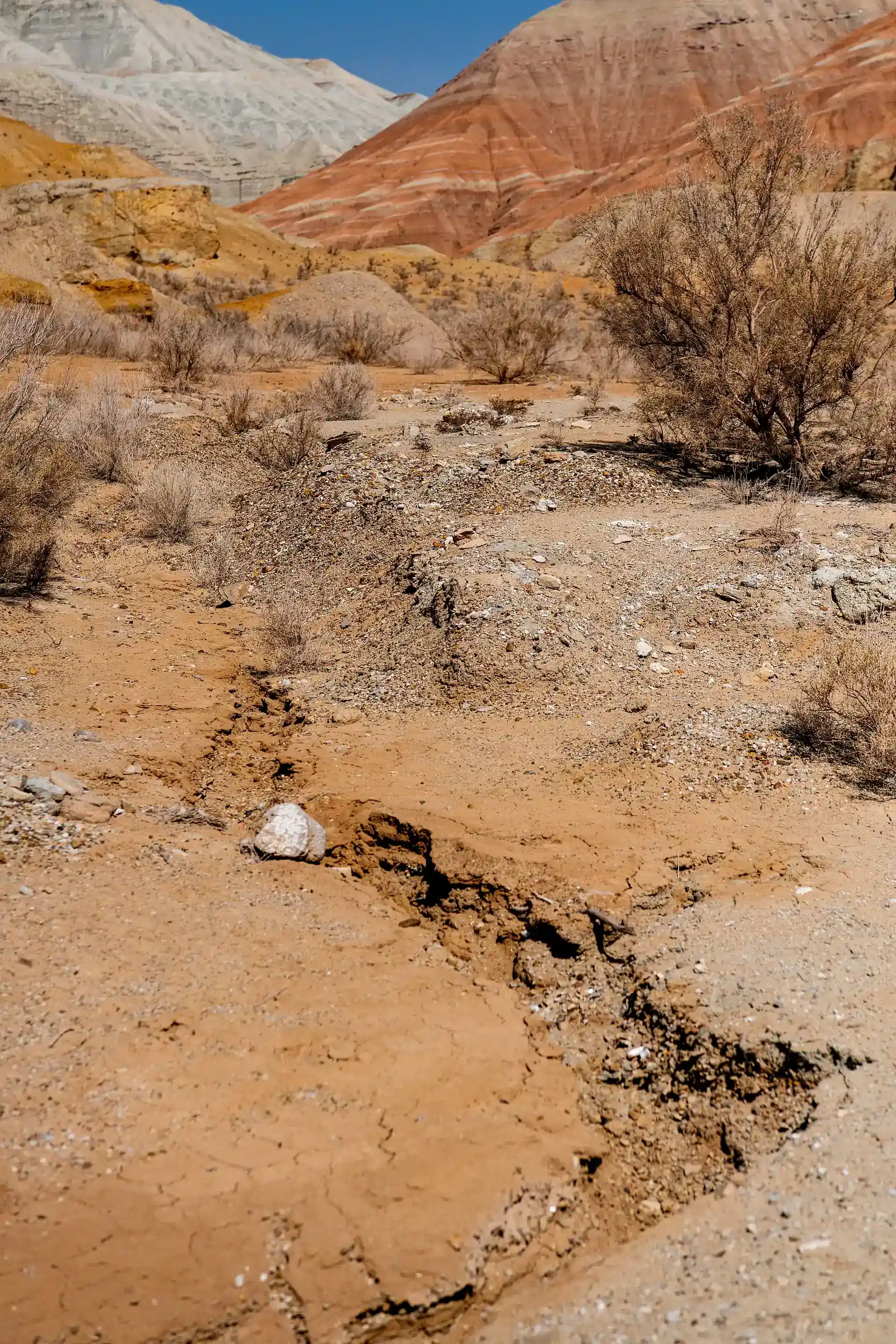
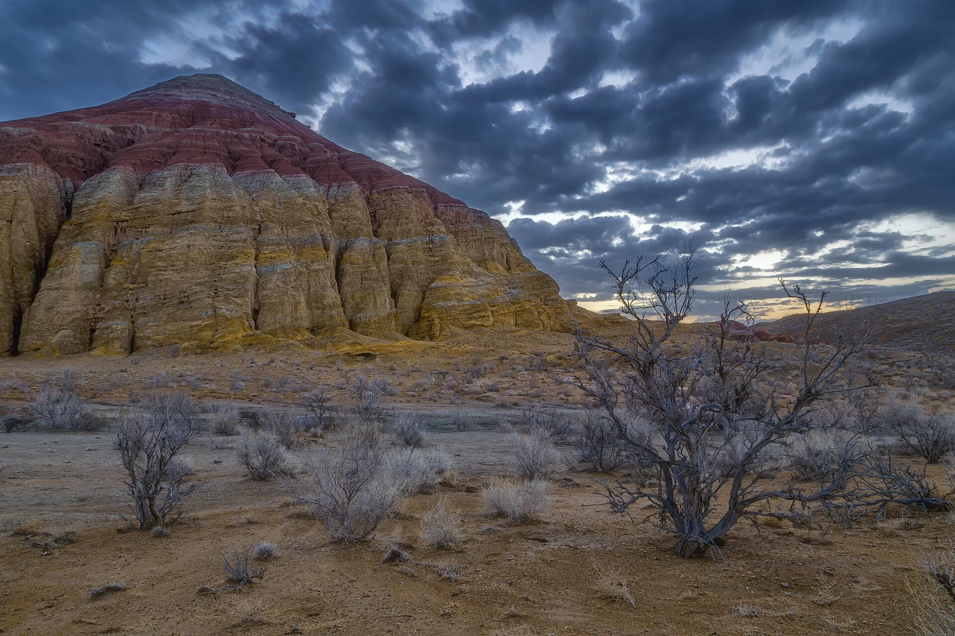
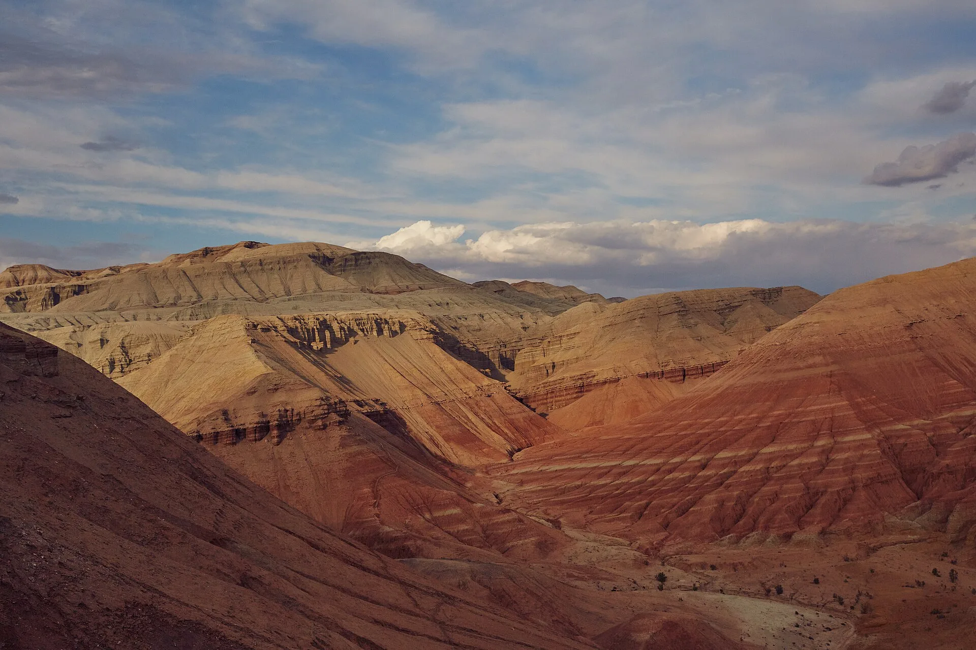
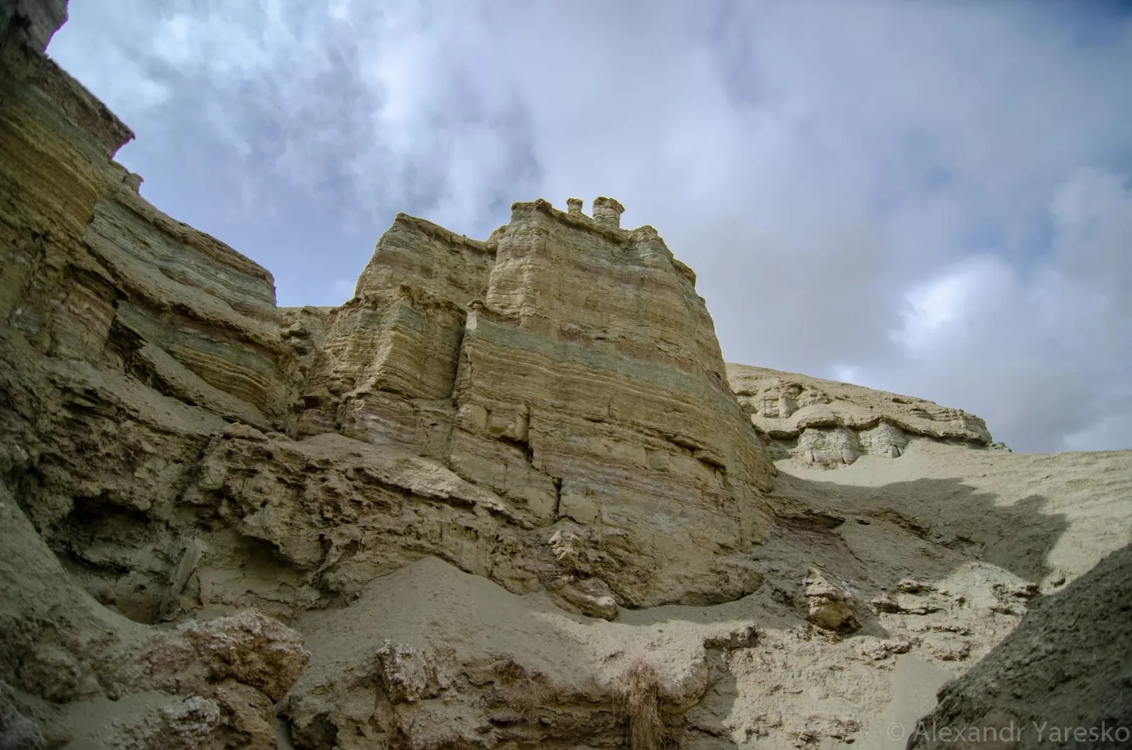
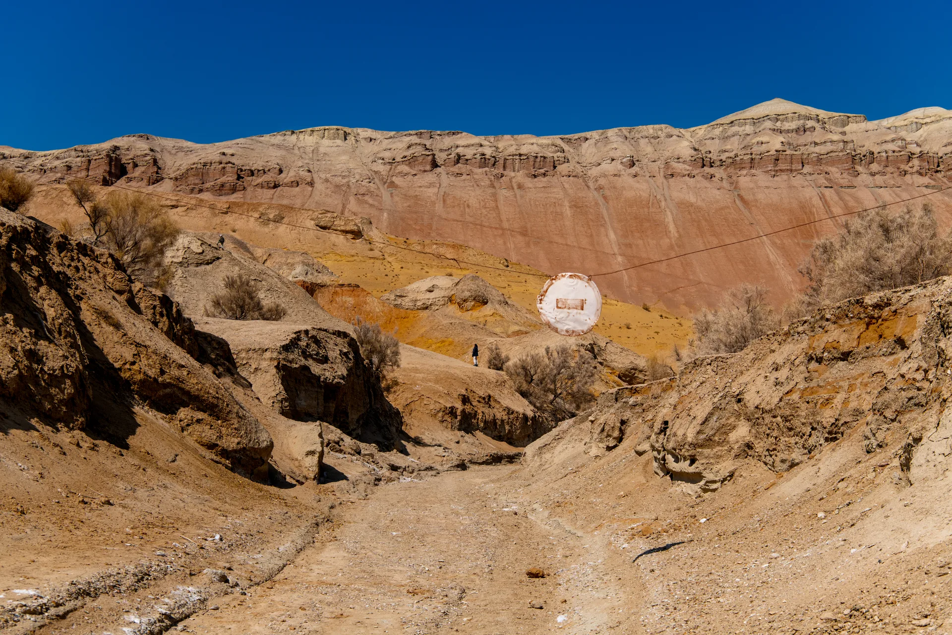
A 2–3 km walking loop enters the gully system known locally as the labyrinth — a maze of eroded clay channels that cut 5–15 m deep into the sediment. The Red Gorge section runs through an iron-oxide-rich stratum where the walls are a deep ochre-red on both sides and narrow to shoulder width in places. A second formation called 'the Paw' — a cluster of eroded pillars on the ridgeline that silhouettes into the shape of a large animal's foot from the south — is a 400 m side detour from the main track. The guide will typically identify both landmarks as part of the standard Aktau walk. The sediment underfoot is soft and powdery when dry; it adheres to shoes and clothing and can turn to thick mud after rain, so gaiters or tall rubber boots are useful in shoulder season.
Open Aktau Labyrinth Walk And Red Gorge in maps
Choose a map provider for this destination.
These links open only this place, not a full road-trip route. Links open in a new tab. 2GIS opens the map point; start navigation there.
Gallery
Jump to visit notes
Visit notes
Viewing visit notes for Aktau and Katutau Mountains
Aktau — Labyrinth Walk and Red Gorge
Step 5 · 3 km from previous · 10 min drive
A 2–3 km walking loop enters the gully system known locally as the labyrinth — a maze of eroded clay channels that cut 5–15 m deep into the sediment. The Red Gorge section runs through an iron-oxide-rich stratum where the walls are a deep ochre-red on both sides and narrow to shoulder width in places. A second formation called 'the Paw' — a cluster of eroded pillars on the ridgeline that silhouettes into the shape of a large animal's foot from the south — is a 400 m side detour from the main track. The guide will typically identify both landmarks as part of the standard Aktau walk. The sediment underfoot is soft and powdery when dry; it adheres to shoes and clothing and can turn to thick mud after rain, so gaiters or tall rubber boots are useful in shoulder season.