Overview
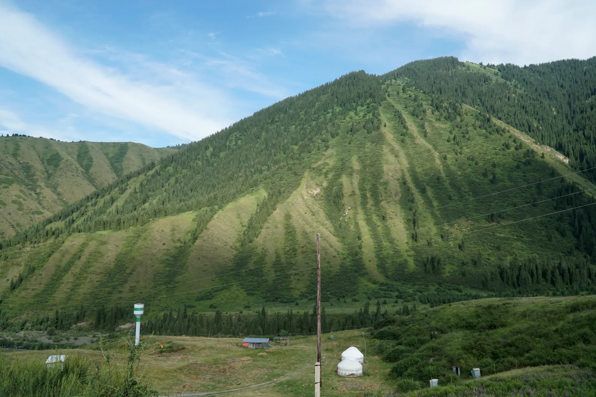
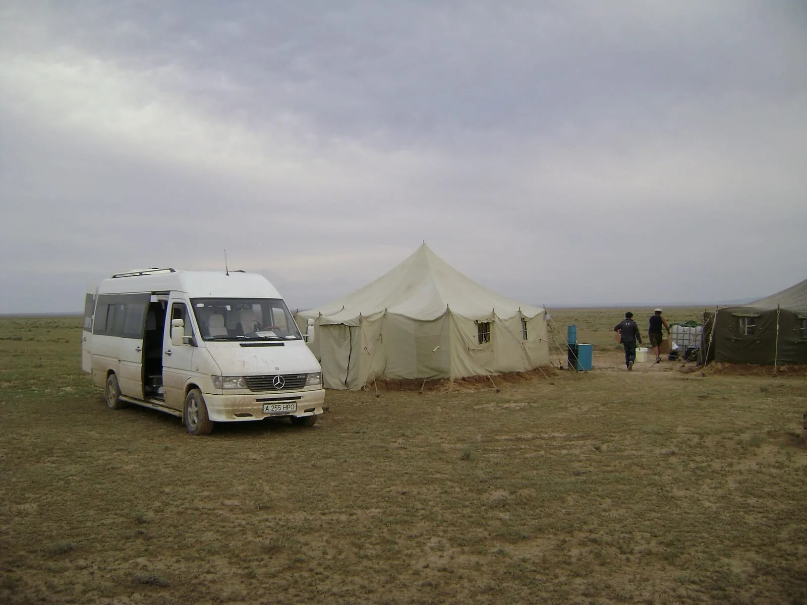
From the jailau camp, a 1.5–2 km walk or short drive uphill reaches a viewpoint above 3,000 m where the full scale of the Kungey Alatau ridge becomes visible. Looking north, the Saty valley is laid out below; looking south, the terrain rolls toward the Kazakhstan–Kyrgyzstan border ridge. Horse and cattle herds are commonly visible across the open slope in midsummer. The pasture here is short-grass alpine steppe grazed continuously by domestic animals since at least the medieval period; the plant cover is notably different from the protected spruce forest below — shorter, more open, marked by animal paths. This is the high point of the trip at roughly 3,000–3,200 m and the turnaround before overnight in Saty. Return to the village by late afternoon. Night: Saty guesthouse.
Open Above Treeline Pasture Viewpoint 3 000 M in maps
Choose a map provider for this destination.
These links open only this place, not a full road-trip route. Links open in a new tab. 2GIS opens the map point; start navigation there.
Gallery
Jump to visit notes
Visit notes
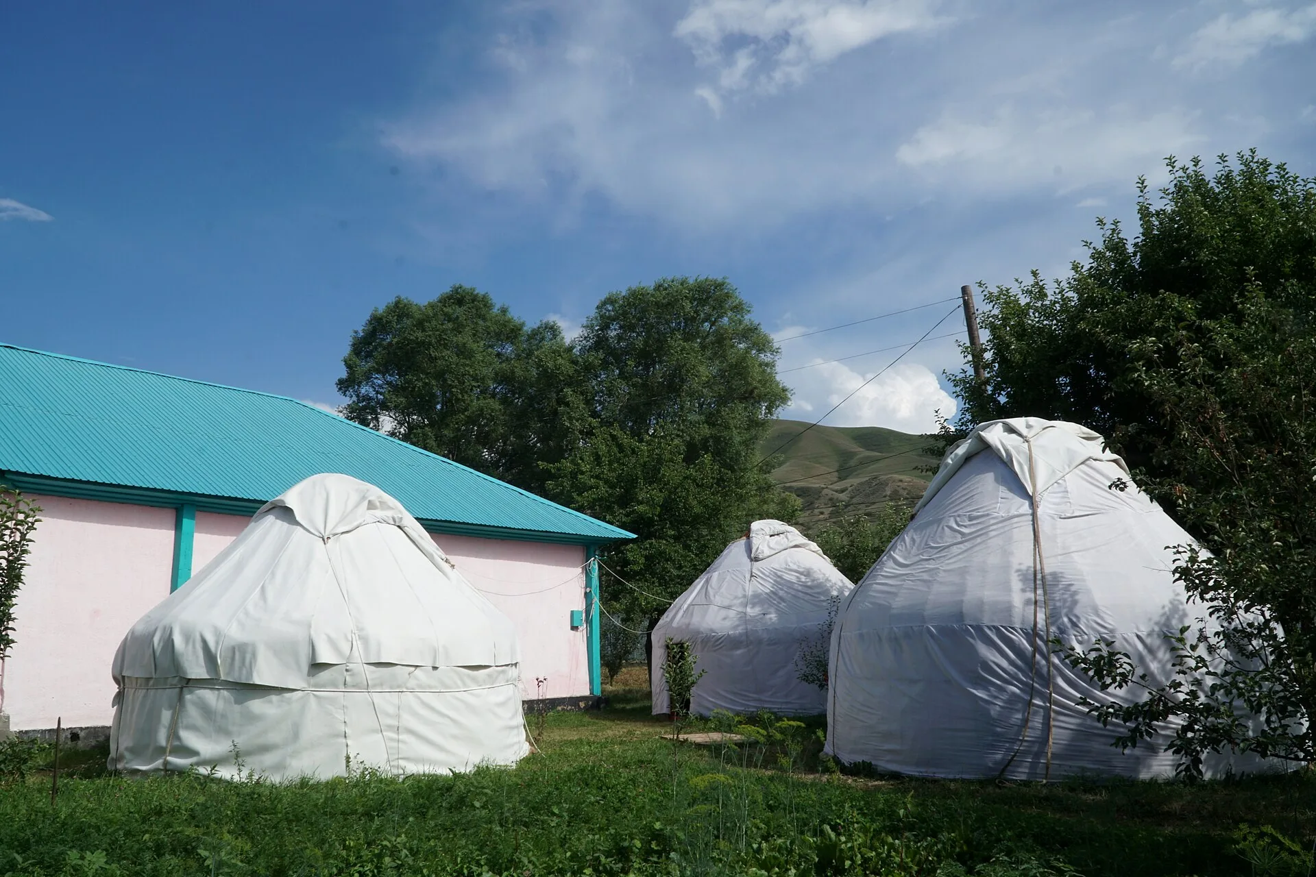
Viewing visit notes for Saty Village and Jailau Summer Pastures
Above-Treeline Pasture Viewpoint (3,000+ m)
Step 7 · 3 km from previous · 20 min drive

From the jailau camp, a 1.5–2 km walk or short drive uphill reaches a viewpoint above 3,000 m where the full scale of the Kungey Alatau ridge becomes visible. Looking north, the Saty valley is laid out below; looking south, the terrain rolls toward the Kazakhstan–Kyrgyzstan border ridge. Horse and cattle herds are commonly visible across the open slope in midsummer. The pasture here is short-grass alpine steppe grazed continuously by domestic animals since at least the medieval period; the plant cover is notably different from the protected spruce forest below — shorter, more open, marked by animal paths. This is the high point of the trip at roughly 3,000–3,200 m and the turnaround before overnight in Saty. Return to the village by late afternoon. Night: Saty guesthouse.