
Overview
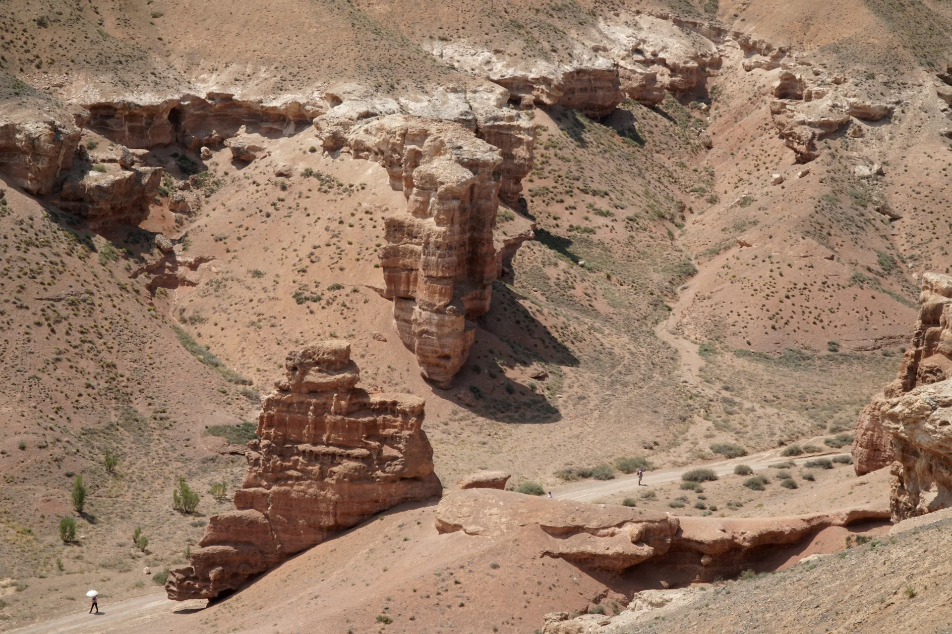
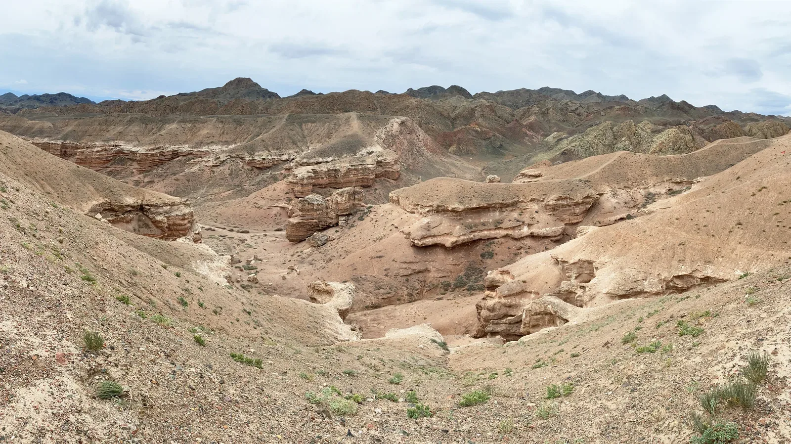
Charyn Canyon cuts through compressed red and ochre sediments laid down over millions of years. The Valley of Castles section — a 2 km corridor roughly 80 m wide and up to 150 m deep — is the main draw, named for the eroded spires that line both walls. A graded path descends to the canyon floor and runs to the Charyn River, where willows and poplars form a narrow riparian forest incongruous with the arid walls above. Allow 2-3 hours to walk the floor and climb back out.
Open Charyn Canyon in maps
Choose a map provider for this destination.
These links open only this place, not a full road-trip route. Links open in a new tab. 2GIS opens the map point; start navigation there.
Curated trails and nearby things from Charyn Canyon
Charyn is best planned around heat, shade, and the climb back out of the canyon floor.
Trail options
If the interactive map is unavailable, the trail cards and nearby list include the same critical details.
Selected trail: Valley of Castles floor walk. Critical route notes remain in the cards below.
Skip map and read trail details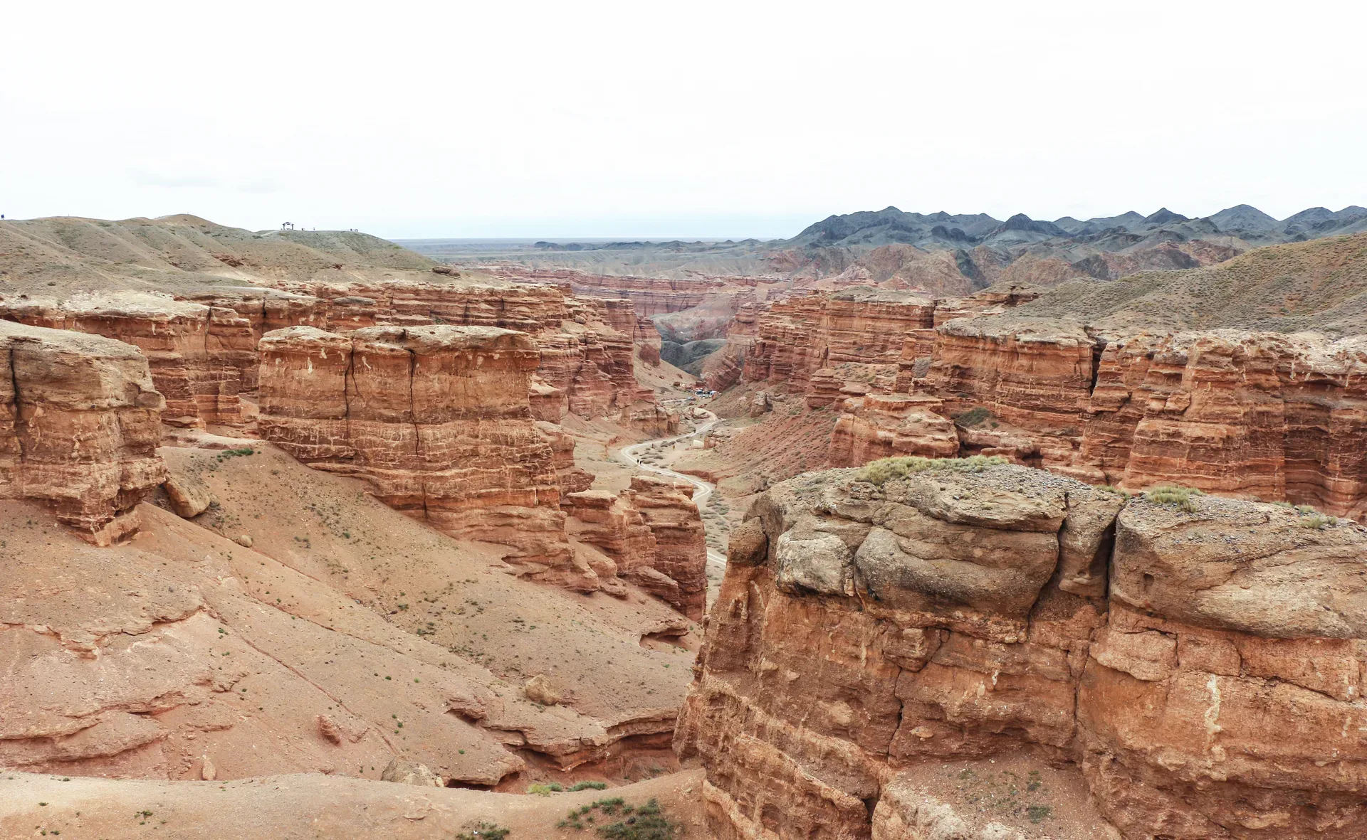
Bernard Gagnon via Wikimedia Commons · CC0 1.0 · Source
Valley of Castles floor walk
A canyon-floor walk from the Charyn rim down through the Valley of Castles to the river shade, then back up the same way.
This is the main walking route most visitors mean when they talk about hiking Charyn Canyon.
The route descends from the visitor area into the red sandstone corridor and follows the canyon floor toward the Charyn River. The return climb is the hardest part in hot weather, so early morning or late afternoon works better in summer.
- Distance
- 4.2 km
- Time
- 2 hr 30 min
- Difficulty
- Moderate
- Route
- Out and back
Moderate because the walk is short but exposed, hot, and ends with a climb back to the rim.
Approximate geometry: use the waypoint list as planning context, not a navigation track.
Access
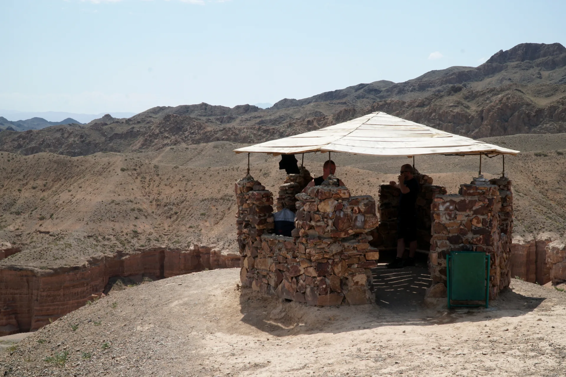
Start from the Valley of Castles visitor area after the park eco-post. Follow the signed descent and return before heat builds.
Use current park entry rules at the eco-post; source material notes entrance control at the canyon approach.
Season: Spring and autumn are most comfortable. Summer heat can be severe in the canyon floor.
Cautions
- heat exposure
- limited shade
- carry water
- steep return ascent
- avoid narrow canyon sections during heavy rain
Waypoints
- Valley of Castles rim parking — Start at the visitor area above the canyon.
- Sandstone corridor floor — Approximate midpoint of the canyon-floor walk.
- Charyn River shade — Usual turnaround before climbing back to the rim.
Sources and review notes
- Charyn Canyon Travel Guide: Valley of Castles from Almaty (en, retrieved 2026-04-26)
- Charyn National Park (en, retrieved 2026-04-26)
Distance and line are approximate because public sources vary between 2 and 3 km for the canyon corridor.
Nearby from Charyn Canyon
Charyn Canyon Valley Of Castles — A signed spur road leaves the A-351 roughly 187 km from Almaty and runs 10 km to the park eco-post, where you pay the entrance fee and show your passport.
- Mode
- Walk
- Approx. time
- 20 min
- Approx. distance
- 0.8 km
- Kind
- natural feature
The Valley of Castles is the same practical visitor zone; use it for more detailed stop notes.
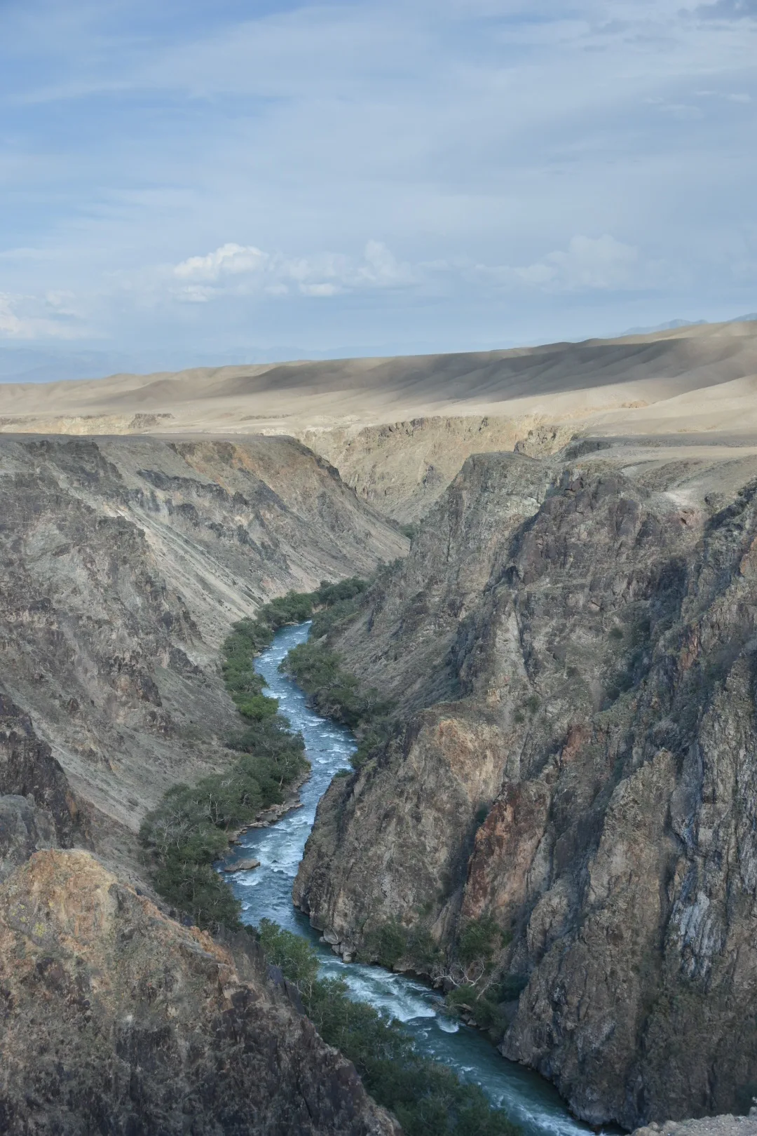
Moon Canyon Uzunbulak — From the Valley of Castles, backtrack briefly and cross the Charyn River bridge onto an unpaved gravel track that runs south-southwest along the river for roughly 10 km to Uzunbulak canyon — known in tourist literature as Лунный каньон (Moon Canyon) or Жёлтый каньон (Yellow Canyon).
- Mode
- Drive
- Approx. time
- 70 min
- Approx. distance
- 45 km
- Kind
- natural feature
A separate canyon landscape on rougher roads; do not treat it as walking distance from Charyn.
Chundzha — Chundzha (also spelled Zhungar or Dzhungar) is a small town roughly 150 km from Almaty along the A-351, reachable in about 90 minutes.
- Mode
- Drive
- Approx. time
- 100 min
- Approx. distance
- 80 km
- Kind
- town
Useful as a hot-spring overnight direction after the canyon, not a nearby walk.
Gallery
Jump to visit notes
Visit notes
Viewing visit notes for Charyn–Kolsai–Kaindy Loop
Charyn Canyon
Step 2 · 205 km from previous · 160 min drive
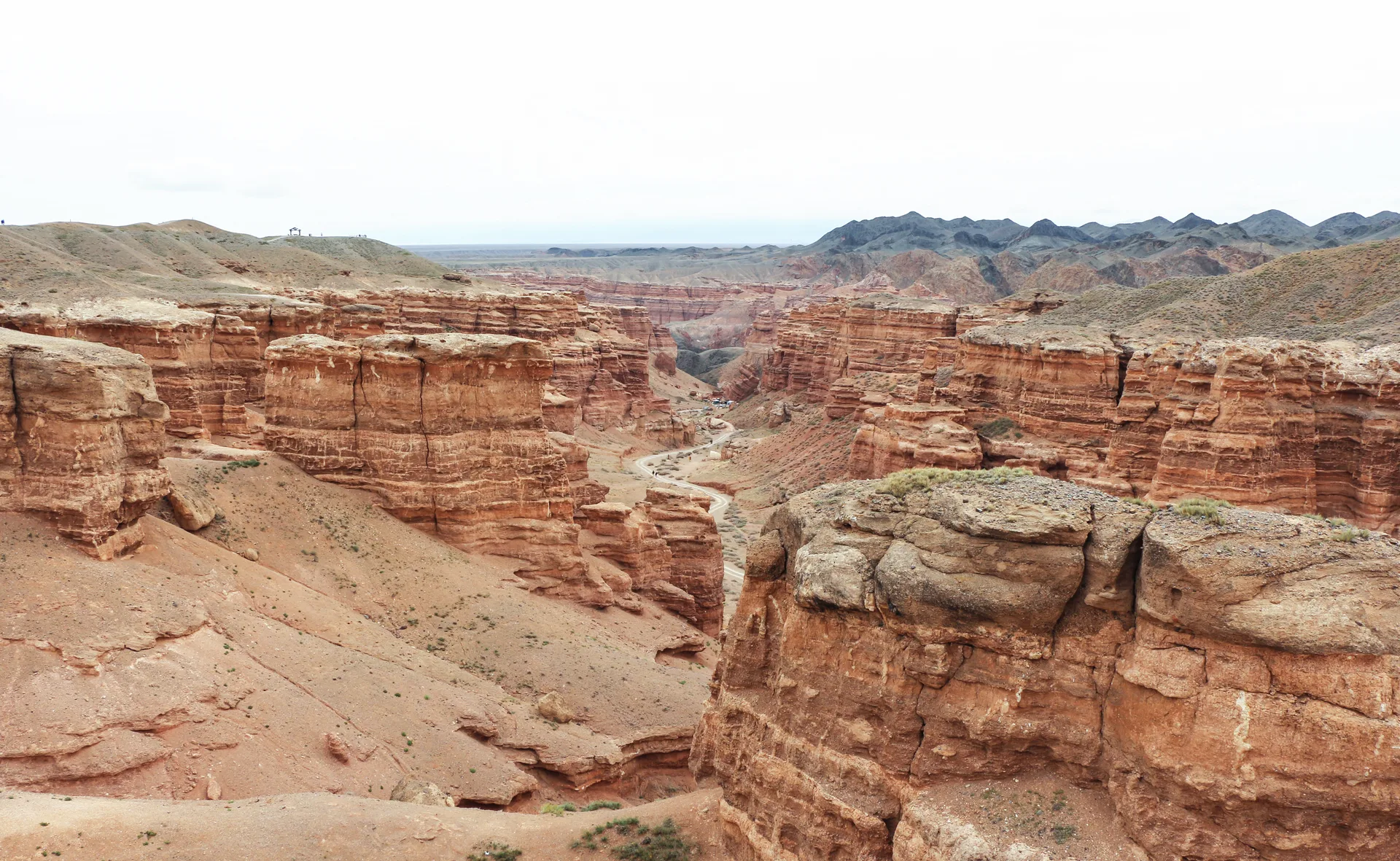
Charyn Canyon cuts through compressed red and ochre sediments laid down over millions of years. The Valley of Castles section — a 2 km corridor roughly 80 m wide and up to 150 m deep — is the main draw, named for the eroded spires that line both walls. A graded path descends to the canyon floor and runs to the Charyn River, where willows and poplars form a narrow riparian forest incongruous with the arid walls above. Allow 2-3 hours to walk the floor and climb back out.