Overview
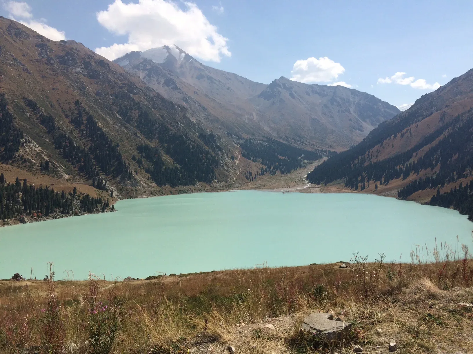
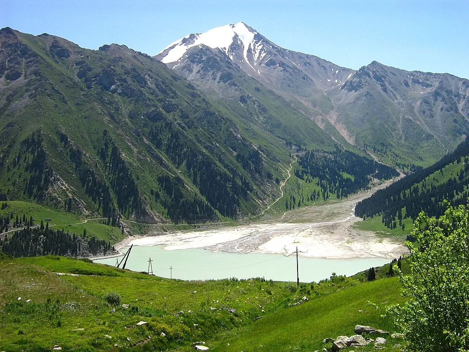
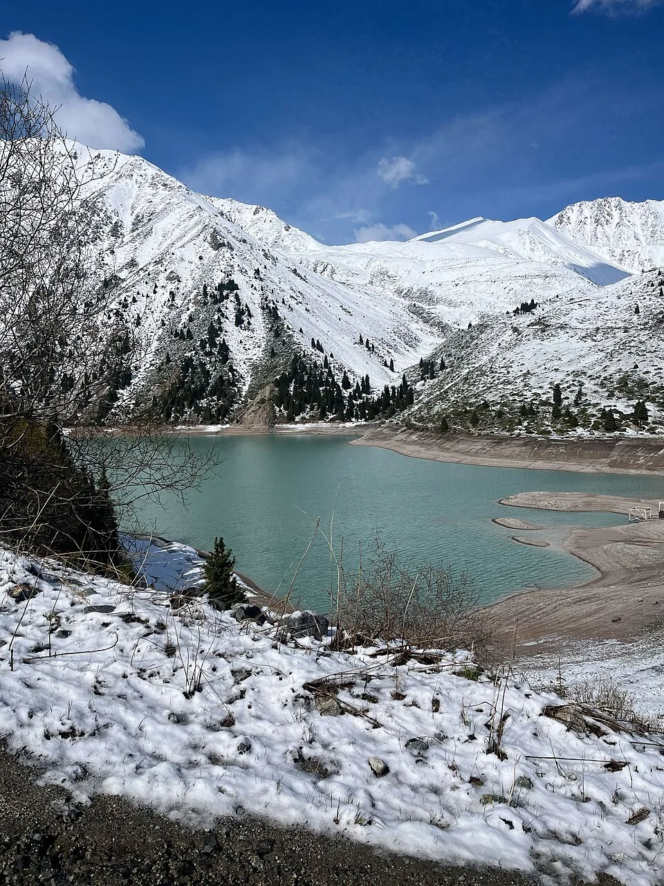
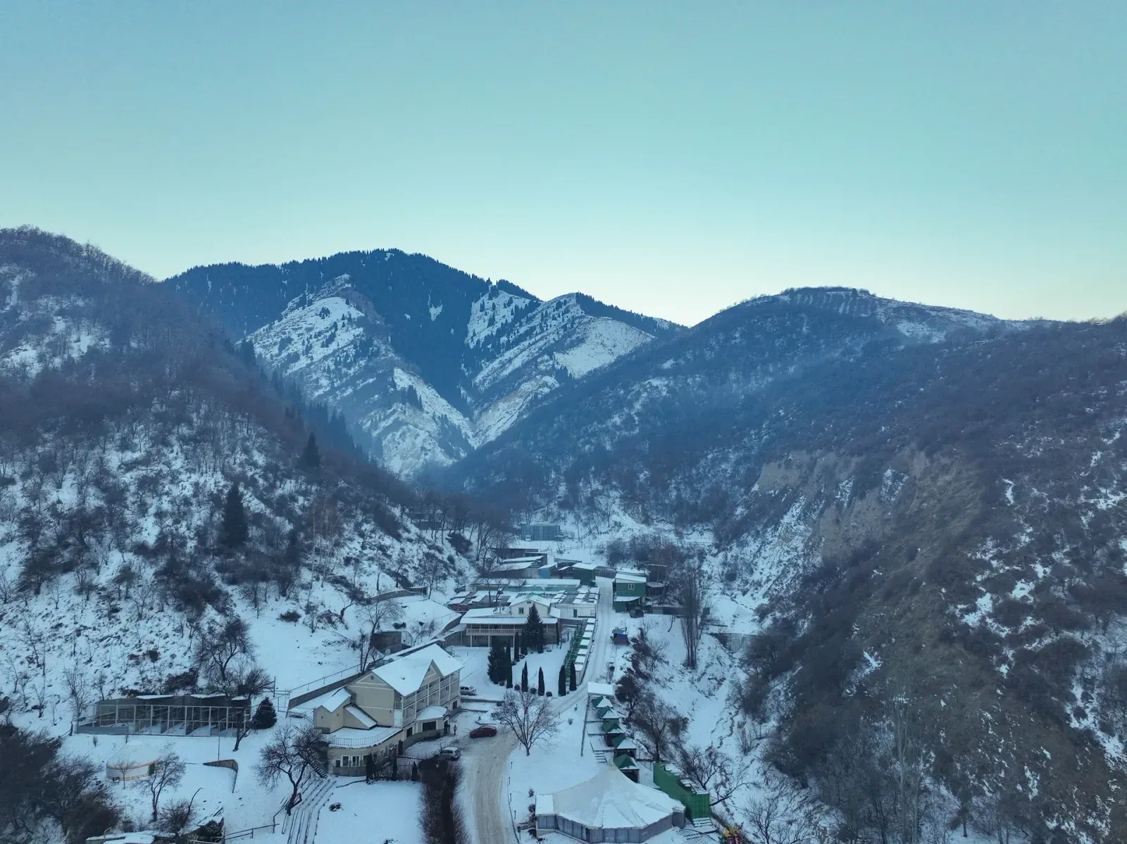
The lake occupies a tectonic basin at 2,511 m and is surrounded on three sides by peaks that hold snow through much of the year. The water colour is most vivid on calm, sunny days in late summer and early autumn; a cloudless September morning turns the surface a deep cyan that contrasts sharply with the grey talus shores. Swimming is prohibited — the lake supplies Almaty's drinking water. A small dam at the outlet controls the flow downstream through GES-1 to GES-2. The shoreline path offers a full circuit of the lake in about 45 minutes. Do not approach the Kyrgyz border markers above the lake.
Open Big Almaty Lake 2 511 M in maps
Choose a map provider for this destination.
These links open only this place, not a full road-trip route. Links open in a new tab. 2GIS opens the map point; start navigation there.
Curated trails and nearby things from Big Almaty Lake 2 511 M
Big Almaty Lake planning depends on current access controls, border-zone rules, and weather above 2,500 m.
Trail options
If the interactive map is unavailable, the trail cards and nearby list include the same critical details.
Selected trail: Big Almaty Lake to the observatory track. Critical route notes remain in the cards below.
Skip map and read trail details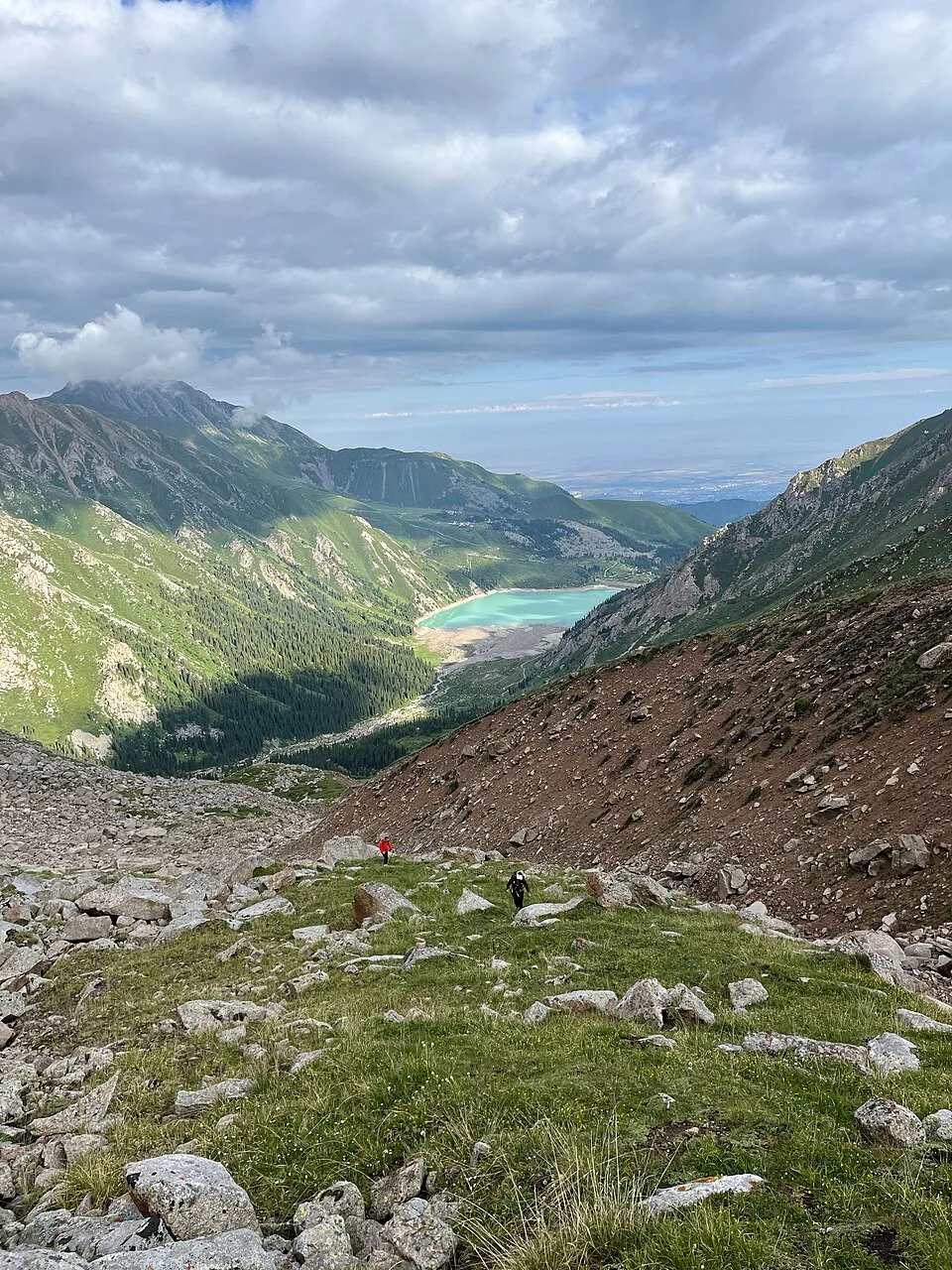
Amarkiev via Wikimedia Commons · CC BY-SA 4.0 · Source
Big Almaty Lake to the observatory track
A short high-altitude extension from the lake viewpoint toward the Tien Shan Astronomical Observatory, when access rules allow it.
Use this only as a planning reference for the upper road above the lake; confirm current access before going.
The rough track climbs above the lake toward the white observatory domes. Treat this as an access-dependent out-and-back walk: border-zone rules, road closures, and drinking-water protection restrictions can change the practical start point.
- Distance
- 4 km
- Time
- 2 hr
- Difficulty
- Moderate
- Route
- Out and back
Moderate because the distance is short but the walk starts above 2,500 m and depends on access controls.
Approximate geometry: use the waypoint list as planning context, not a navigation track.
Access
Carry passport or ID. Do not approach restricted border-zone areas, and obey current access control at the gorge checkpoint and lake.
Access above the lake is sensitive and may require current local permission or a guided arrangement.
Season: Late summer and early autumn give the most stable walking conditions. Winter access and road surface require local confirmation.
Cautions
- border-zone restrictions
- drinking-water protection area
- no swimming
- winter road conditions
- limited mobile signal
- high-altitude weather
Waypoints
- Big Almaty Lake dam viewpoint — Start only where access rules permit.
- Upper observatory track — Rough track above the lake; line is approximate.
- Tien Shan Astronomical Observatory — Working facility; visitor access is not guaranteed.
Sources and review notes
- Big Almaty Lake near Almaty (en, retrieved 2026-04-26)
- Большое Алматинское Озеро (ru, retrieved 2026-04-26)
Published with conservative access language because current vehicle and walking access can change.
Nearby from Big Almaty Lake 2 511 M
Tien Shan Astronomical Observatory 2 735 M — A rough track climbs 2 km above the lake to the Tien Shan Astronomical Observatory, a working scientific facility operated by the Fesenkov Astrophysical Institute.
- Mode
- Walk
- Approx. time
- 60 min
- Approx. distance
- 2 km
- Kind
- cultural site
The observatory sits above the lake on a rough track, but visitor access is not guaranteed.
Ayusay Visitor Centre Gorge Checkpoint — The Ayusay Visitor Centre (marked by a Three Bears sculpture) sits at the gorge entrance and serves as the trailhead for those arriving by public bus (line 28).
- Mode
- Drive
- Approx. time
- 35 min
- Approx. distance
- 10 km
- Kind
- trailhead
This is the practical access-control point below the lake; passport and vehicle rules matter here.
Cosmostation and Zhusaly-Kezen Pass
A high-altitude research-station area above the observatory, suitable only with current access confirmation.
- Mode
- Walk
- Approx. time
- 240 min
- Approx. distance
- 8 km
- Kind
- high altitude research station
Border-zone checks, altitude, and road condition make this a serious extension rather than a casual nearby stop.
Gallery

_and_snowy_peak_of_Soviets_(4317_m)_in_September,_2,_2017.jpg)
%20in%20June.jpg)
Jump to visit notes
Visit notes
Viewing visit notes for Big Almaty Lake
Big Almaty Lake — 2,511 m
Step 3 · 10 km from previous · 30 min drive

The lake occupies a tectonic basin at 2,511 m and is surrounded on three sides by peaks that hold snow through much of the year. The water colour is most vivid on calm, sunny days in late summer and early autumn; a cloudless September morning turns the surface a deep cyan that contrasts sharply with the grey talus shores. Swimming is prohibited — the lake supplies Almaty's drinking water. A small dam at the outlet controls the flow downstream through GES-1 to GES-2. The shoreline path offers a full circuit of the lake in about 45 minutes. Do not approach the Kyrgyz border markers above the lake.