Overview
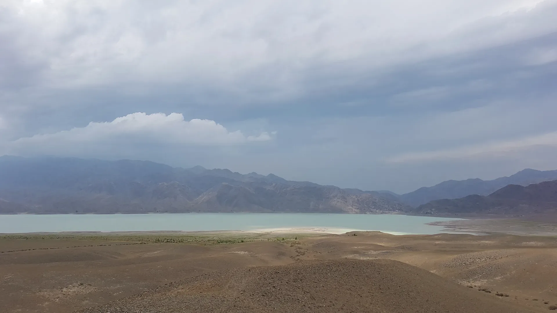
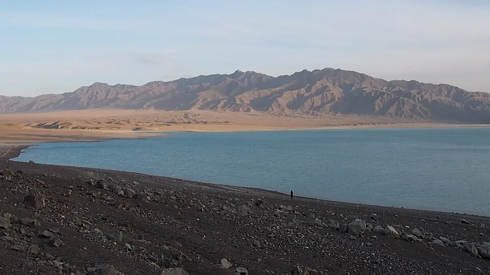
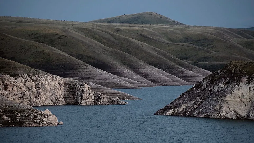
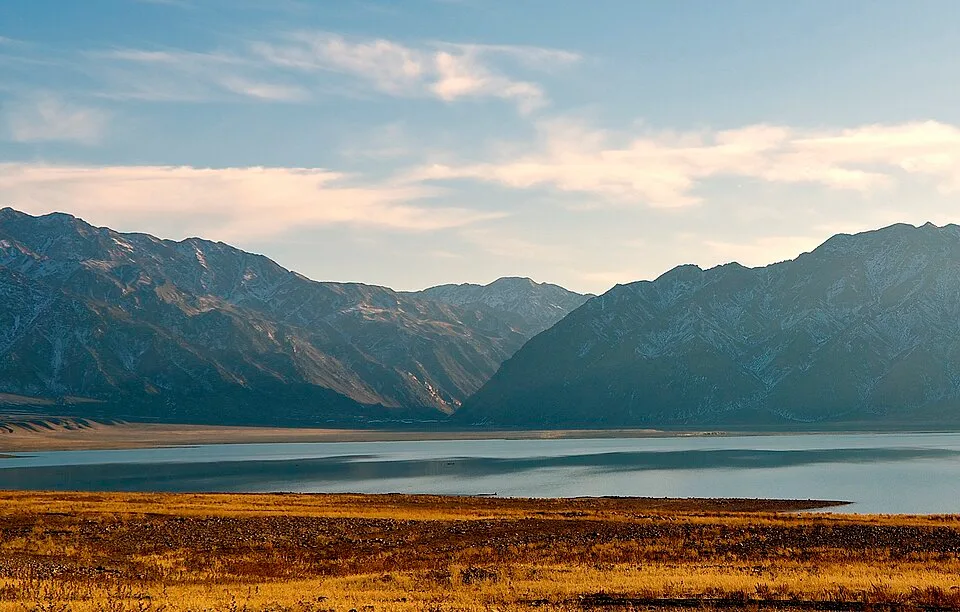
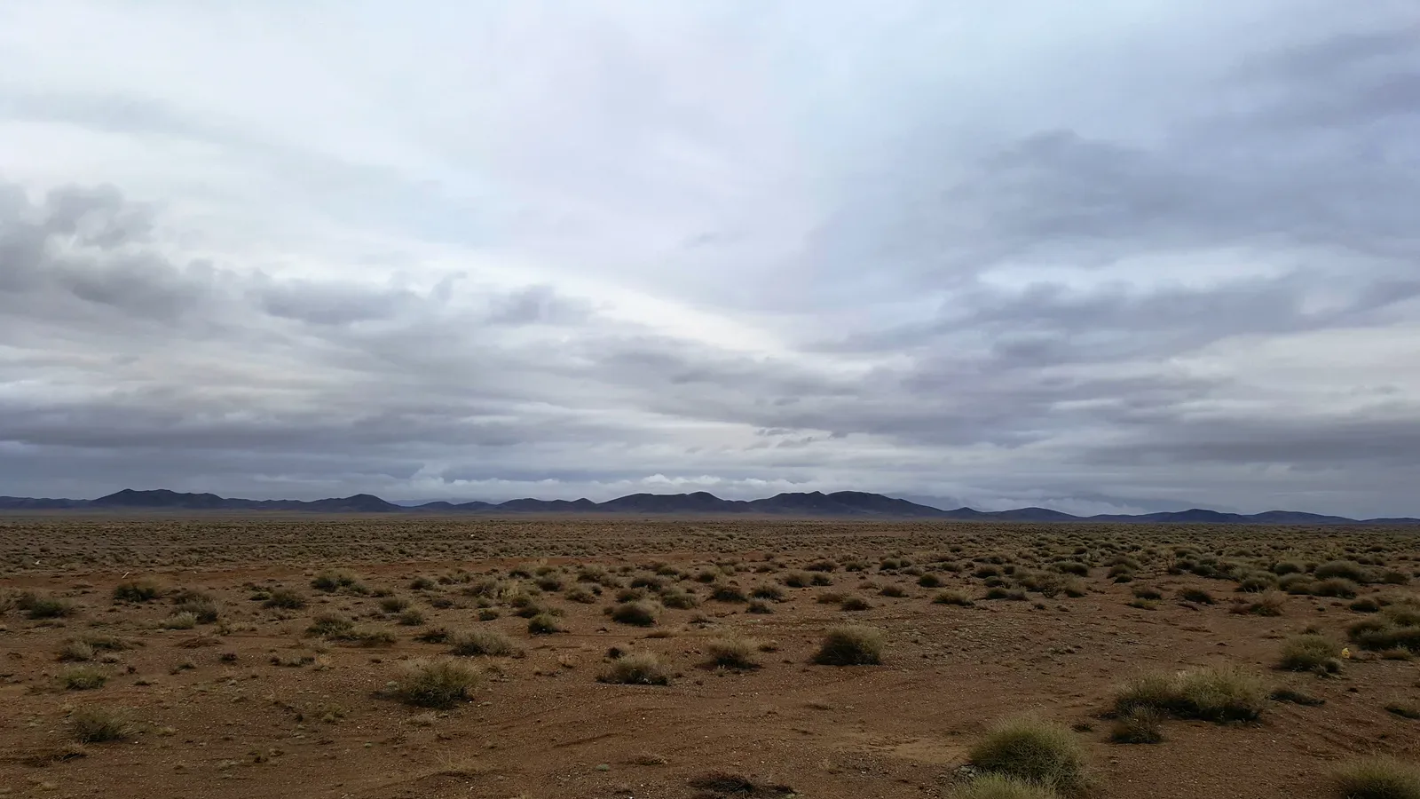
The Bartogay dam appears after the road bends south from Kokpek village. The reservoir stretches 6 km north to south and 3 km across, with maximum depth of 25–30 m. Water colour ranges from pale turquoise in spring when snowmelt fills the basin to a deeper teal in autumn when irrigation releases have subsided. The shoreline is open steppe — there is no shade — so the Toraigyr area on the western bank, sheltered by a low ridge, is the best camp spot. Kurgans (ancient burial mounds) are visible on the surrounding terraces. Swimming is possible but officially discouraged; fishing for trout and carp is permitted in season.
Open Bartogay Reservoir in maps
Choose a map provider for this destination.
These links open only this place, not a full road-trip route. Links open in a new tab. 2GIS opens the map point; start navigation there.
Gallery
_(28754128301).jpg)
Jump to visit notes
Visit notes
Viewing visit notes for Bartogay Reservoir & Kurmety Gorge
Bartogay Reservoir
Step 2 · 194 km from previous · 165 min drive

The Bartogay dam appears after the road bends south from Kokpek village. The reservoir stretches 6 km north to south and 3 km across, with maximum depth of 25–30 m. Water colour ranges from pale turquoise in spring when snowmelt fills the basin to a deeper teal in autumn when irrigation releases have subsided. The shoreline is open steppe — there is no shade — so the Toraigyr area on the western bank, sheltered by a low ridge, is the best camp spot. Kurgans (ancient burial mounds) are visible on the surrounding terraces. Swimming is possible but officially discouraged; fishing for trout and carp is permitted in season.