
Overview
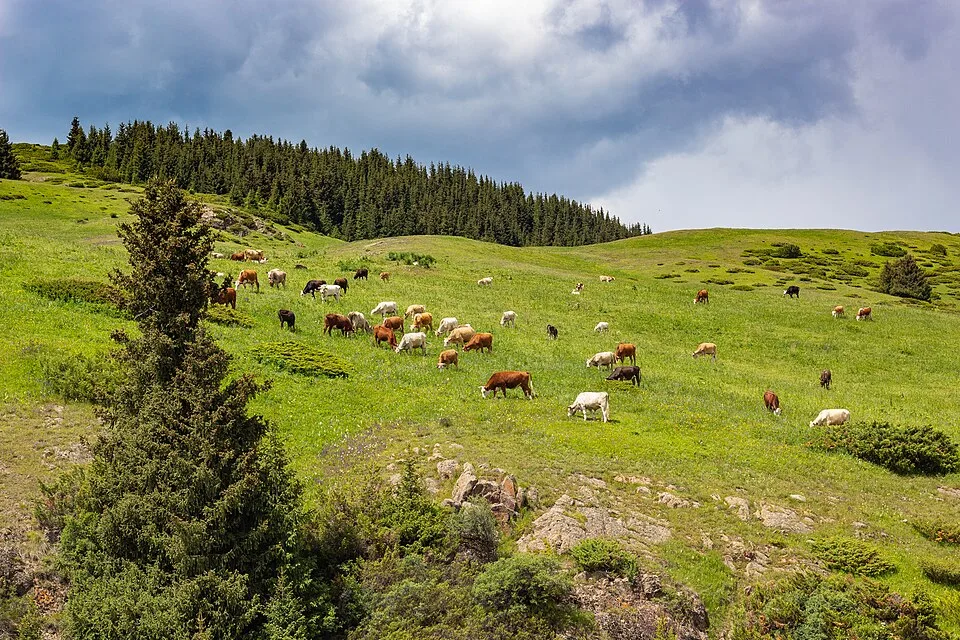
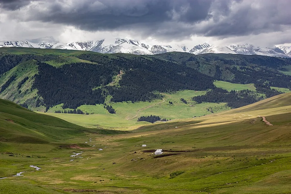
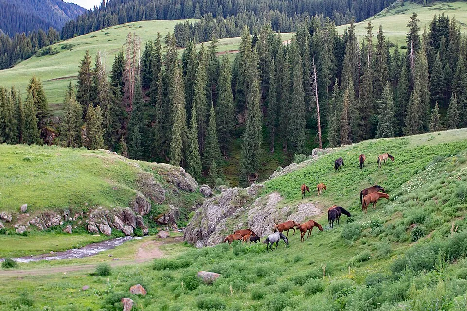
Cresting the Asy Pass at 2600 m, the plateau opens to the south and east — roughly 40 km long and 7 km wide, at elevations between 2100 and 2800 m. In summer (June–September) Kazakh herding families set up their jailau (seasonal pasture camps) here, and it is common to see dozens of yurts along the river valleys. The Turgen River and its tributaries cross the plateau floor, and some crossings require picking a careful line in the water. Ancient burial mounds (kurgans) and petroglyphs dot the hillsides. Marmots are abundant; golden eagles and lammergeier circle the ridgelines. The plateau is cold and windy even in July, and afternoon thunderstorms are common.
Open Assy Plateau Jailau And Nomad Camps in maps
Choose a map provider for this destination.
These links open only this place, not a full road-trip route. Links open in a new tab. 2GIS opens the map point; start navigation there.
Gallery
.jpg)
.jpg)
.jpg)
Jump to visit notes
Visit notes
Viewing visit notes for Assy Plateau
Assy Plateau — jailau and nomad camps
Step 3 · 25 km from previous · 60 min drive
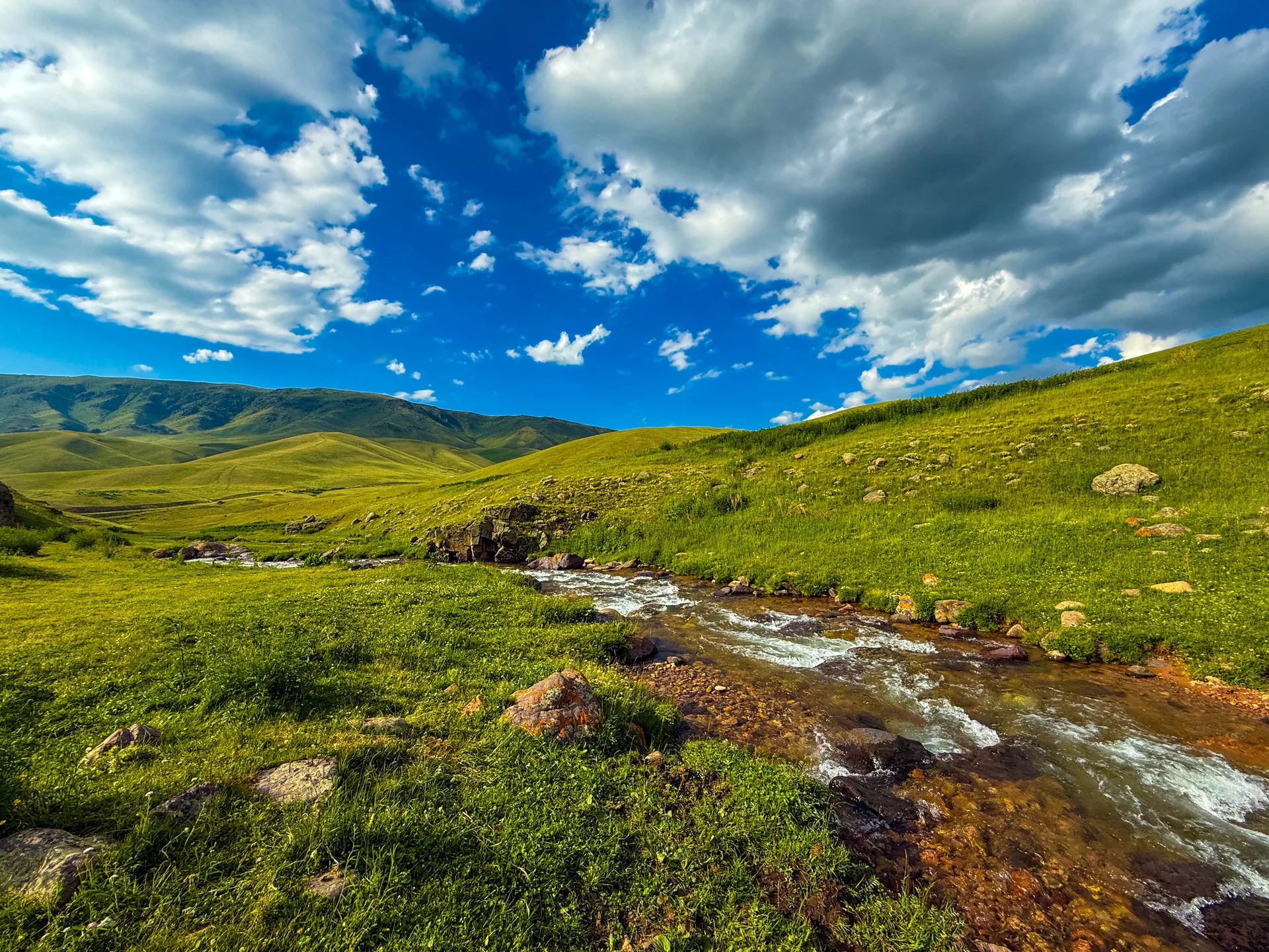
Cresting the Asy Pass at 2600 m, the plateau opens to the south and east — roughly 40 km long and 7 km wide, at elevations between 2100 and 2800 m. In summer (June–September) Kazakh herding families set up their jailau (seasonal pasture camps) here, and it is common to see dozens of yurts along the river valleys. The Turgen River and its tributaries cross the plateau floor, and some crossings require picking a careful line in the water. Ancient burial mounds (kurgans) and petroglyphs dot the hillsides. Marmots are abundant; golden eagles and lammergeier circle the ridgelines. The plateau is cold and windy even in July, and afternoon thunderstorms are common.